Drone data processed into a Digital Twin
Get precise 3D and 2D representations of your project to get your design started.
Process data into digital models
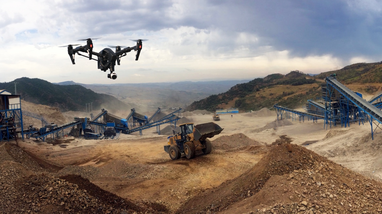
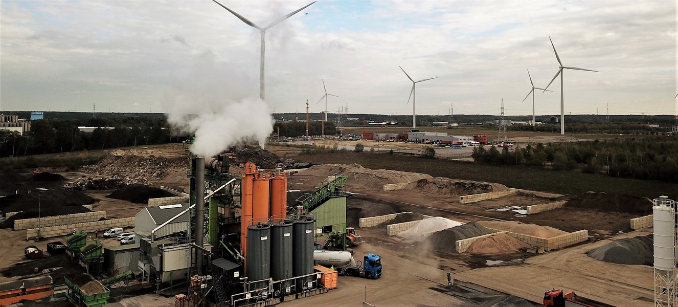
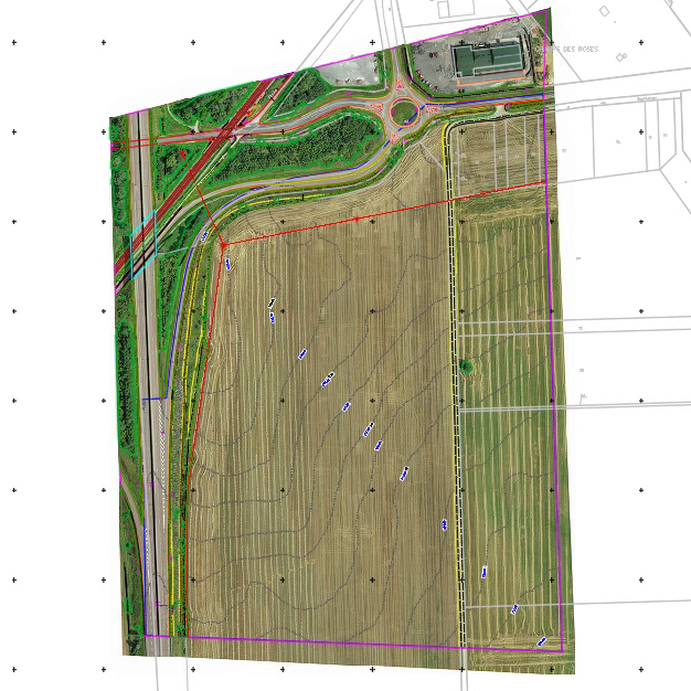
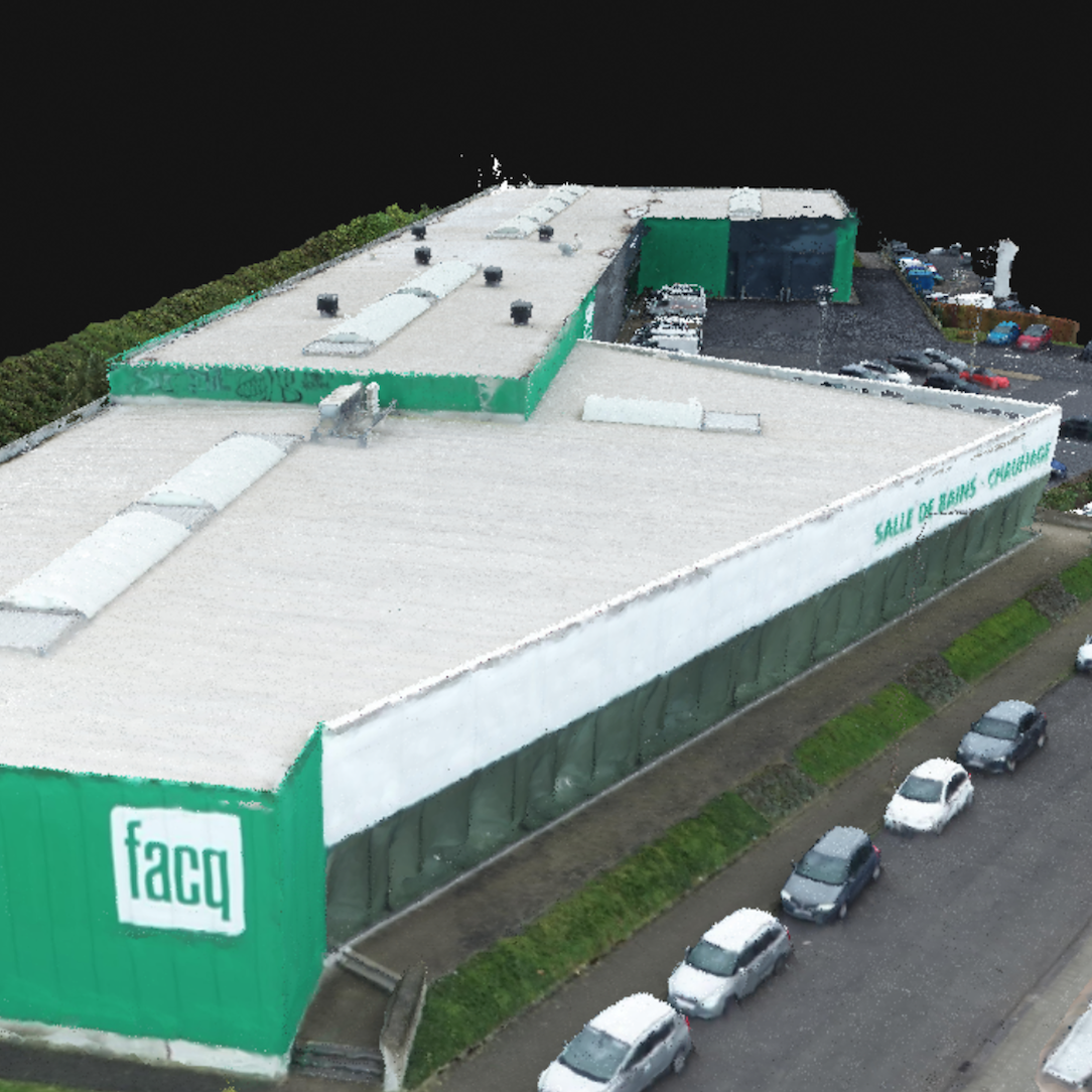
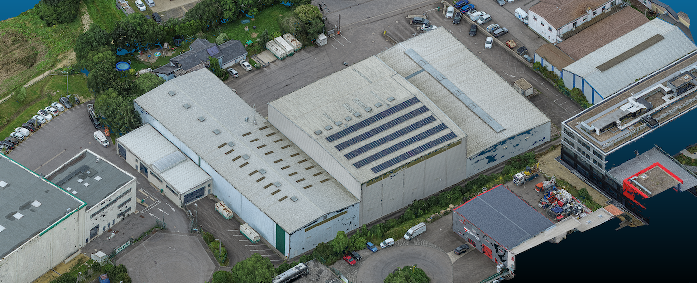
A 3D drone mapping is essentially a land survey, but more complete, more precise, and much faster. It also provides a safer and more cost-effective way compared to traditional methods. 3D drone mappings can be completed for terrains, roofs, stockpiles, and operational or maintenance tasks. The deliverables include a 3D point cloud, a 3D mesh and a 2D orthomosaic.
There are several technologies that deliver the best results for 3D drone mappings of land surveys. Drones can use laser sensors as well as high resolution cameras. The laser sensor is known as LIDAR. The high-resolution camera system is called photogrammetry. Both have their pros and cons, and the choice of which to use depends on the project requirements.
Photogrammetry
Photogrammetry is as old as the camera itself and has been used for topographic surveys as early as the 1850's. Photogrammetry uses photographs to extract 3-dimensional measurements from 2-dimensional pictures. Today's modern high-resolution cameras are small enough to be mounted on small drones which are subject to less restrictions than larger drones based on take-off weight. Yet with HD cameras powerful enough to take 40-megapixel pictures, the resolution provides enough data to generate a 3D terrain mapping accurate to within 1cm.
All this is calculated from a set of coordinates. The auto-pricing algorithm makes us the only ones in the world that do not repeatedly negotiate prices for each flight. This is because we get the price right the first time, and every time.
LIDAR
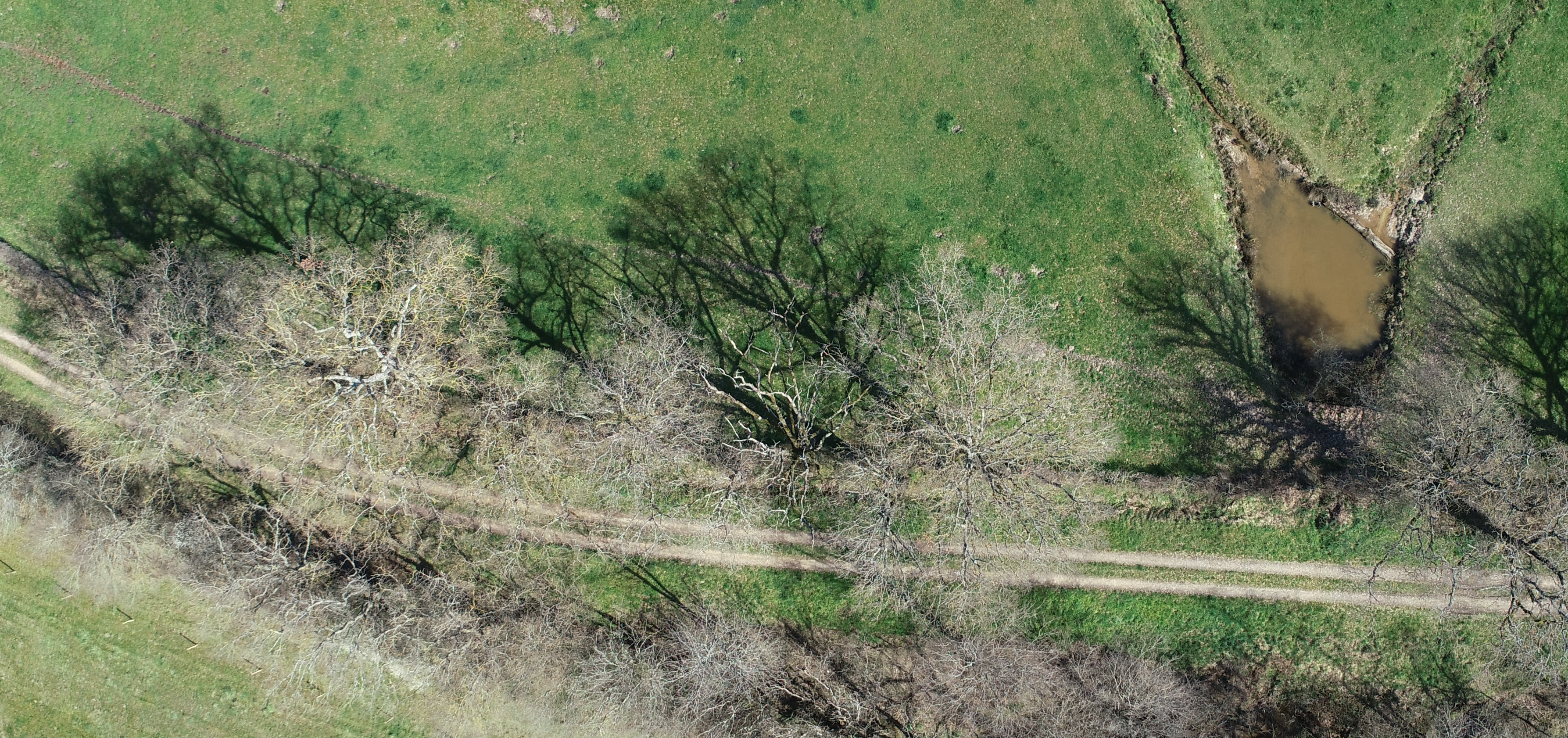
LIDAR is sometimes also referred to as "LiDAR", "LIDaR", or "Lidar" as well as "3D Laser Scanning". The term refers to Light, Detection and Ranging. The technology uses a fine laser that emits pulses of ultraviolet, visible, or near infrared light to objects and uses a special sensor to detect the reflected energy. LIDAR is extremely accurate and when completed by a surveyor at ground level or by a drone at low altitudes, the accuracy can be sub-centimeter. LIDAR maps that were created using airplanes at higher altitudes are less accurate and not useful for most projects.
LIDAR vs Photogrammetry
There are a significant number of articles debating this topic online and it really comes down to a case-by-case basis. Overall, the equipment is far more expensive, which can increase project costs.
Based on our experience at Inflights, photogrammetry works well:
- on roofs and buildings
- on low density of vegetation
- when the color value of the terrain or building needs to be used
- when a precision of 1-3cm is needed
LIDAR is needed :
- in high density of vegetation (forest, agriculture fields) and
- when a digital terrain model is required
Act with more confidence
The number of obstacles on a roof, the contours of a terrain, buildings and trees scattered around all have a profound impact on the design of your project. To help manage your time, scope, and budget, we analyze the drone data for you and compile it into a tailor-made product, easy for our clients to interpret and base decisions upon.
Data insights team
Our Inflights engineers develop the highest quality products from drone data captured by local pilots. We also opted to develop a high-quality data analytics team in house.
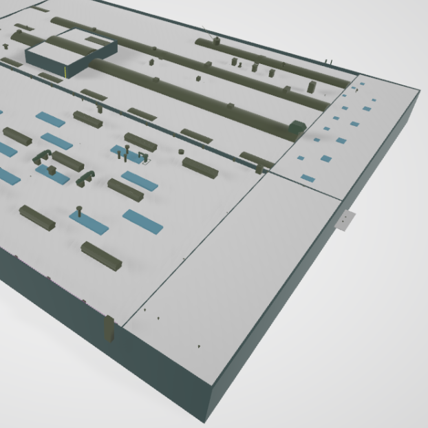
Deliverables
A standardized set of products ready to integrate into your existing workflow.
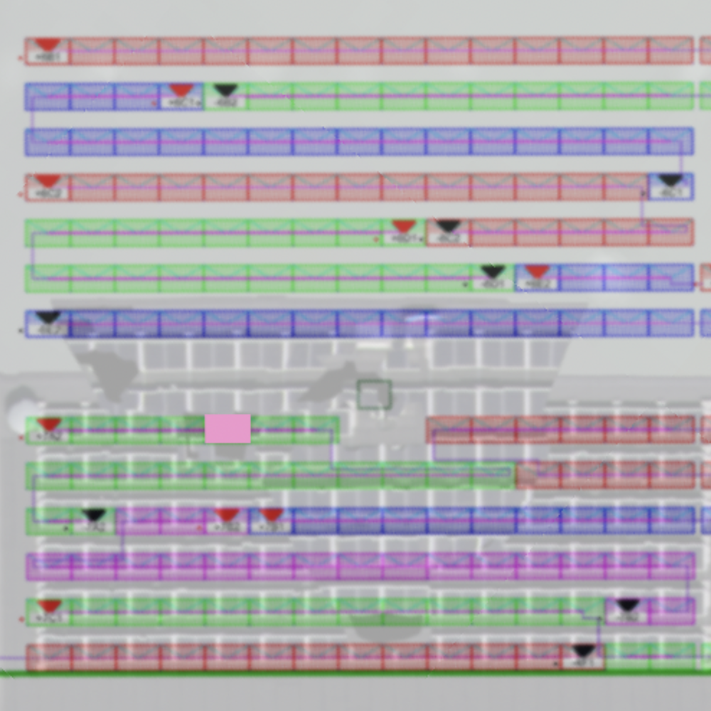
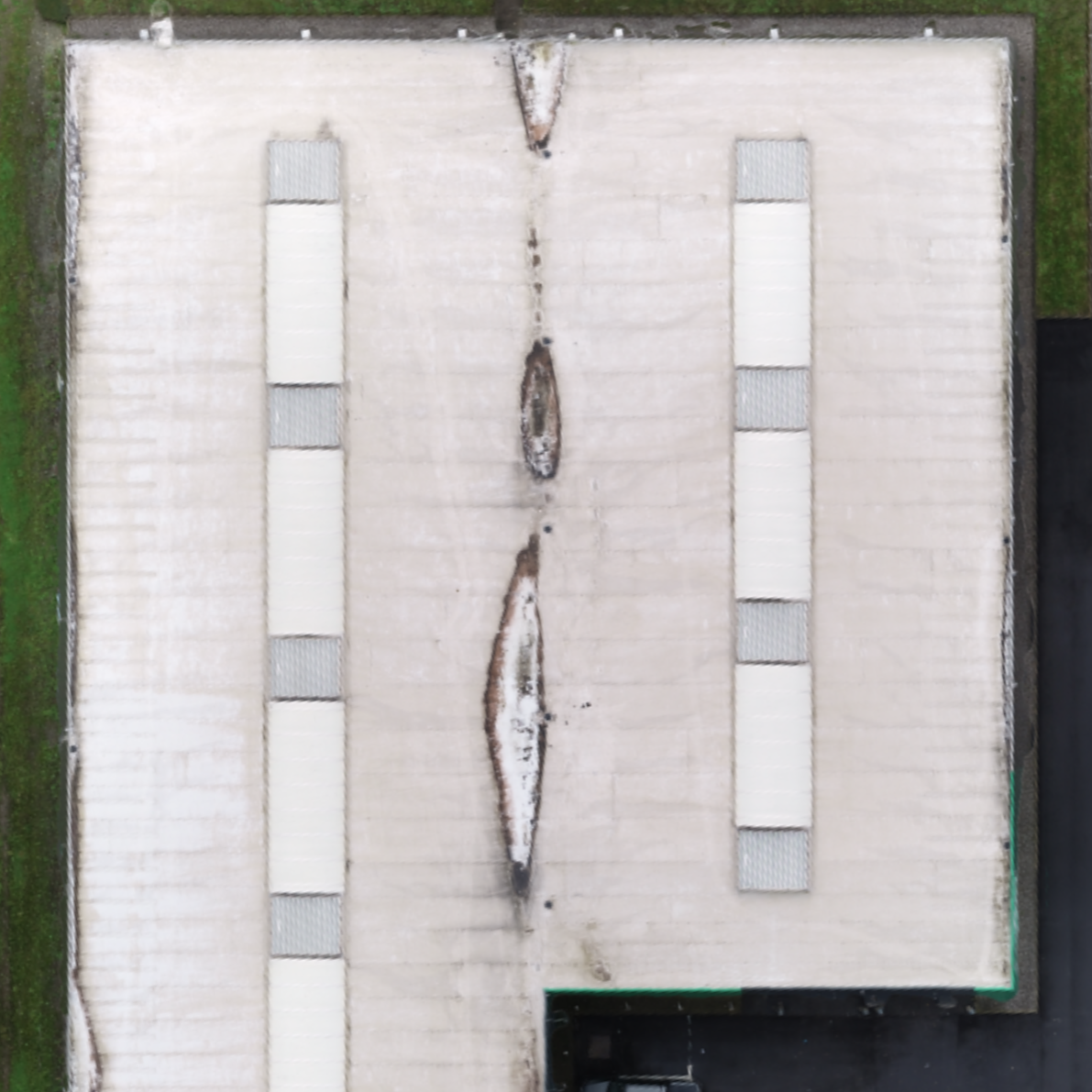
CAD Roof
The linework of synthesizing a roof with its obstacles in a 3D CAD Model.
CAD Drawing
A CAD model (DWG) containing the Digital Terrain Model, the Digital Surface Model and the linework.
Infrared Inspection
A report containing an overview of the anomalies in a solar plant.
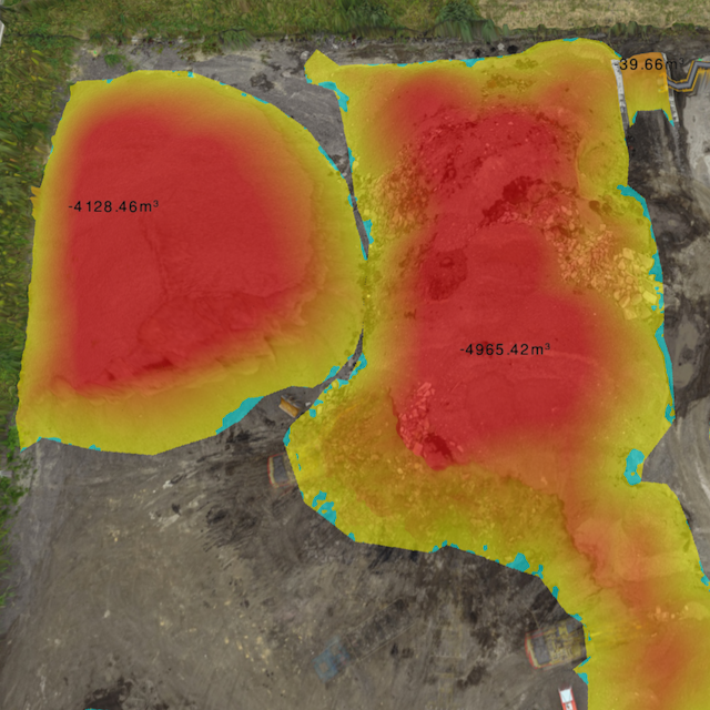
Stockpiles
A report containing the volumes of stockpiles.
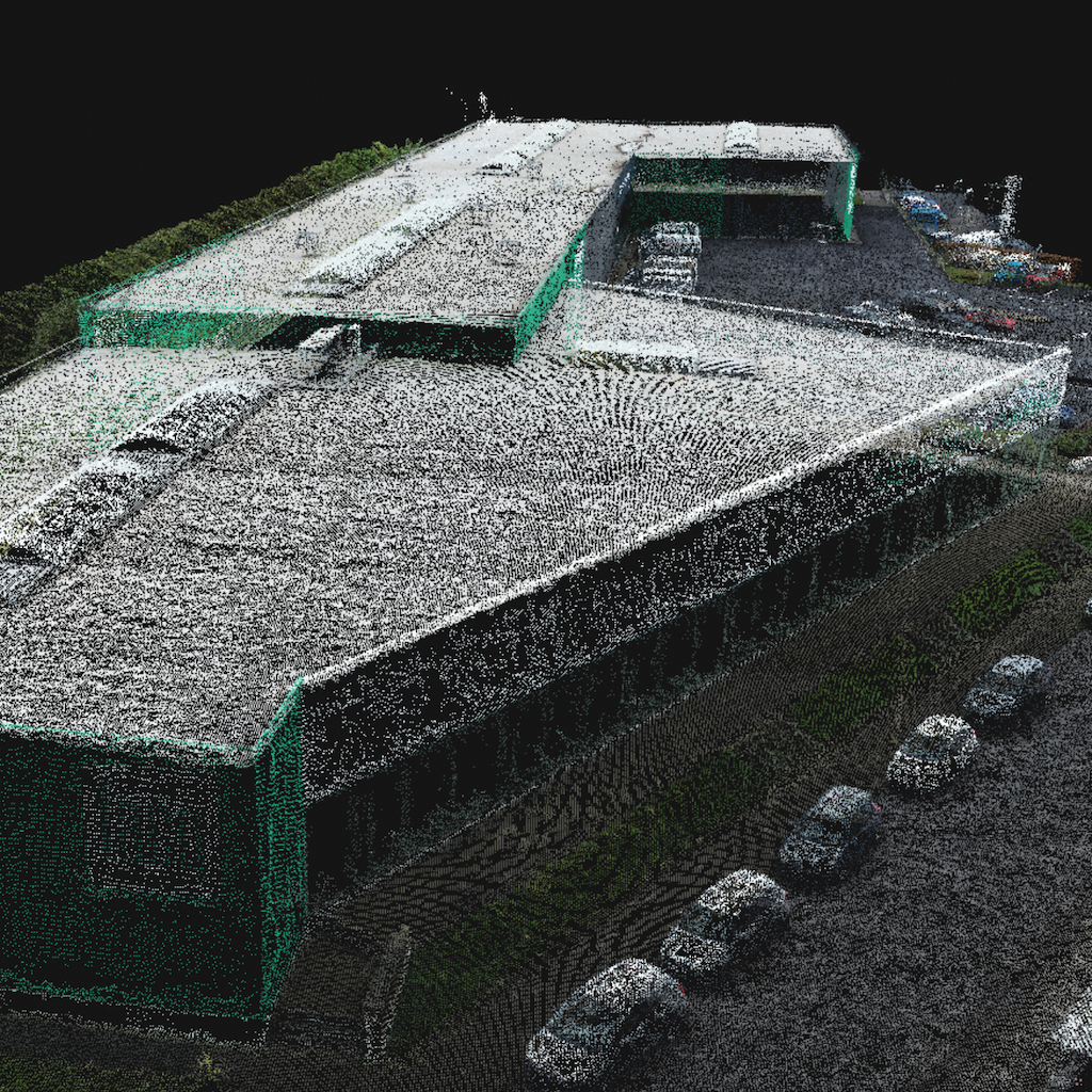
Point Cloud
The area of interest is modeled by a cloud of points in space, each with its own color and coordinates.
Textured Mesh
A mesh is the 3D shape of a model, approximated by triangles. The texture is a sheet based on the pictures that acts like as a skin lying on the surface of your model.
Orthomosaic
The area is represented by a photorealistic map. This map is made of rectified photos and synthesized into an accurate high resolution georeferenced image.
How it works
Our global pilot community and central team are ready to help you obtain the drone data for your project
Standardized process
Request your quote
- Upload the area to be mapped to the Inflights Platform or select an area on the map.
Get an instant price
- Our algorithms will generate the best price for you based on our pricing agreements with our pilot community.
Sit back and relax
- We ensure that all legal requirements are met. We keep you updated with all the critical steps in the process and inform you when the final deliverables are ready.
Download or View your results online
- View your deliverables online or use our ready-to-use files on your own software to start designing your site.