AnalyzeHigh ResolutionDrone image for Inspection
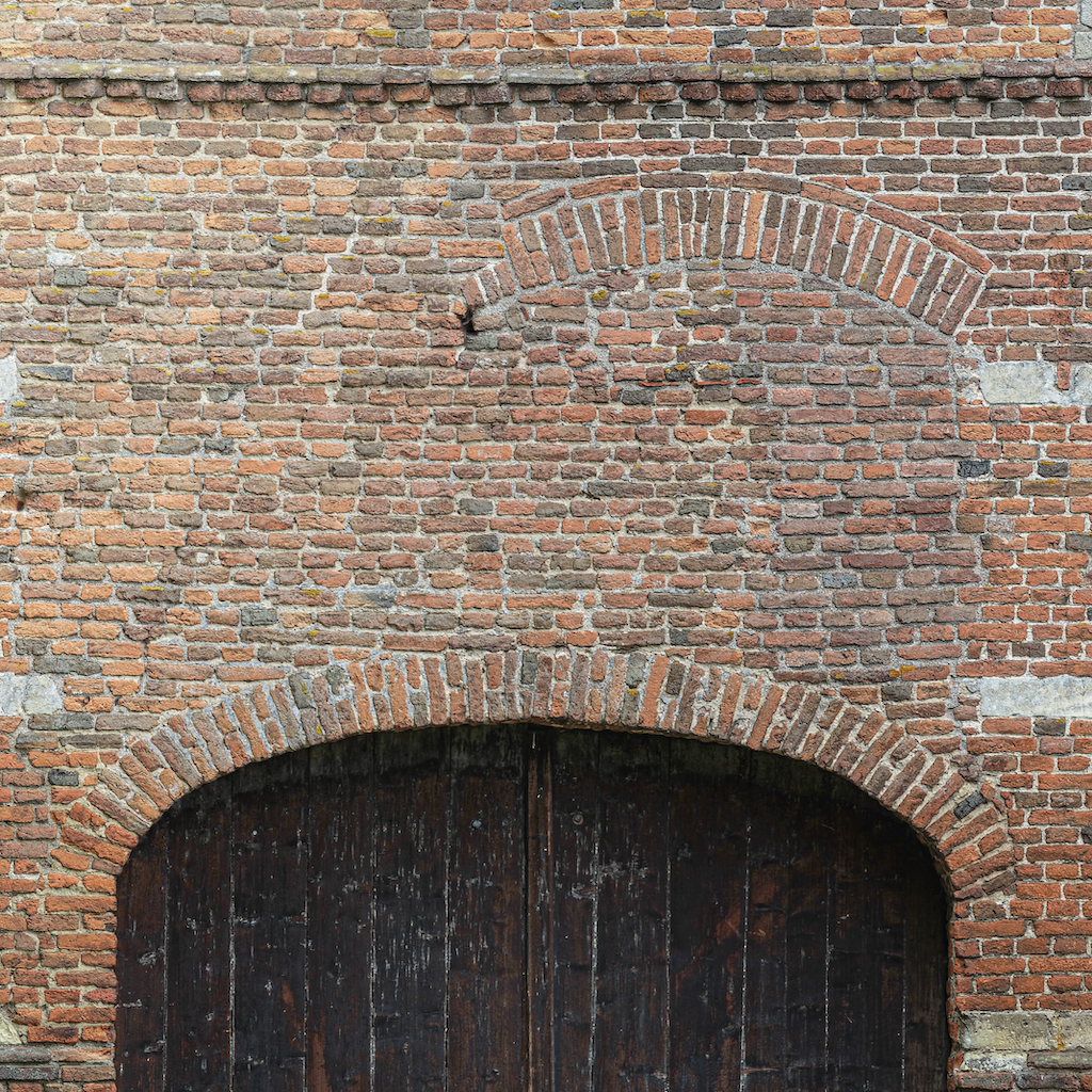
A perfectly scaled Orthomosaic Representation of your facade, ideal to inspect small details, or in preparation for a restoration project.
FacadesPicture-Perfect Facade Reconstruction
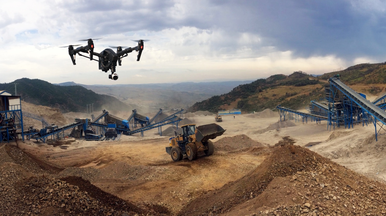
Facade inspections need to be performed very often. However, some areas are very difficult or impossible to reach by traditional means. With a drone we can reach anything and everything, and we can provide an image that can be overlaid with a 2D engineering plan.
Process
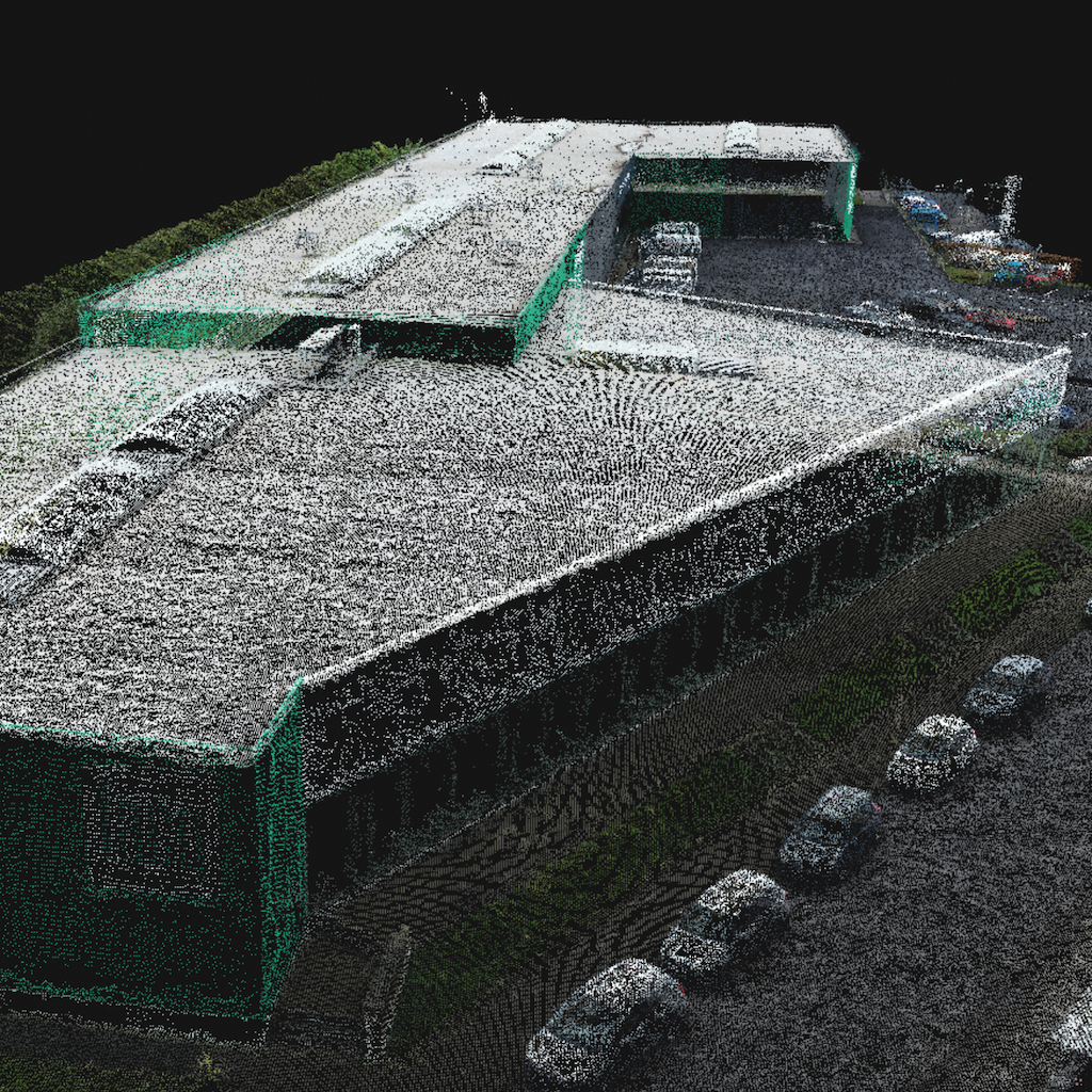
Instead of building a scaffolding, or having people descend along your facade hanging in a harness, we simply send a drone operator to the location. We then take accurate pictures of the facade in a specifically designed pattern. Our photogrammetric experts then process these pictures. The results of this process are an accurate point cloud and an accurate Orthomosaic.
Deliverables
Based on the point cloud and pictures, our engineers will project your facade onto a 2D plane. The facade is represented in a perfectly accurate scale.
The orthomosaic of the facade allows you to inspect all the details of the facade, and can be used in engineering plans, since all dimensions and scales are accurate up to 1cm. As such any inspection, restoration, or architectural process can be easily performed.
Analyze
Inspect your Facades in Style
Use the drone to reach every corner of your facade
Milimiter resolution
Accurately see the obstacles on the facade with high-resolution images.
Accurate
All elements are modeled in the digital twin to a very high degree of accuracy. This way it can be used as the starting point for high precision design.
Complete Image of your Facade
Our drone gives you the full area of the facade, without any details or corners missing.
Safe
No more scaffolding, no more climbing walls and putting people in danger
Perfectly Scaled
Our Orthomosaic can be imported into your CAD software, and is perfectly scaled
Fast
Less than an hour from start to finish of the flight. Goodbye scaffolding!
Deliverables
A standardized set of products ready to integrate into your existing workflow.
Ortho Facade
Your facade, perfectly detailed and scaled
Point Cloud
The area of interest is modeled by a cloud of points in space, each with its own color and coordinates.
How it works
Our global pilot community and central team are ready to help you obtain the drone data for your project
Standardized process
Request your quote
- Upload the area to be mapped to the Inflights Platform or select an area on the map.
Get an instant price
- Our algorithms will generate the best price for you based on our pricing agreements with our pilot community.
Sit back and relax
- We ensure that all legal requirements are met. We keep you updated with all the critical steps in the process and inform you when the final deliverables are ready.
Download or View your results online
- View your deliverables online or use our ready-to-use files on your own software to start designing your site.


