Obtain drone dataanytime, anywhere
Our global pilot community is ready to fly for you.
All drone types and sensors are available.
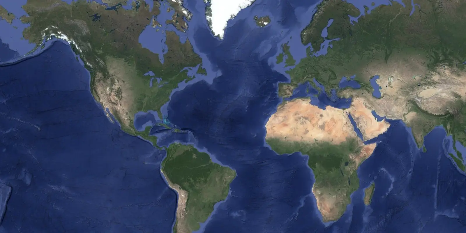
Where can you fly?
Inflights offers drone surveys at a global level. Over the years we have been building a transnational Pilot Community that allows us to call ourselves a global company.
Automated price agreements
One of elements that makes Inflights unique, is that we try to avoid negotiating the prices for each flight. We put a lot of effort into making our web app able to calculate the cost based on:
- the cost and time needed to use the right drone and sensor,
- the cost of obtaining permits,
- and the cost of traveling from the pilot's base to the area of interest.
All this is calculated from a set of coordinates. The auto-pricing algorithm makes us the only ones in the world that do not repeatedly negotiate prices for each flight. This is because we get the price right the first time, and every time.
Why do we use automated price agreements?
We reduce the effort to negotiate the price for both clients and pilots by allocating the jobs and price in a very efficient way. For us, managing the flight in an effective way is very important. Imagine spending half a day sourcing a pilot and negotiating the price for a small flight. Inflights would lose money because of the opportunity cost. More importantly, the drone pilot would lose money whilst they spend time negotiating prices instead of flying their drone. Our algorithm gives time savings which allow us to give better prices to our pilots and lower prices to our clients.
What if my project's location is not covered on the map?
When we have an assignment in a location where we haven't flown before, we either find a pilot near the location, or, if it is truly a remote area, we ensure a pilot can travel there. Our pilot operations team are able to do this within a week.
If there are drone pilots and internet, we can operate there.
Available drone sensors
The largest pilot community at global level allowing you to access all types of drones and sensors.
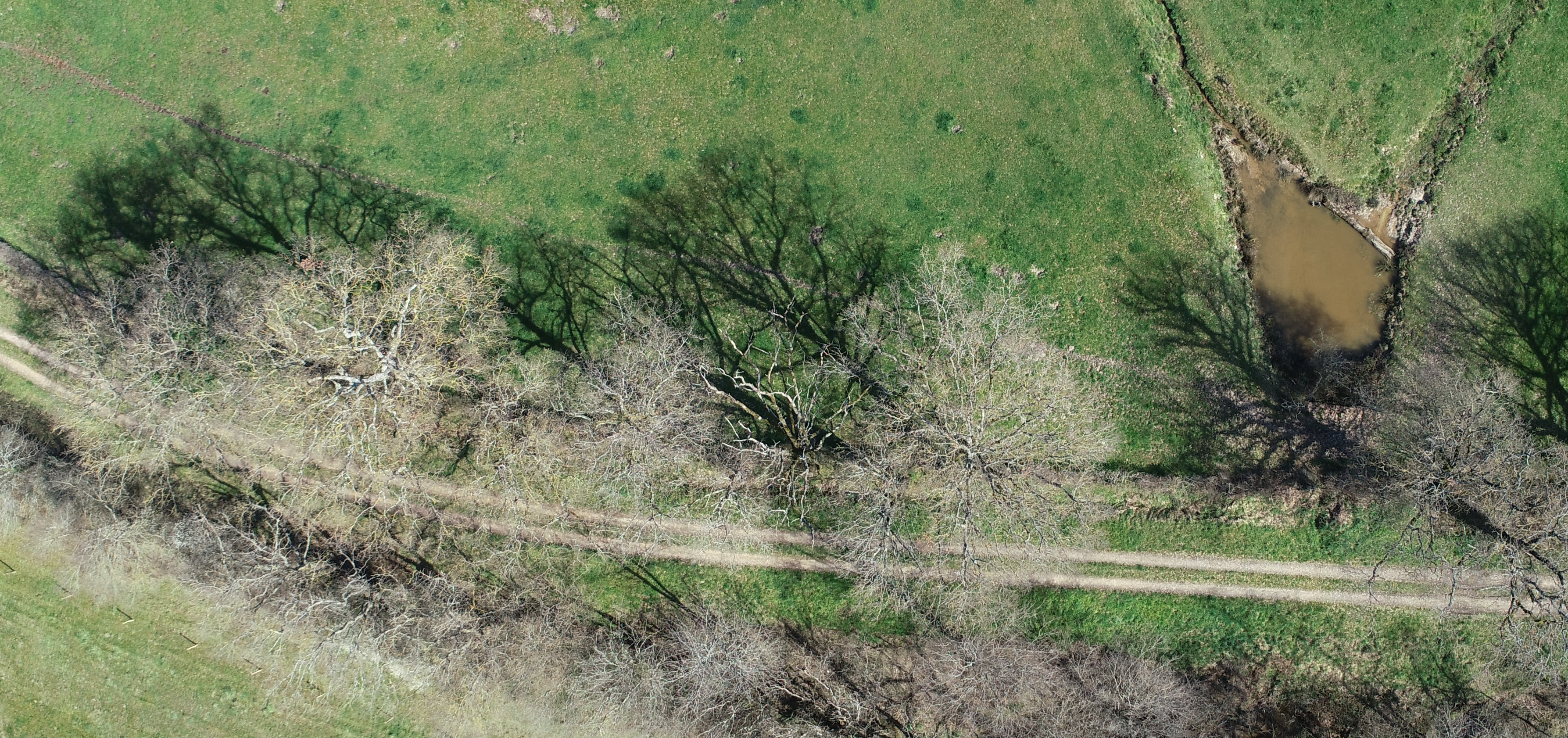
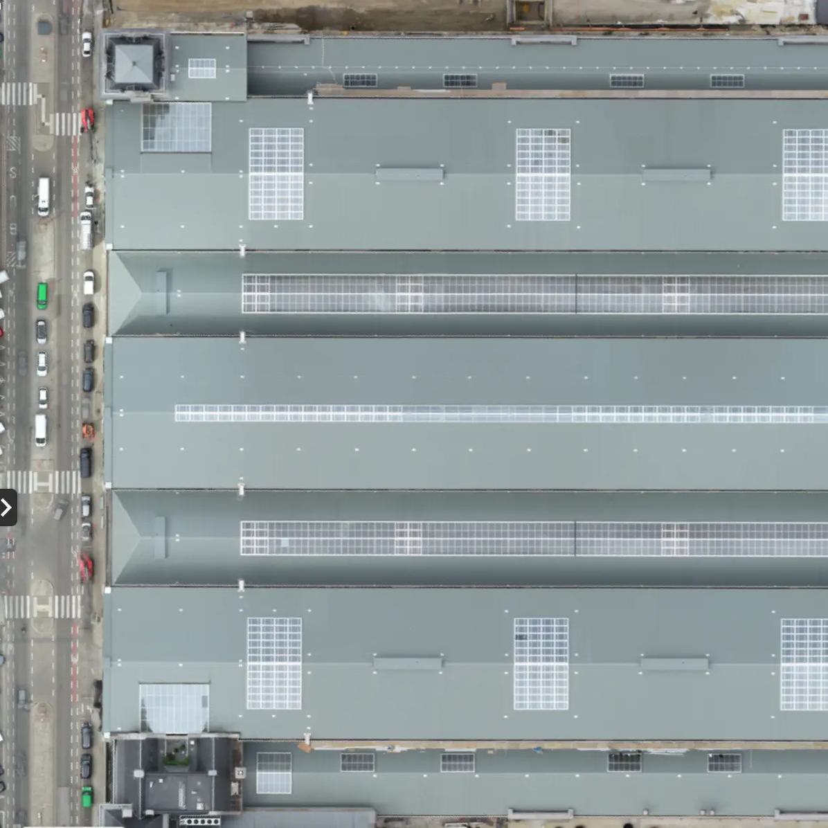
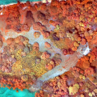
Visual Pictures
Pictures where each pixel contains the Red, Green and Blue (RGB) values. This is equivalent to a normal picture.
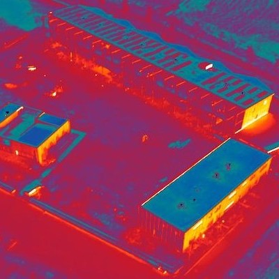
Thermal
Pictures where each pixel represents the temperature of the object to be measured.
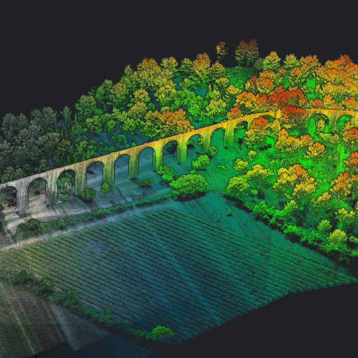
LIDAR
Measures objects using advanced radar technology.
Multispectral
Pictures where each pixel contains the value of selected frequencies of the light spectrum.
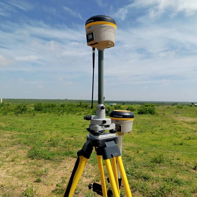
Ground Control Points
GPS Receivers used to measure the coordinates of Ground Control Points (GCPs).
How it works
Our global pilot community and central team are ready to help you obtain the drone data for your project
Standardized process
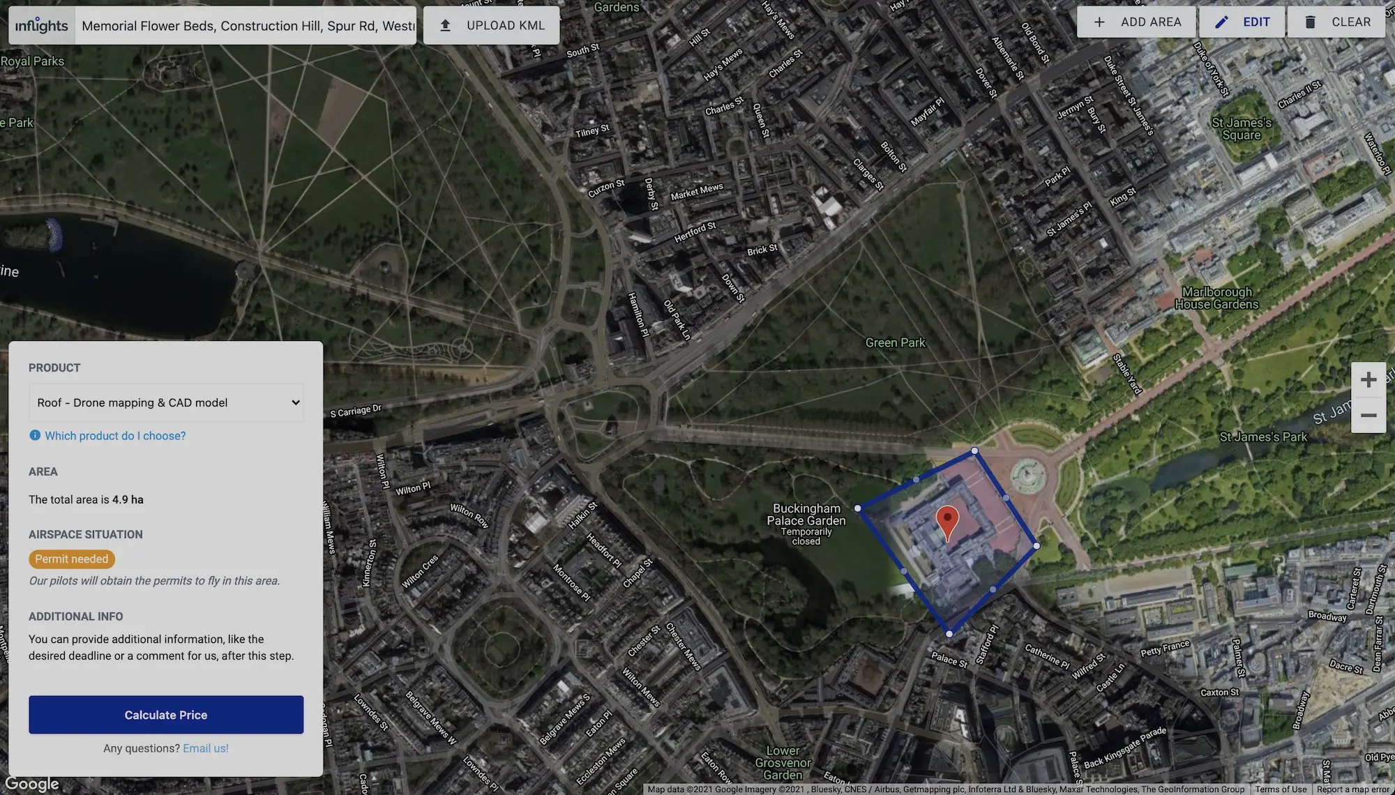
Request your quote
- Upload the area to be mapped to the Inflights Platform or select an area on the map.
Get an instant price
- Our algorithms will generate the best price for you based on our pricing agreements with our pilot community.
Sit back and relax
- We ensure that all legal requirements are met. We keep you updated with all the critical steps in the process and inform you when the final deliverables are ready.
Download or View your results online
- View your deliverables online or use our ready-to-use files on your own software to start designing your site.