Create drone insights
with
Create drone insights with
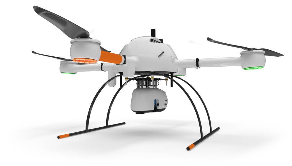
Instantly task drone pilots in 130 countries to fly and turn drone data into valuable insights
Insights


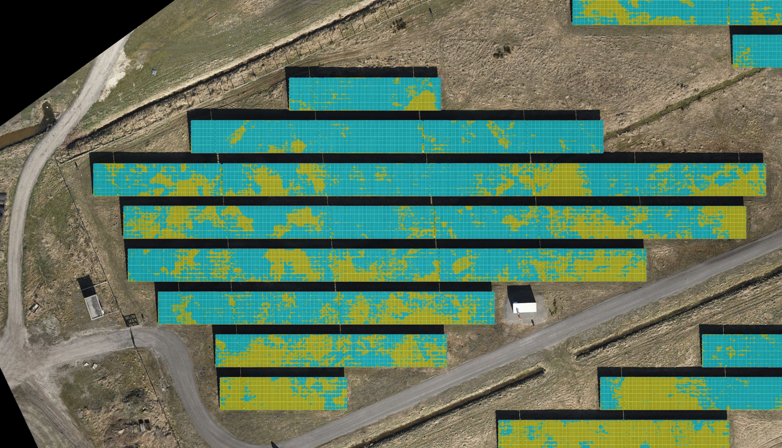

Drone pilots network
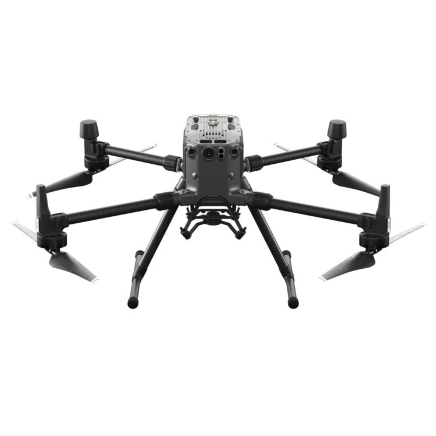
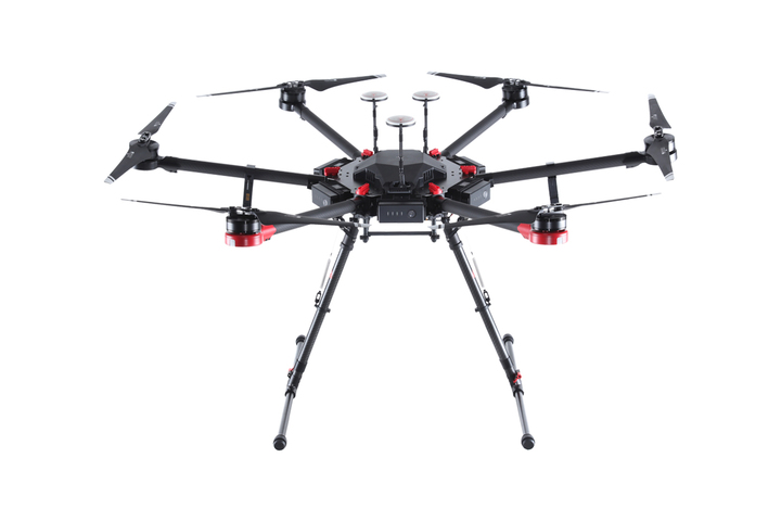
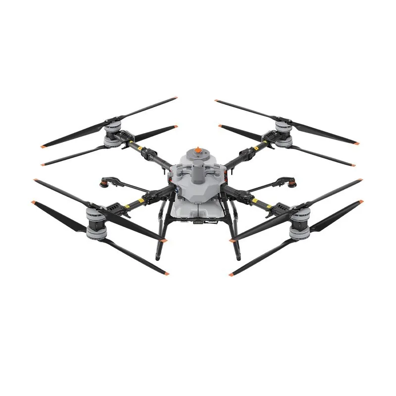
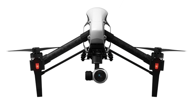
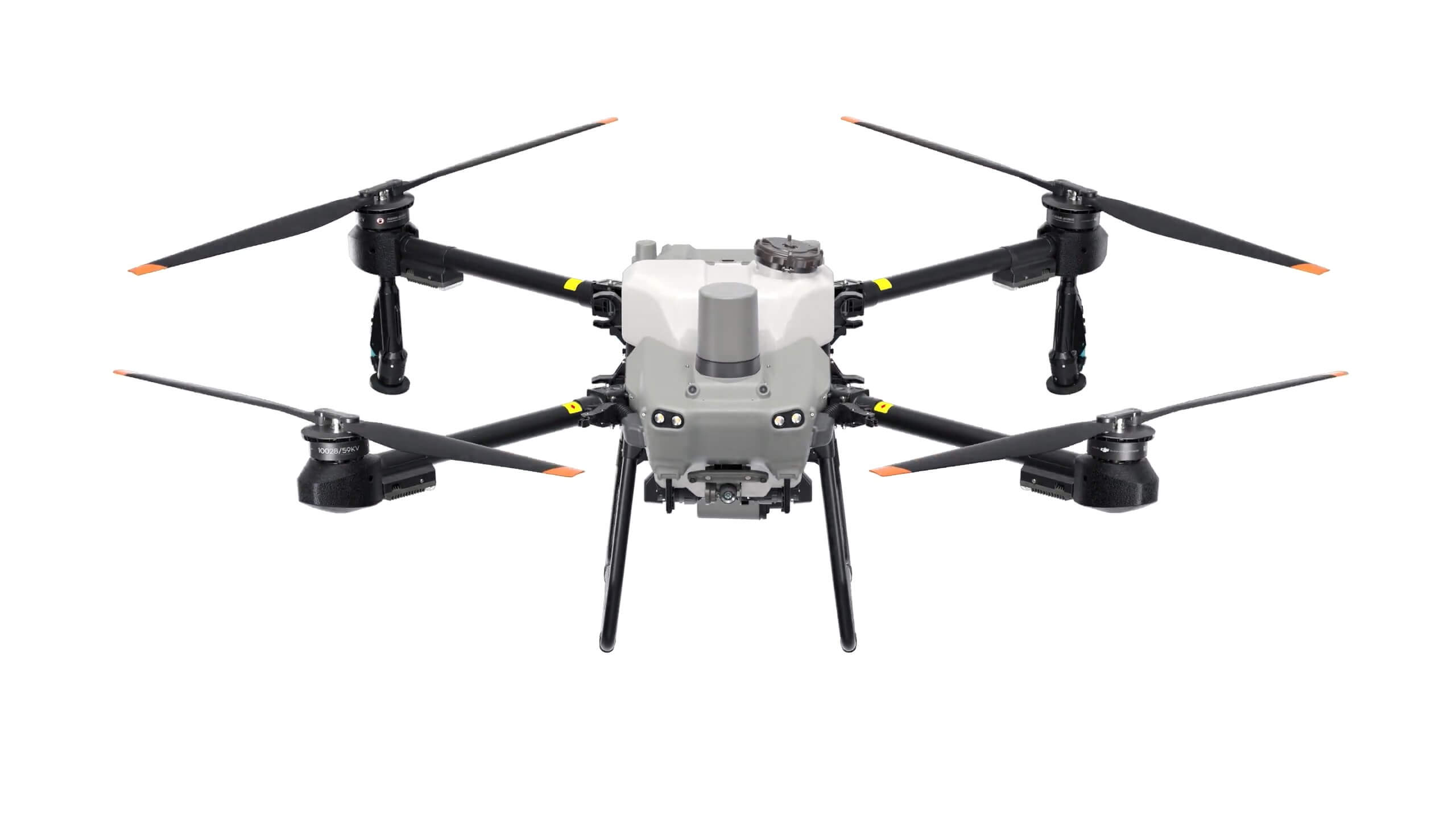
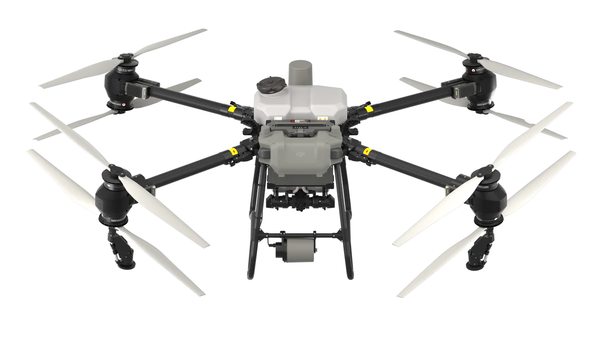
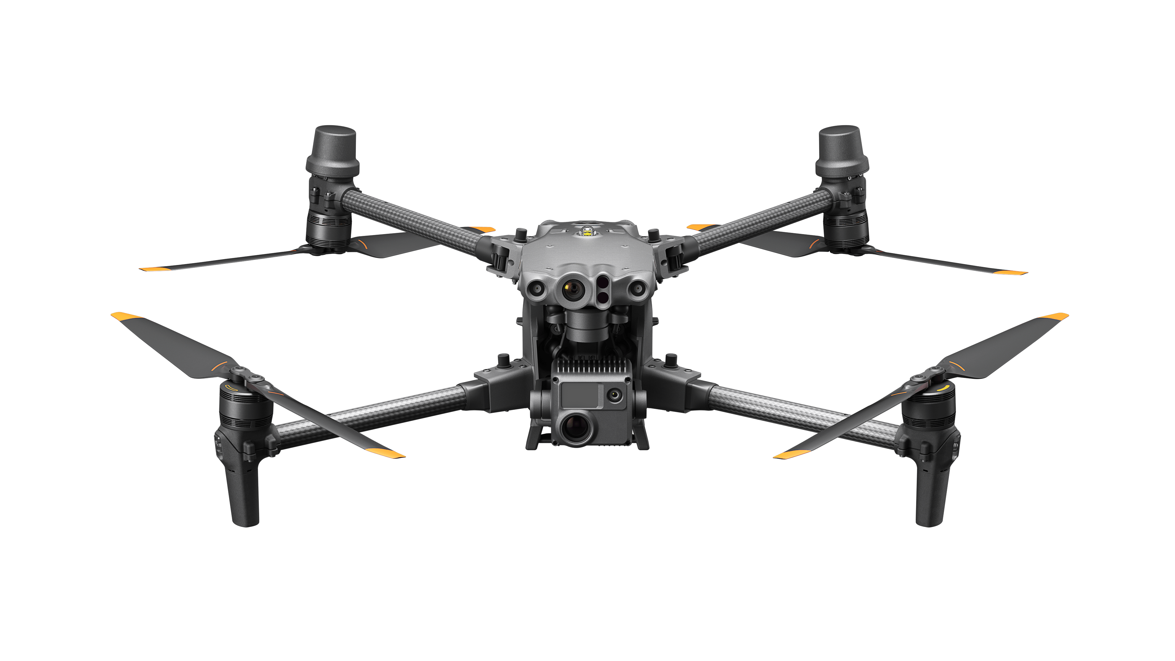
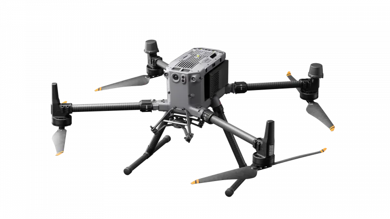
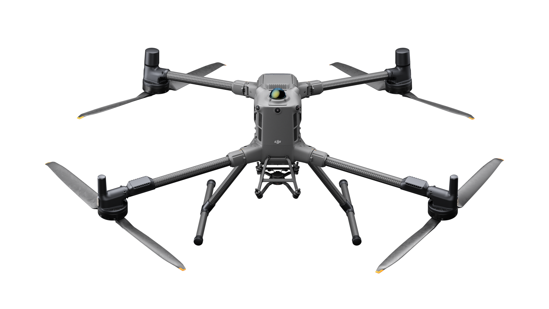
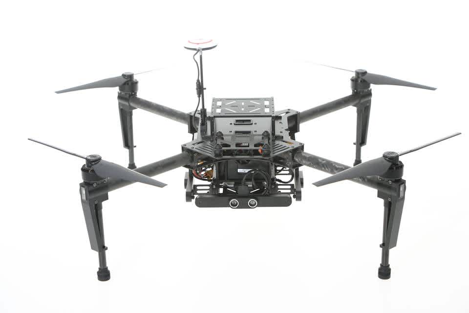
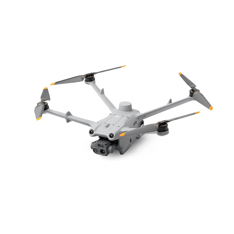
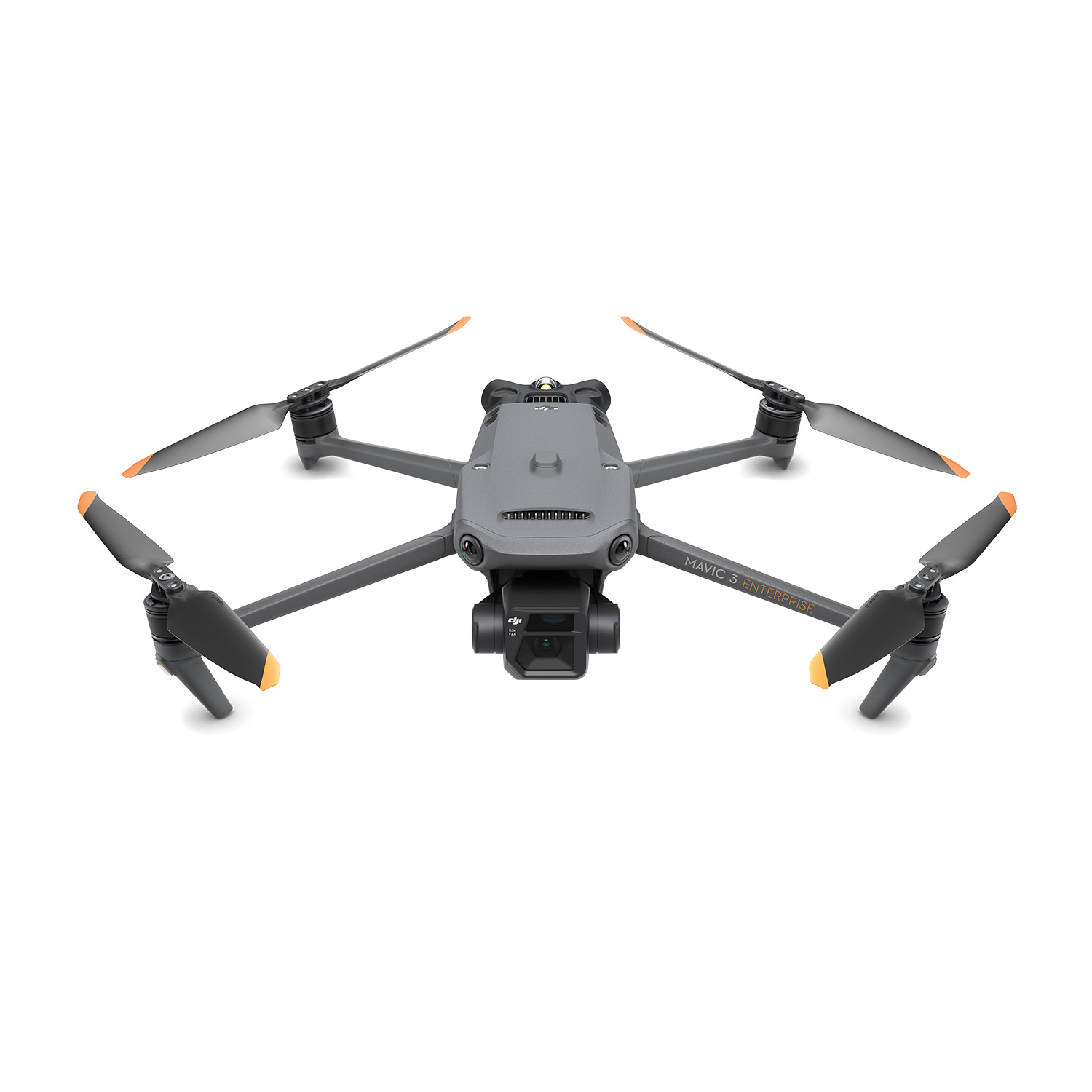
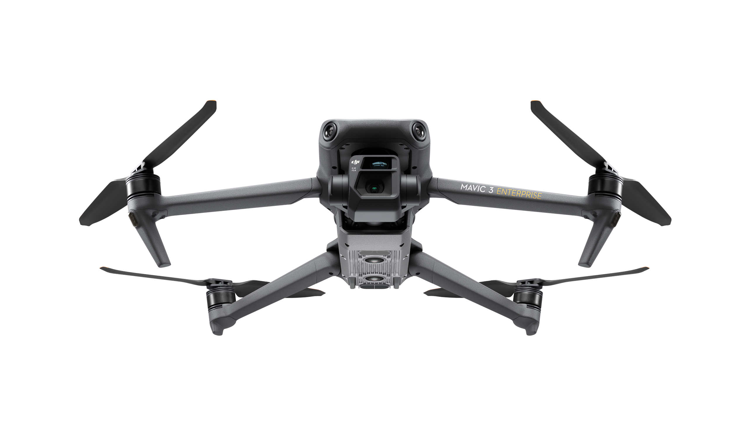
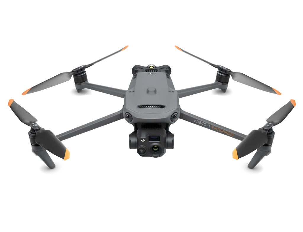
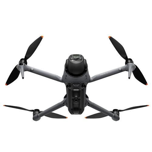
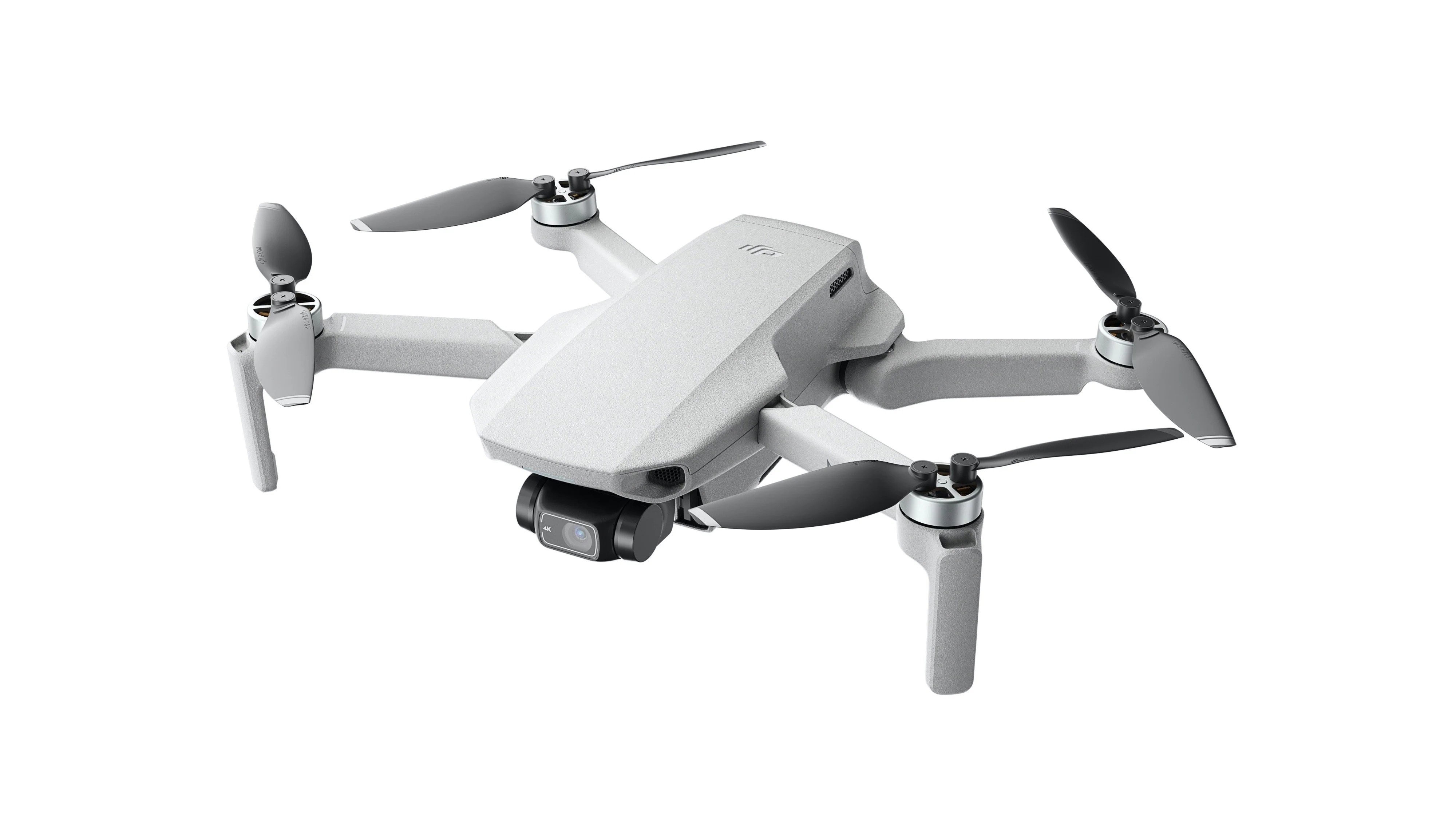
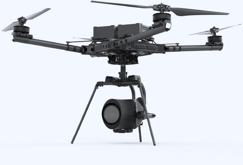
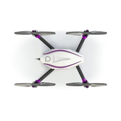
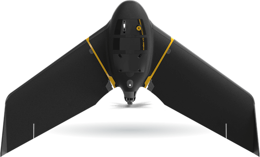
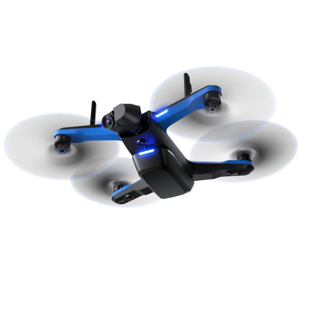
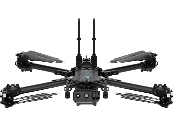
Drones
Drone + Payload
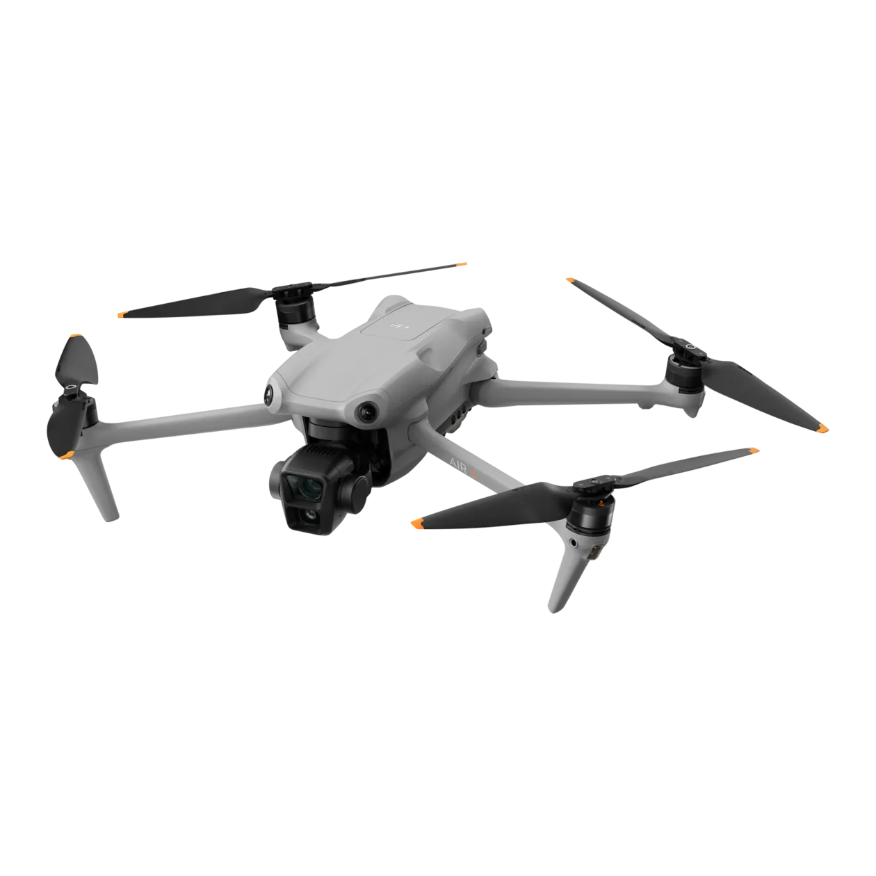
DJI Air 3 or Air 3s
Resolution
48 MP
GNSS
GPS
Sensor
RGB
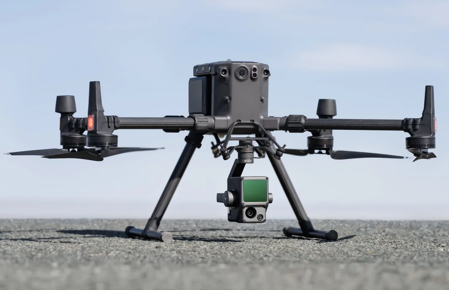
Drone + Payload
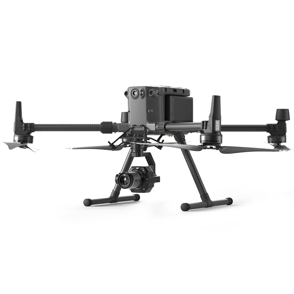
DJI M300/M350 + Zenmuse P1
Resolution
45 MP
GNSS
RTK
Sensor
RGB
Drone
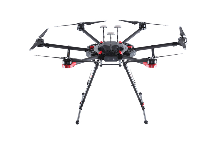
DJI Matrice 210 RTK
GNSS
RTK
Drone
DJI Matrice 300
GNSS
RTK
Drone
DJI Matrice 600 (with RTK)
GNSS
GPS
Drone
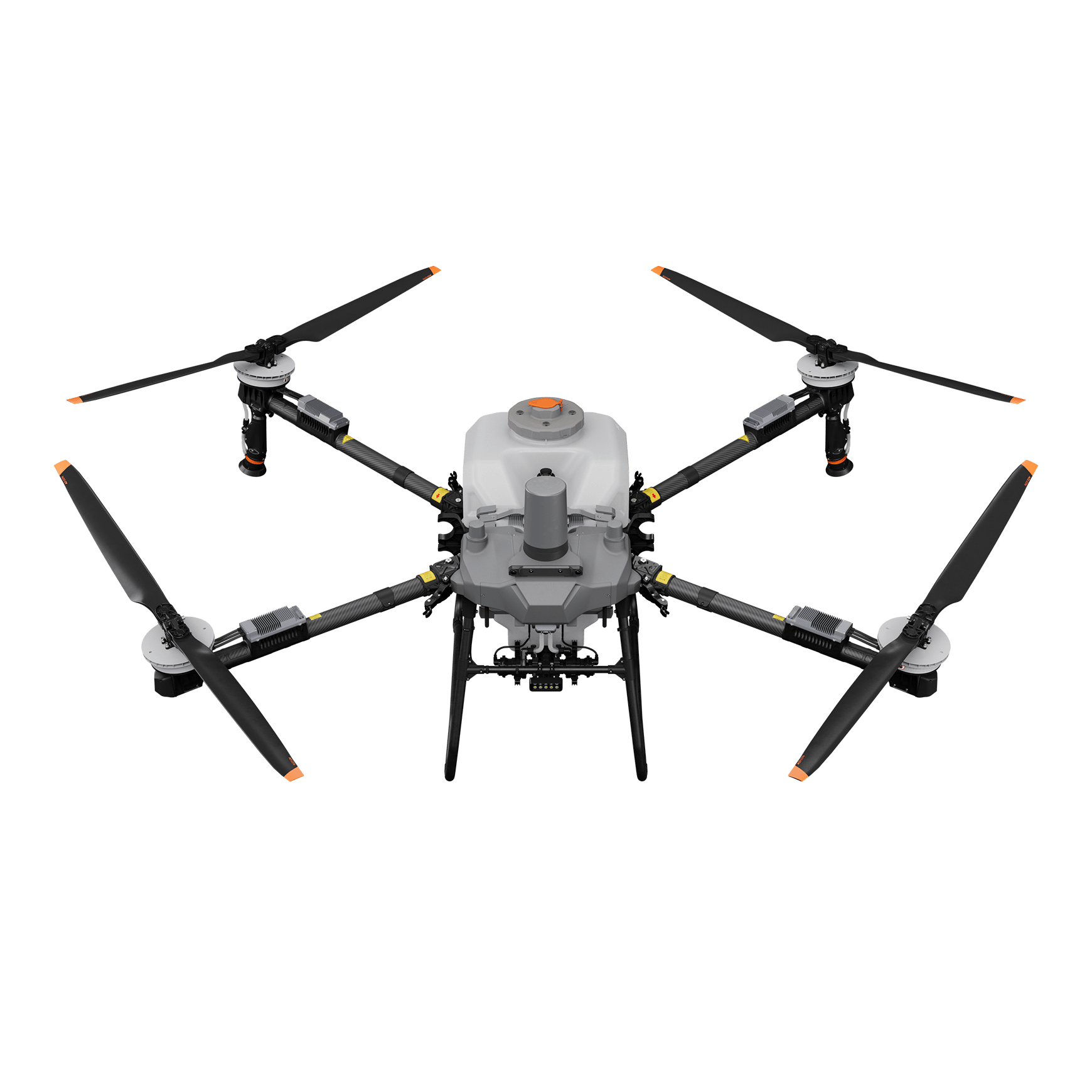
DJI Agras T100
GNSS
RTK
Drone
DJI Inspire Series
GNSS
GPS
Drone + Payload
DJI M30T
Resolution
20 MP
GNSS
RTK
Sensor
RGB
Thermal
Drone + Payload

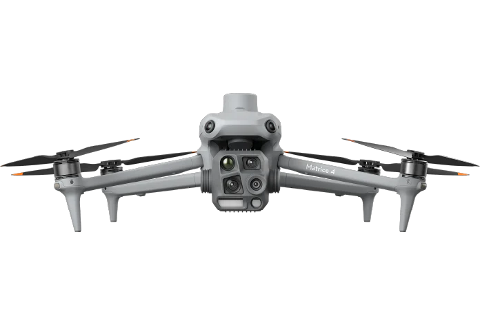
DJI Matrice 4T
Resolution
48 MP
GNSS
RTK
Sensor
RGB
Thermal
Drone + Payload
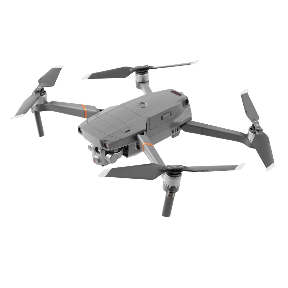
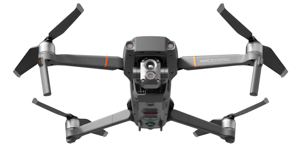
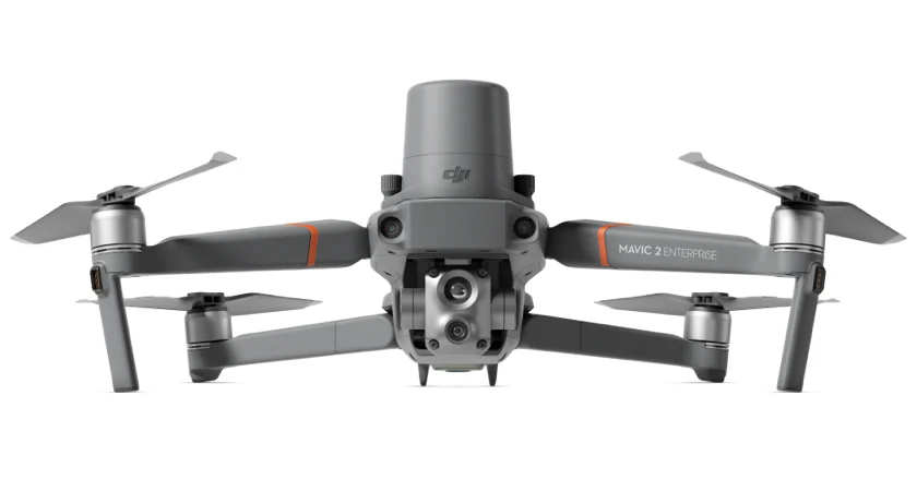
DJI Mavic 2 Enterprise Dual
Resolution
12 MP
GNSS
GPS
Sensor
RGB
Thermal
Drone + Payload
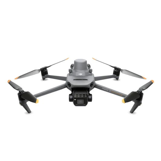
DJI Mavic 3 Multispectral RTK
Resolution
20 MP
GNSS
RTK
Sensor
RGB
Multispectral
Drone
DJI Agras 1S
GNSS
GPS
Sensor
RGB
Drone
DJI Agras T25
GNSS
RTK
Drone + Payload

DJI Mavic 3 Enterprise RTK
Resolution
20 MP
GNSS
RTK
Sensor
RGB
Drone + Payload

DJI Mavic 3 Thermal RTK
Resolution
1 MP
GNSS
RTK
Sensor
RGB
Thermal
Drone
DJI Agras T50
GNSS
RTK
Drone + Payload

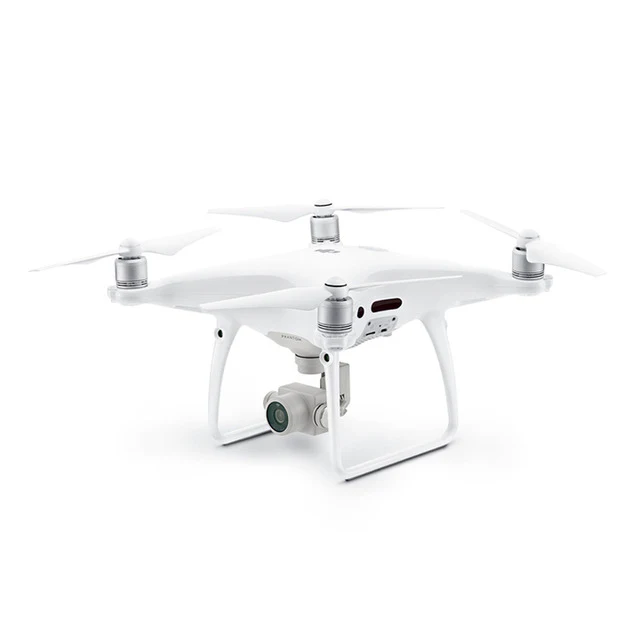
DJI Phantom 4 RTK
Resolution
20 MP
GNSS
RTK
Sensor
RGB
Drone
3DR Solo
GNSS
GPS
Drone
AceCore NEO
GNSS
GPS
Drone
AceCore ZOE
GNSS
GPS
Drone + Payload
AeroVironment Quantix Mapper Drone
Resolution
1 MP
GNSS
PPK
Sensor
RGB
Drone + Payload
Atmos Marlyn Cobalt
Resolution
42 MP
GNSS
PPK
Sensor
RGB
Drone + Payload

Autel EVO II Enterprice
Resolution
1 MP
GNSS
GPS
Sensor
RGB
Drone + Payload
Autel EVO II Enterprise 640t Thermal
Resolution
1 MP
GNSS
GPS
Sensor
RGB
Thermal
Drone + Payload

Autel Evo II Pro
Resolution
40 MP
GNSS
GPS
Sensor
RGB
Drone + Payload

Autel EVO II RTK Series
Resolution
48 MP
GNSS
PPK
Sensor
RGB
Drone + Payload
Autel Evo Max 4T/.N
Resolution
1 MP
GNSS
GPS
Sensor
RGB
Thermal
Drone + Payload
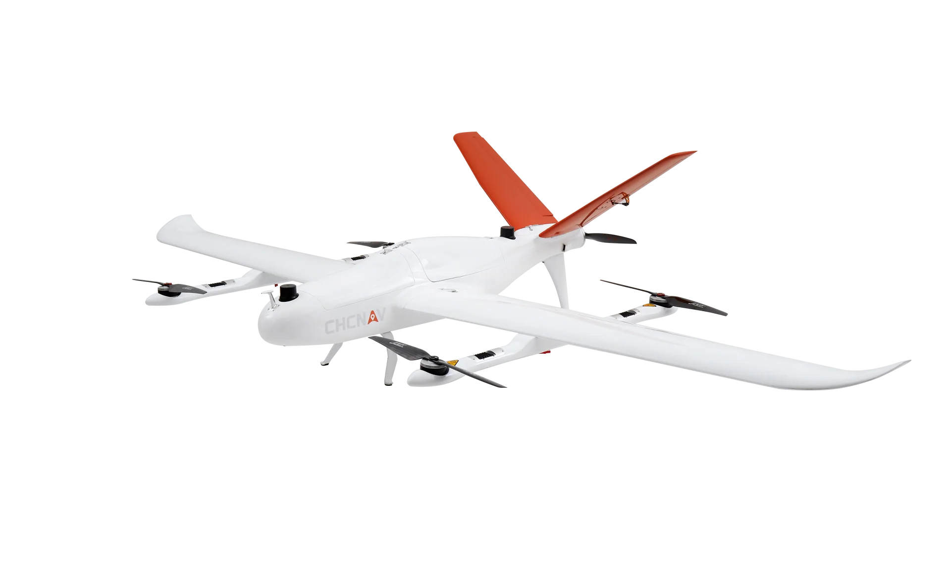
CHCNAV P330 Pro
Resolution
1 MP
GNSS
PPK
Sensor
RGB
Drone + Payload
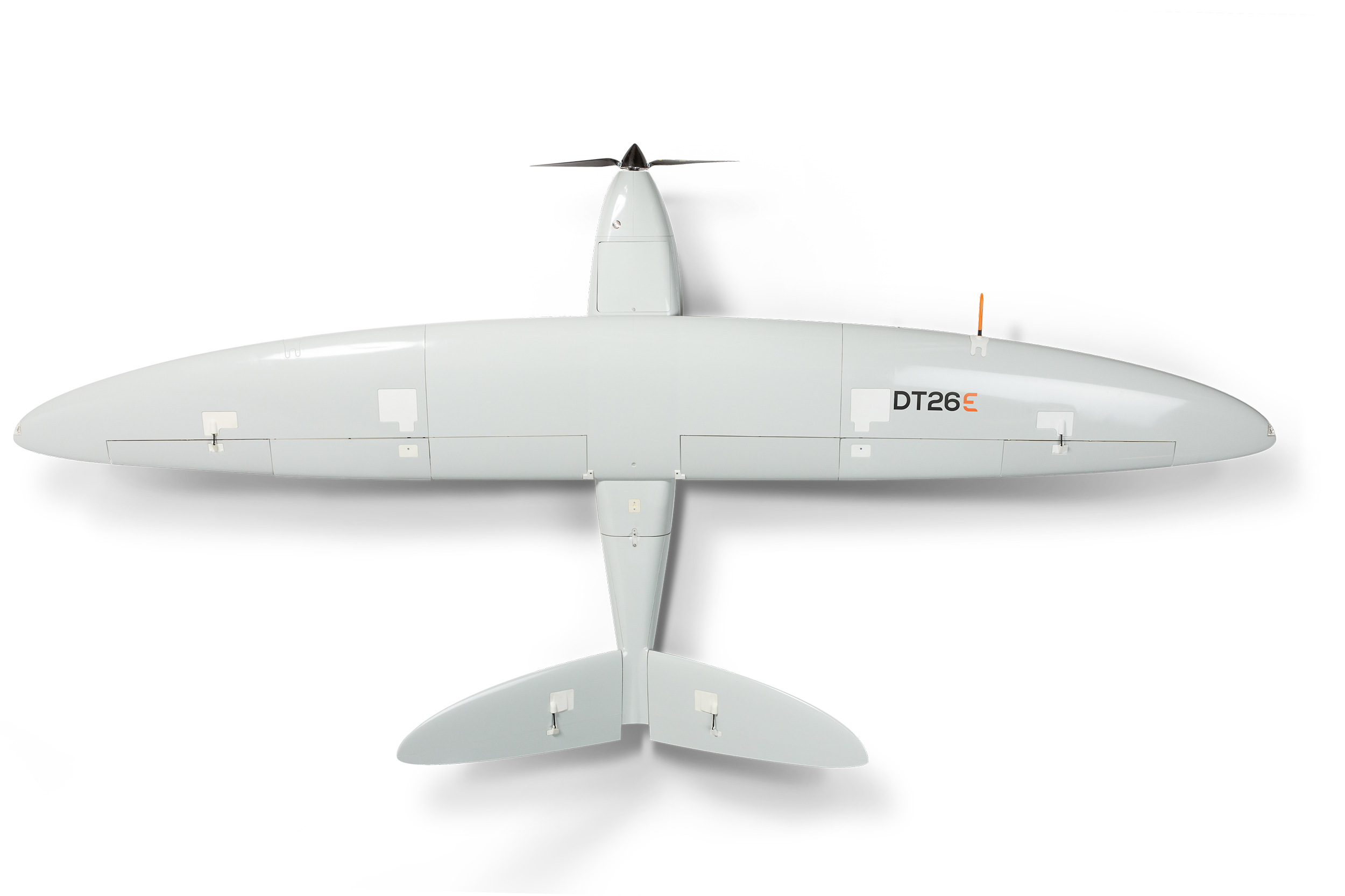
Delair DT26
Resolution
1 MP
GNSS
PPK
Sensor
RGB
Drone + Payload
Delair UX11
Resolution
20 MP
GNSS
PPK
Sensor
RGB
Drone + Payload
Delair UX11-AG (Micasense Rededge)
Resolution
1 MP
GNSS
PPK
Sensor
RGB
Multispectral
Drone
DJI Agras T10
GNSS
RTK
Drone
DJI Agras T16
GNSS
GPS
Sensor
RGB
Drone
DJI Agras T30
GNSS
RTK
Drone
DJI Agras T40
GNSS
RTK
Drone
DJI Agras T60
GNSS
RTK
Drone
DJI Agras T70
GNSS
RTK
Drone + Payload
DJI Air 2
Resolution
48 MP
GNSS
GPS
Sensor
RGB
Drone + Payload

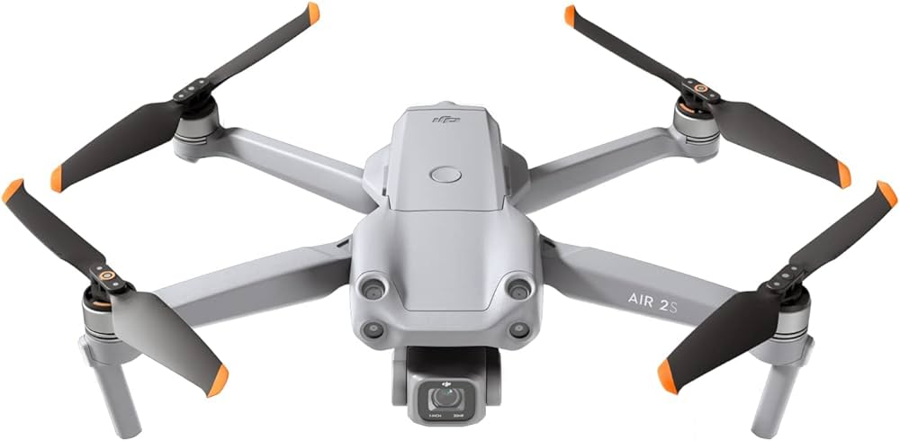
DJI Air 2s
Resolution
48 MP
GNSS
GPS
Sensor
RGB
Drone + Payload
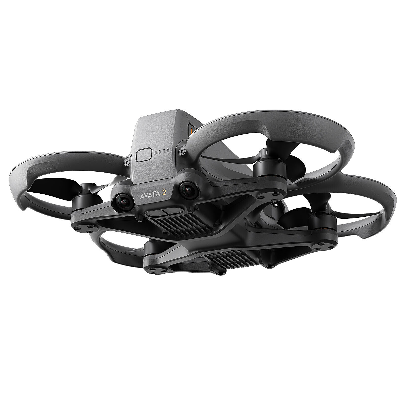
DJI Avata
Resolution
1 MP
GNSS
GPS
Sensor
RGB
Drone + Payload
DJI Dock 2
Resolution
20 MP
GNSS
PPK
Sensor
RGB
Thermal
Drone + Payload
DJI Dock 3
Resolution
20 MP
GNSS
PPK
Sensor
RGB
Thermal
Drone + Payload
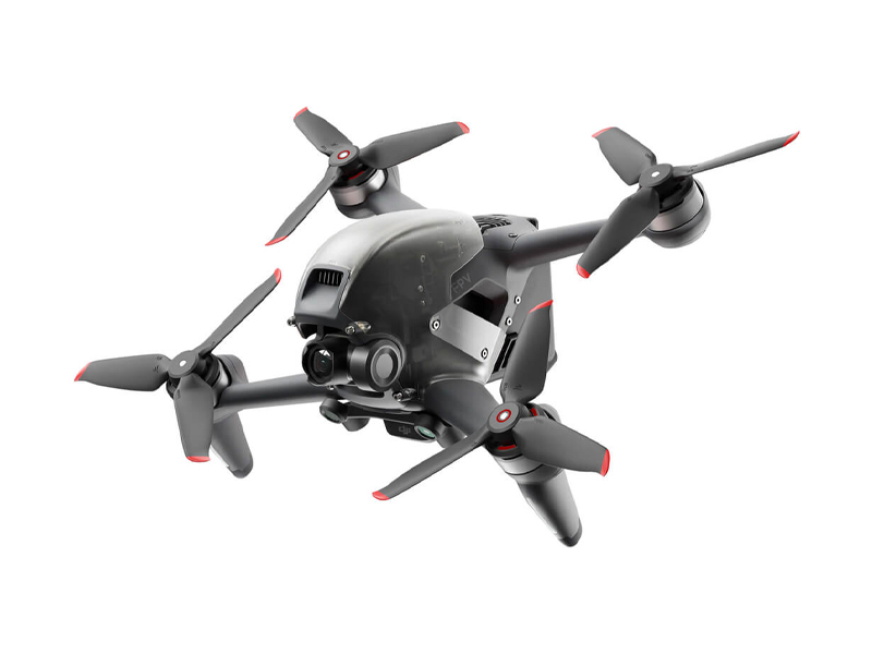
DJI FPV
Resolution
1 MP
GNSS
GPS
Sensor
RGB
Drone

DJI Inspire 1
GNSS
GPS
Drone + Payload
DJI M30
Resolution
1 MP
GNSS
RTK
Sensor
RGB
Thermal
Drone + Payload
DJI M300 + L1
Resolution
20 MP
GNSS
RTK
Sensor
LiDAR
Drone + Payload
DJI M300/M350 + L2
Resolution
20 MP
GNSS
RTK
Sensor
RGB
LiDAR
Drone + Payload
DJI M300 RTK Gremsy Sony A7RIV
Resolution
61 MP
GNSS
RTK
Sensor
RGB
Drone
DJI M350
GNSS
RTK
Drone
DJI M400
GNSS
RTK
Drone
DJI Matrice 100
GNSS
GPS
Drone

DJI Matrice 200/210 (non-RTK)
GNSS
GPS
Drone + Payload
DJI Matrice 3 DT
Resolution
48 MP
GNSS
PPK
Sensor
RGB
Thermal
Drone + Payload
DJI Matrice 4E
Resolution
20 MP
GNSS
RTK
Sensor
RGB
Drone
DJI Matrice 600 (Pro)
GNSS
GPS
Drone + Payload
DJI Mavic
Resolution
1 MP
GNSS
GPS
Sensor
RGB
Drone + Payload
DJI Mavic 2 Enterprise
Resolution
12 MP
GNSS
GPS
Sensor
RGB
Drone + Payload

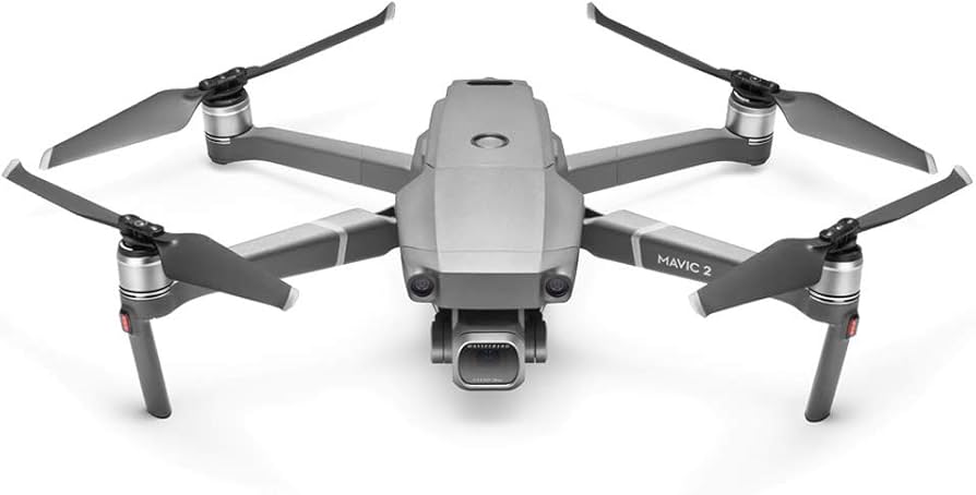
DJI Mavic 2 Pro
Resolution
20 MP
GNSS
GPS
Sensor
RGB
Drone + Payload
DJI Mavic 2 Zoom
Resolution
12 MP
GNSS
GPS
Sensor
RGB
Drone + Payload
DJI Mavic 3
Resolution
20 MP
GNSS
GPS
Sensor
RGB
Drone + Payload
DJI Mavic 3 Pro
Resolution
48 MP
GNSS
GPS
Sensor
RGB
Drone + Payload
DJI Mavic 3T
Resolution
20 MP
GNSS
RTK
Sensor
RGB
Thermal
Drone + Payload
DJI Mavic 4 series
Resolution
20 MP
GNSS
GPS
Sensor
RGB
Drone + Payload
DJI Mavic (custom RTK/PPK receiver)
Resolution
12 MP
GNSS
PPK
Sensor
RGB
Drone + Payload
DJI Mavic Enterprise Advanced (no RTK module)
Resolution
1 MP
GNSS
GPS
Sensor
RGB
Thermal
Drone + Payload
DJI Mavic Enterprise Advanced (with RTK module)
Resolution
1 MP
GNSS
RTK
Sensor
RGB
Thermal
Drone + Payload
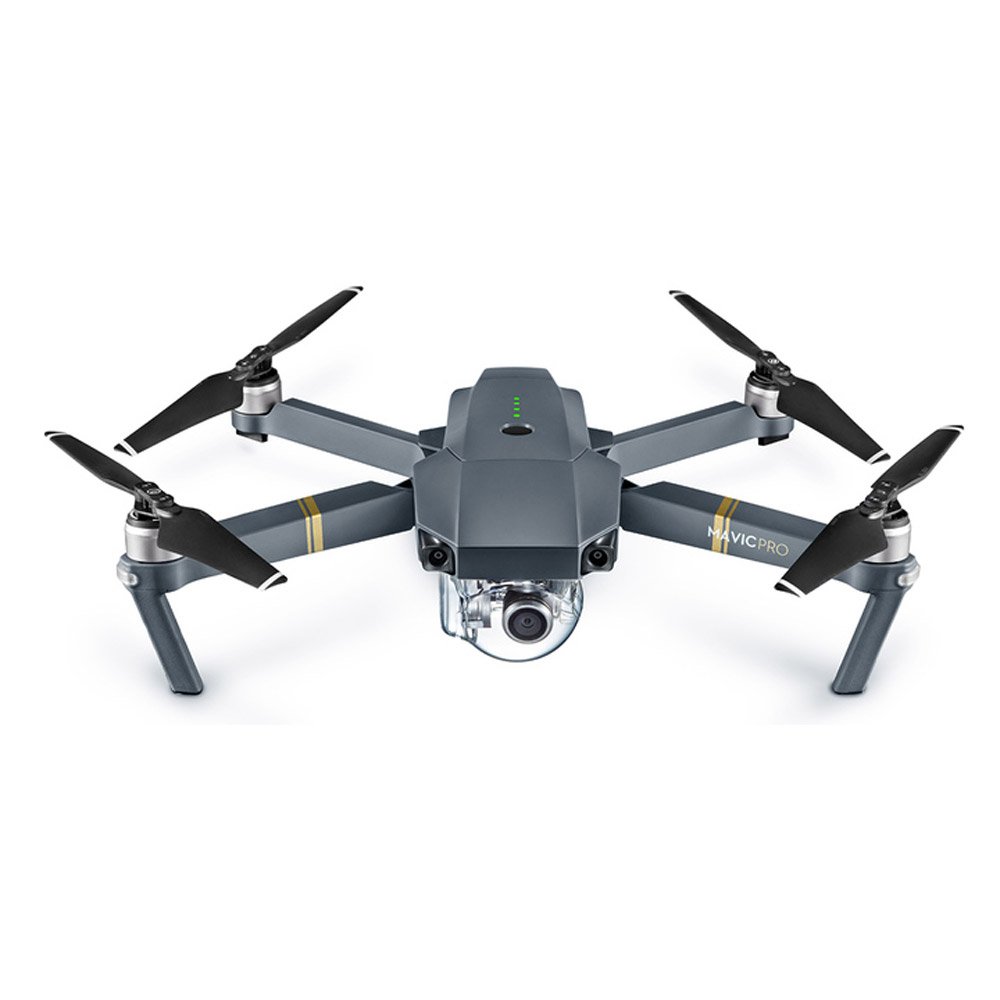
DJI Mavic Pro
Resolution
1 MP
GNSS
GPS
Sensor
RGB
Drone + Payload
DJI Mini 2
Resolution
1 MP
GNSS
GPS
Sensor
RGB
Drone + Payload
DJI Mini 3 PRO
Resolution
48 MP
GNSS
GPS
Sensor
RGB
Drone + Payload
DJI Mini 4 or newer
Resolution
20 MP
GNSS
GPS
Sensor
RGB
Drone + Payload

DJI Phantom 4 Multispectral
Resolution
1 MP
GNSS
RTK
Sensor
Multispectral
Drone + Payload
DJI Phantom 4 Pro/Advanced
Resolution
20 MP
GNSS
GPS
Sensor
RGB
Drone + Payload
DJI Phantom 4 (standard)
Resolution
20 MP
GNSS
GPS
Sensor
RGB
Drone + Payload
DJI Spark
Resolution
1 MP
GNSS
GPS
Sensor
RGB
Drone
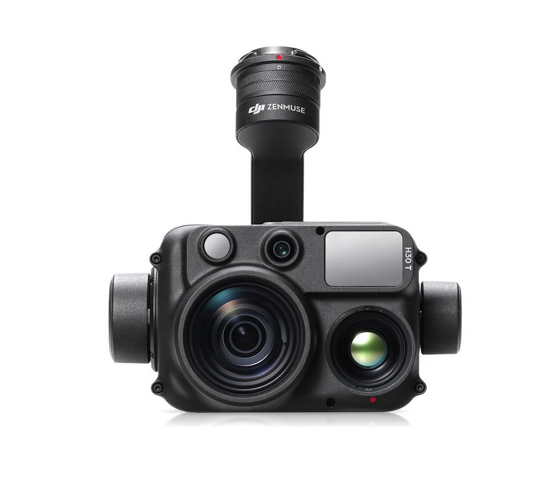
DJI Zenmuse H30T
GNSS
RTK
Sensor
RGB
Thermal
Drone + Payload
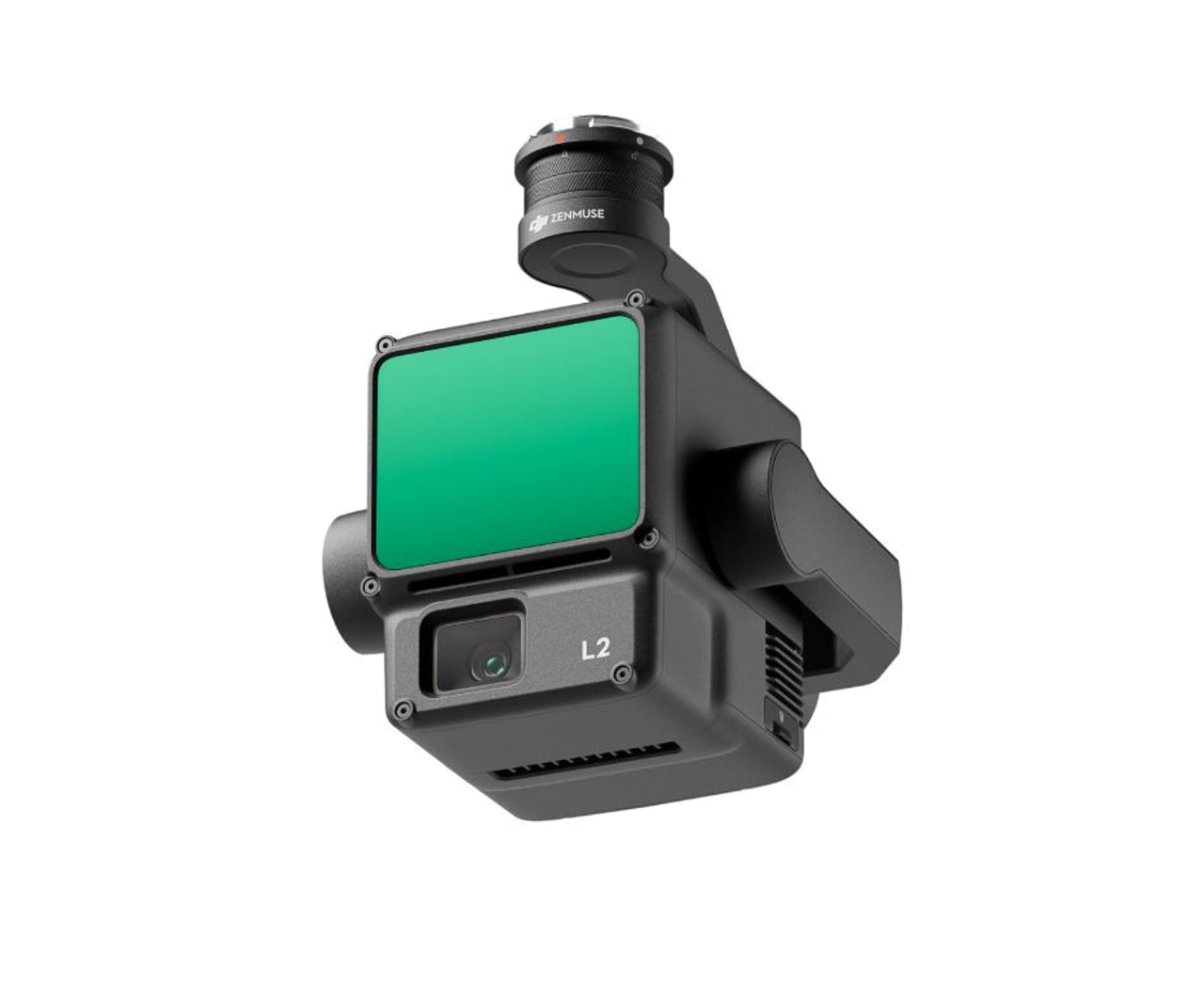
DJI Zenmuse L2
Resolution
20 MP
GNSS
RTK
Sensor
RGB
LiDAR
Drone
DYI (Custom) (A self-build drone)
GNSS
GPS
Drone
FireFLY6 PRO
GNSS
GPS
Drone
Firefly Alta X
GNSS
PPK
Drone + Payload
Flyability Elios
Resolution
1 MP
GNSS
GPS
Sensor
RGB
Drone + Payload
Flyability Elios 2
Resolution
1 MP
GNSS
GPS
Sensor
RGB
Drone + Payload
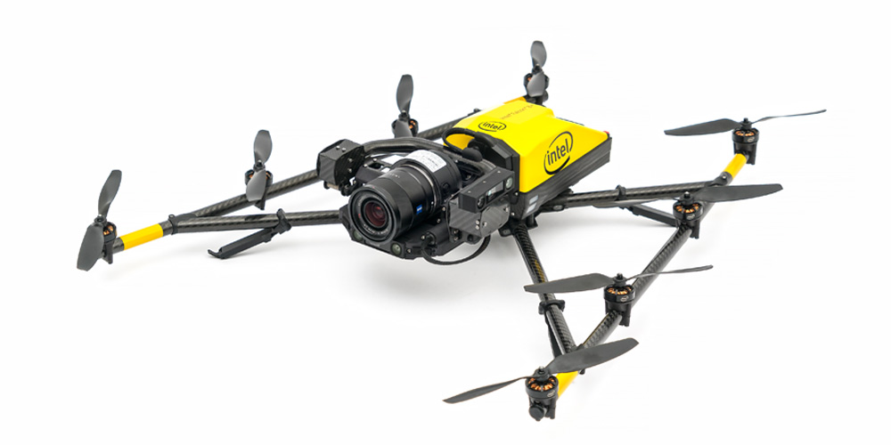
Intel Falcon 8
Resolution
36 MP
GNSS
GPS
Sensor
RGB
Drone + Payload

Intel Falcon 8+
Resolution
36 MP
GNSS
GPS
Sensor
RGB
Drone
Joyance JT 16
Resolution
1 MP
GNSS
GPS
Sensor
RGB
Drone + Payload
Leica BLK2Fly
Resolution
1 MP
GNSS
PPK
Sensor
RGB
LiDAR
Drone
LOGXON Porter
Resolution
1 MP
GNSS
GPS
Drone + Payload
Microdrones mdLidar1000HR
Resolution
1 MP
GNSS
PPK
Sensor
RGB
LiDAR
Drone
Mikrokopter HEXA XL
GNSS
PPK
Drone

Mikrokopter OKTO XL
GNSS
PPK
Drone + Payload
NUVEM UAV Batmap I
Resolution
24 MP
GNSS
RTK
Sensor
RGB
Drone + Payload
NUVEM UAV Batmap II
Resolution
24 MP
GNSS
RTK
Sensor
RGB
Drone + Payload
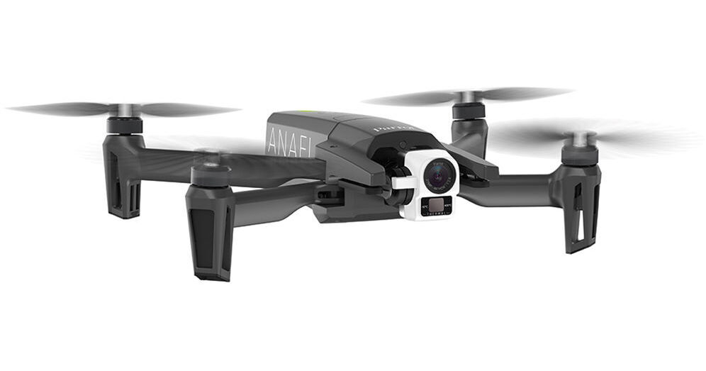
Parrot ANAFI
Resolution
12 MP
GNSS
GPS
Sensor
RGB
Drone + Payload
Parrot ANAFI AI
Resolution
48 MP
GNSS
GPS
Sensor
RGB
Drone + Payload
Parrot ANAFI Thermal (low-resolution sensor)
GNSS
GPS
Sensor
Thermal
Drone + Payload
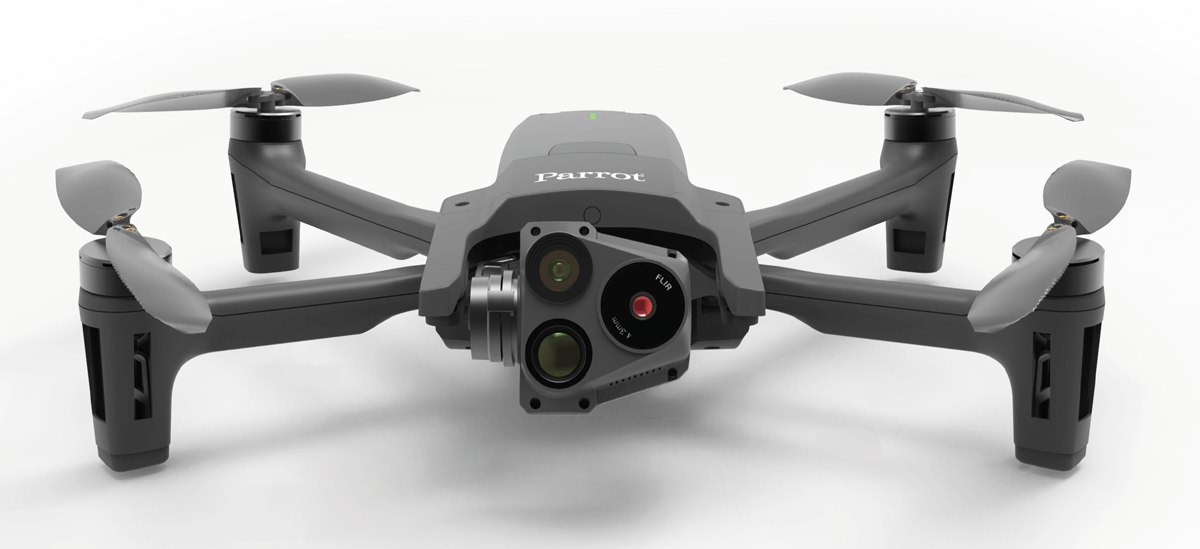
Parrot ANAFI USA
Resolution
1 MP
GNSS
GPS
Sensor
RGB
Thermal
Drone + Payload
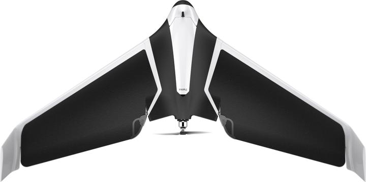
Parrot Disco
Resolution
1 MP
GNSS
GPS
Sensor
RGB
Drone + Payload
Parrot eBee + S.O.D.A. camera (non-RTK/non-PPK)
Resolution
1 MP
GNSS
GPS
Sensor
RGB
Drone
Plane Manned Aircraft
GNSS
PPK
Drone + Payload
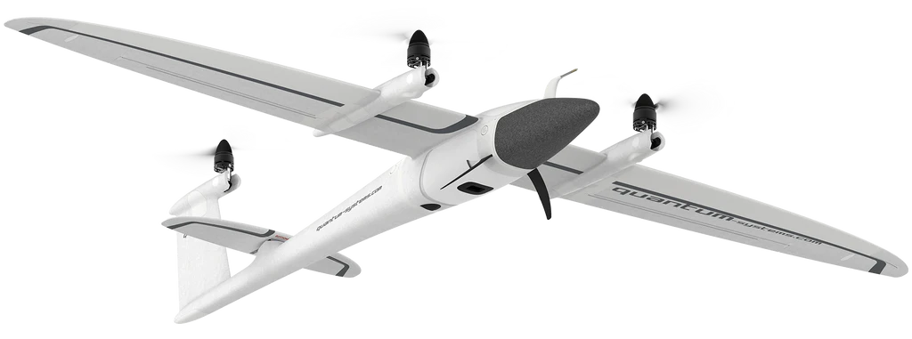
Quantum Trinity F90 or F90+
Resolution
1 MP
GNSS
PPK
Sensor
RGB
Drone
Quaternium Hybrix (PPK)
GNSS
PPK
Drone + Payload
senseFly eBee Geo (RTK)
Resolution
1 MP
GNSS
RTK
Sensor
RGB
Drone + Payload

senseFly eBee Plus (RTK)
Resolution
1 MP
GNSS
RTK
Sensor
RGB
Drone + Payload

senseFly eBee X (PPK)
Resolution
1 MP
GNSS
PPK
Sensor
RGB
Drone + Payload

senseFly eBee X (RTK/PPK)
Resolution
1 MP
GNSS
RTK
Sensor
RGB
Drone + Payload
Skydio 2
Resolution
12 MP
GNSS
GPS
Sensor
RGB
Drone + Payload

Skydio 2+
Resolution
1 MP
GNSS
GPS
Sensor
RGB
Drone + Payload
Skydio X2
Resolution
1 MP
GNSS
GPS
Sensor
RGB
Drone
SKYREAT Skydrone 2
Resolution
1 MP
GNSS
GPS
Drone + Payload
Skywalker X8
Resolution
1 MP
GNSS
PPK
Sensor
RGB
Drone + Payload
Smartdrone Discovery 2 PPK
Resolution
12 MP
GNSS
PPK
Sensor
RGB
Drone
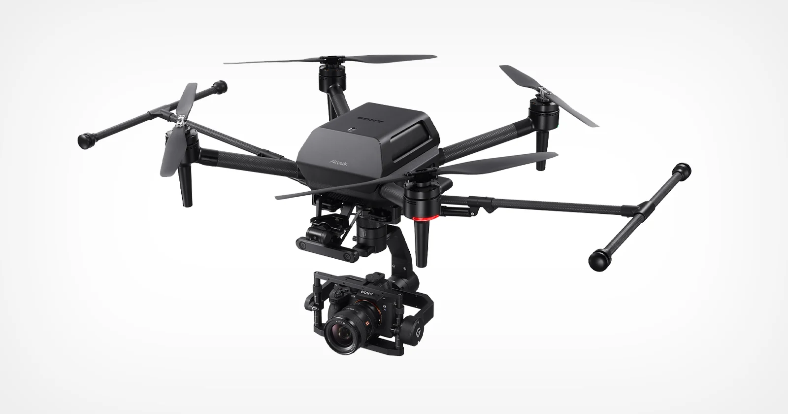
Sony Airpeak S1
GNSS
GPS
Drone + Payload
TopCon Sirius Pro RTK
Resolution
20 MP
GNSS
RTK
Sensor
RGB
Drone + Payload
TOPODRONE DJI Phantom 4 PRO with PPK Upgrade Kit
Resolution
20 MP
GNSS
PPK
Sensor
RGB
Drone + Payload
Trimble UX5 HP
Resolution
36 MP
GNSS
PPK
Sensor
RGB
Drone
Ttaviation M6E-1
Resolution
1 MP
GNSS
GPS
Sensor
RGB
Drone + Payload
Vertical Technologies DeltaQuad Pro #MAP
Resolution
64 MP
GNSS
PPK
Sensor
RGB
Drone + Payload
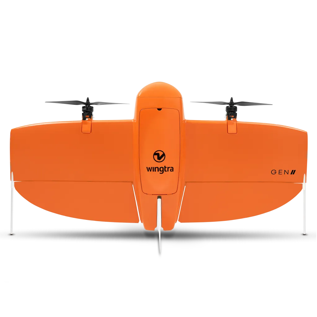
Wingtra One Gen2 (PPK)
Resolution
42 MP
GNSS
PPK
Sensor
RGB
Drone + Payload

Wingtra One Gen2 with oblique Sony oɑ6100 camera (PPK)
Resolution
20 MP
GNSS
PPK
Sensor
RGB
Drone + Payload
Wingtra One (PPK)
Resolution
42 MP
GNSS
PPK
Sensor
RGB
Drone + Payload
Wingtra One - Sony RX1R (PPK)
Resolution
42 MP
GNSS
PPK
Sensor
RGB
Drone + Payload
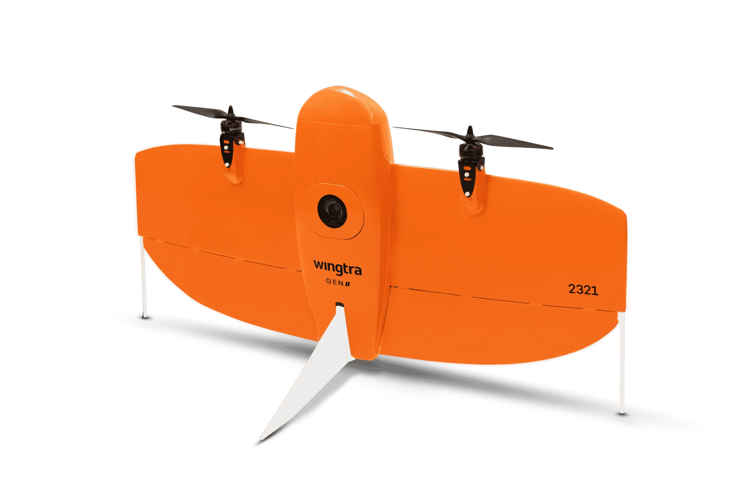
Wingtra One with LIDAR
Resolution
48 MP
GNSS
PPK
Sensor
RGB
LiDAR
Drone + Payload

Wingtra One (without-PPK)
Resolution
42 MP
GNSS
GPS
Sensor
RGB
Drone
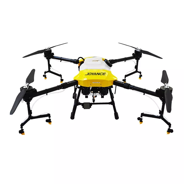
XAG P100 Agri
GNSS
GPS
Drone + Payload
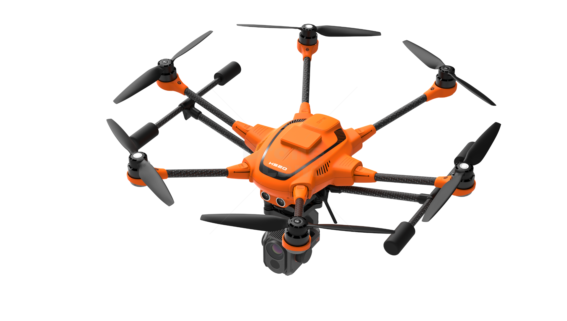
Yuneec H520
Resolution
1 MP
GNSS
GPS
Sensor
RGB
Drone + Payload

Yuneec H520E RTK
Resolution
1 MP
GNSS
RTK
Sensor
RGB
RGB
Drone + Payload
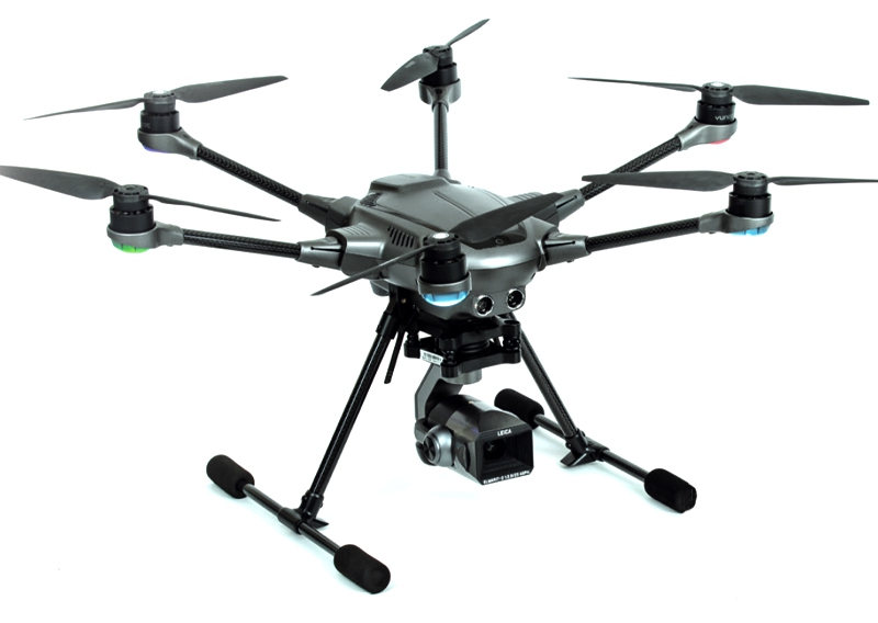
Yuneec Typhoon H3
Resolution
1 MP
GNSS
GPS
Sensor
RGB
Drone + Payload
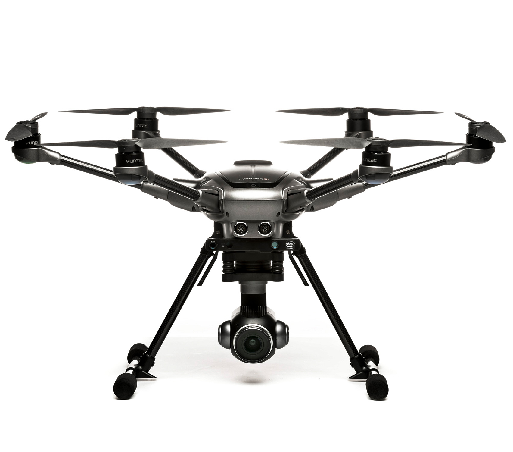
Yuneec Typhoon H Plus
Resolution
1 MP
GNSS
GPS
Sensor
RGB
Drone + Payload
DJI Air 3 or Air 3s
Resolution
48 MP
GNSS
GPS
Sensor
RGB
Drone + Payload
DJI M300/M350 + Zenmuse P1
Resolution
45 MP
GNSS
RTK
Sensor
RGB
Drone
DJI Matrice 210 RTK
GNSS
RTK
Drone
DJI Matrice 300
GNSS
RTK
Drone
DJI Matrice 600 (with RTK)
GNSS
GPS
Drone
DJI Agras T100
GNSS
RTK
Drone
DJI Inspire Series
GNSS
GPS
Drone + Payload
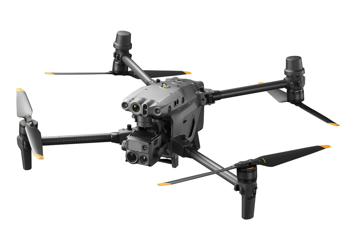
DJI M30T
Resolution
20 MP
GNSS
RTK
Sensor
RGB
Thermal
Drone + Payload
DJI Matrice 4T
Resolution
48 MP
GNSS
RTK
Sensor
RGB
Thermal
Drone + Payload
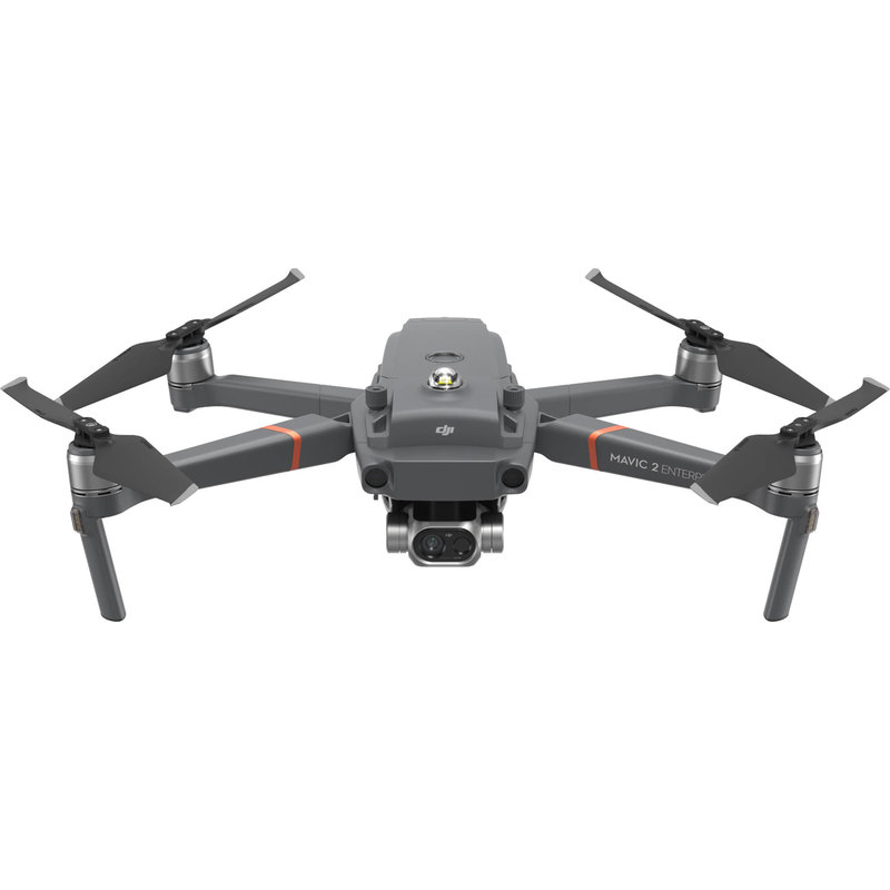
DJI Mavic 2 Enterprise Dual
Resolution
12 MP
GNSS
GPS
Sensor
RGB
Thermal
Drone + Payload
DJI Mavic 3 Multispectral RTK
Resolution
20 MP
GNSS
RTK
Sensor
RGB
Multispectral
Drone
DJI Agras 1S
GNSS
GPS
Sensor
RGB
Drone
DJI Agras T25
GNSS
RTK
Drone + Payload
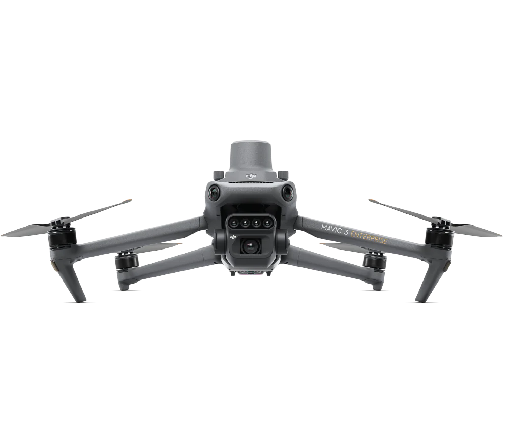
DJI Mavic 3 Enterprise RTK
Resolution
20 MP
GNSS
RTK
Sensor
RGB
Drone + Payload
DJI Mavic 3 Thermal RTK
Resolution
1 MP
GNSS
RTK
Sensor
RGB
Thermal
Drone
DJI Agras T50
GNSS
RTK
Drone + Payload
DJI Phantom 4 RTK
Resolution
20 MP
GNSS
RTK
Sensor
RGB
Drone
3DR Solo
GNSS
GPS
Drone
AceCore NEO
GNSS
GPS
Drone
AceCore ZOE
GNSS
GPS
Drone + Payload
AeroVironment Quantix Mapper Drone
Resolution
1 MP
GNSS
PPK
Sensor
RGB
Drone + Payload
Atmos Marlyn Cobalt
Resolution
42 MP
GNSS
PPK
Sensor
RGB
Drone + Payload
Autel EVO II Enterprice
Resolution
1 MP
GNSS
GPS
Sensor
RGB
Drone + Payload
Autel EVO II Enterprise 640t Thermal
Resolution
1 MP
GNSS
GPS
Sensor
RGB
Thermal
Drone + Payload
Autel Evo II Pro
Resolution
40 MP
GNSS
GPS
Sensor
RGB
Drone + Payload
Autel EVO II RTK Series
Resolution
48 MP
GNSS
PPK
Sensor
RGB
Drone + Payload
Autel Evo Max 4T/.N
Resolution
1 MP
GNSS
GPS
Sensor
RGB
Thermal
Drone + Payload
CHCNAV P330 Pro
Resolution
1 MP
GNSS
PPK
Sensor
RGB
Drone + Payload
Delair DT26
Resolution
1 MP
GNSS
PPK
Sensor
RGB
Drone + Payload
Delair UX11
Resolution
20 MP
GNSS
PPK
Sensor
RGB
Drone + Payload
Delair UX11-AG (Micasense Rededge)
Resolution
1 MP
GNSS
PPK
Sensor
RGB
Multispectral
Drone
DJI Agras T10
GNSS
RTK
Drone
DJI Agras T16
GNSS
GPS
Sensor
RGB
Drone
DJI Agras T30
GNSS
RTK
Drone
DJI Agras T40
GNSS
RTK
Drone
DJI Agras T60
GNSS
RTK
Drone
DJI Agras T70
GNSS
RTK
Drone + Payload
DJI Air 2
Resolution
48 MP
GNSS
GPS
Sensor
RGB
Drone + Payload
DJI Air 2s
Resolution
48 MP
GNSS
GPS
Sensor
RGB
Drone + Payload
DJI Avata
Resolution
1 MP
GNSS
GPS
Sensor
RGB
Drone + Payload
DJI Dock 2
Resolution
20 MP
GNSS
PPK
Sensor
RGB
Thermal
Drone + Payload
DJI Dock 3
Resolution
20 MP
GNSS
PPK
Sensor
RGB
Thermal
Drone + Payload
DJI FPV
Resolution
1 MP
GNSS
GPS
Sensor
RGB
Drone
DJI Inspire 1
GNSS
GPS
Drone + Payload
DJI M30
Resolution
1 MP
GNSS
RTK
Sensor
RGB
Thermal
Drone + Payload
DJI M300 + L1
Resolution
20 MP
GNSS
RTK
Sensor
LiDAR
Drone + Payload
DJI M300/M350 + L2
Resolution
20 MP
GNSS
RTK
Sensor
RGB
LiDAR
Drone + Payload
DJI M300 RTK Gremsy Sony A7RIV
Resolution
61 MP
GNSS
RTK
Sensor
RGB
Drone
DJI M350
GNSS
RTK
Drone
DJI M400
GNSS
RTK
Drone
DJI Matrice 100
GNSS
GPS
Drone
DJI Matrice 200/210 (non-RTK)
GNSS
GPS
Drone + Payload
DJI Matrice 3 DT
Resolution
48 MP
GNSS
PPK
Sensor
RGB
Thermal
Drone + Payload
DJI Matrice 4E
Resolution
20 MP
GNSS
RTK
Sensor
RGB
Drone
DJI Matrice 600 (Pro)
GNSS
GPS
Drone + Payload
DJI Mavic
Resolution
1 MP
GNSS
GPS
Sensor
RGB
Drone + Payload
DJI Mavic 2 Enterprise
Resolution
12 MP
GNSS
GPS
Sensor
RGB
Drone + Payload
DJI Mavic 2 Pro
Resolution
20 MP
GNSS
GPS
Sensor
RGB
Drone + Payload
DJI Mavic 2 Zoom
Resolution
12 MP
GNSS
GPS
Sensor
RGB
Drone + Payload
DJI Mavic 3
Resolution
20 MP
GNSS
GPS
Sensor
RGB
Drone + Payload
DJI Mavic 3 Pro
Resolution
48 MP
GNSS
GPS
Sensor
RGB
Drone + Payload
DJI Mavic 3T
Resolution
20 MP
GNSS
RTK
Sensor
RGB
Thermal
Drone + Payload
DJI Mavic 4 series
Resolution
20 MP
GNSS
GPS
Sensor
RGB
Drone + Payload
DJI Mavic (custom RTK/PPK receiver)
Resolution
12 MP
GNSS
PPK
Sensor
RGB
Drone + Payload
DJI Mavic Enterprise Advanced (no RTK module)
Resolution
1 MP
GNSS
GPS
Sensor
RGB
Thermal
Drone + Payload
DJI Mavic Enterprise Advanced (with RTK module)
Resolution
1 MP
GNSS
RTK
Sensor
RGB
Thermal
Drone + Payload
DJI Mavic Pro
Resolution
1 MP
GNSS
GPS
Sensor
RGB
Drone + Payload
DJI Mini 2
Resolution
1 MP
GNSS
GPS
Sensor
RGB
Drone + Payload
DJI Mini 3 PRO
Resolution
48 MP
GNSS
GPS
Sensor
RGB
Drone + Payload
DJI Mini 4 or newer
Resolution
20 MP
GNSS
GPS
Sensor
RGB
Drone + Payload
DJI Phantom 4 Multispectral
Resolution
1 MP
GNSS
RTK
Sensor
Multispectral
Drone + Payload
DJI Phantom 4 Pro/Advanced
Resolution
20 MP
GNSS
GPS
Sensor
RGB
Drone + Payload
DJI Phantom 4 (standard)
Resolution
20 MP
GNSS
GPS
Sensor
RGB
Drone + Payload
DJI Spark
Resolution
1 MP
GNSS
GPS
Sensor
RGB
Drone
DJI Zenmuse H30T
GNSS
RTK
Sensor
RGB
Thermal
Drone + Payload
DJI Zenmuse L2
Resolution
20 MP
GNSS
RTK
Sensor
RGB
LiDAR
Drone
DYI (Custom) (A self-build drone)
GNSS
GPS
Drone
FireFLY6 PRO
GNSS
GPS
Drone
Firefly Alta X
GNSS
PPK
Drone + Payload
Flyability Elios
Resolution
1 MP
GNSS
GPS
Sensor
RGB
Drone + Payload
Flyability Elios 2
Resolution
1 MP
GNSS
GPS
Sensor
RGB
Drone + Payload
Intel Falcon 8
Resolution
36 MP
GNSS
GPS
Sensor
RGB
Drone + Payload
Intel Falcon 8+
Resolution
36 MP
GNSS
GPS
Sensor
RGB
Drone
Joyance JT 16
Resolution
1 MP
GNSS
GPS
Sensor
RGB
Drone + Payload
Leica BLK2Fly
Resolution
1 MP
GNSS
PPK
Sensor
RGB
LiDAR
Drone
LOGXON Porter
Resolution
1 MP
GNSS
GPS
Drone + Payload
Microdrones mdLidar1000HR
Resolution
1 MP
GNSS
PPK
Sensor
RGB
LiDAR
Drone
Mikrokopter HEXA XL
GNSS
PPK
Drone
Mikrokopter OKTO XL
GNSS
PPK
Drone + Payload
NUVEM UAV Batmap I
Resolution
24 MP
GNSS
RTK
Sensor
RGB
Drone + Payload
NUVEM UAV Batmap II
Resolution
24 MP
GNSS
RTK
Sensor
RGB
Drone + Payload
Parrot ANAFI
Resolution
12 MP
GNSS
GPS
Sensor
RGB
Drone + Payload
Parrot ANAFI AI
Resolution
48 MP
GNSS
GPS
Sensor
RGB
Drone + Payload
Parrot ANAFI Thermal (low-resolution sensor)
GNSS
GPS
Sensor
Thermal
Drone + Payload
Parrot ANAFI USA
Resolution
1 MP
GNSS
GPS
Sensor
RGB
Thermal
Drone + Payload
Parrot Disco
Resolution
1 MP
GNSS
GPS
Sensor
RGB
Drone + Payload
Parrot eBee + S.O.D.A. camera (non-RTK/non-PPK)
Resolution
1 MP
GNSS
GPS
Sensor
RGB
Drone
Plane Manned Aircraft
GNSS
PPK
Drone + Payload
Quantum Trinity F90 or F90+
Resolution
1 MP
GNSS
PPK
Sensor
RGB
Drone
Quaternium Hybrix (PPK)
GNSS
PPK
Drone + Payload
senseFly eBee Geo (RTK)
Resolution
1 MP
GNSS
RTK
Sensor
RGB
Drone + Payload
senseFly eBee Plus (RTK)
Resolution
1 MP
GNSS
RTK
Sensor
RGB
Drone + Payload
senseFly eBee X (PPK)
Resolution
1 MP
GNSS
PPK
Sensor
RGB
Drone + Payload
senseFly eBee X (RTK/PPK)
Resolution
1 MP
GNSS
RTK
Sensor
RGB
Drone + Payload
Skydio 2
Resolution
12 MP
GNSS
GPS
Sensor
RGB
Drone + Payload
Skydio 2+
Resolution
1 MP
GNSS
GPS
Sensor
RGB
Drone + Payload
Skydio X2
Resolution
1 MP
GNSS
GPS
Sensor
RGB
Drone
SKYREAT Skydrone 2
Resolution
1 MP
GNSS
GPS
Drone + Payload
Skywalker X8
Resolution
1 MP
GNSS
PPK
Sensor
RGB
Drone + Payload
Smartdrone Discovery 2 PPK
Resolution
12 MP
GNSS
PPK
Sensor
RGB
Drone
Sony Airpeak S1
GNSS
GPS
Drone + Payload
TopCon Sirius Pro RTK
Resolution
20 MP
GNSS
RTK
Sensor
RGB
Drone + Payload
TOPODRONE DJI Phantom 4 PRO with PPK Upgrade Kit
Resolution
20 MP
GNSS
PPK
Sensor
RGB
Drone + Payload
Trimble UX5 HP
Resolution
36 MP
GNSS
PPK
Sensor
RGB
Drone
Ttaviation M6E-1
Resolution
1 MP
GNSS
GPS
Sensor
RGB
Drone + Payload
Vertical Technologies DeltaQuad Pro #MAP
Resolution
64 MP
GNSS
PPK
Sensor
RGB
Drone + Payload
Wingtra One Gen2 (PPK)
Resolution
42 MP
GNSS
PPK
Sensor
RGB
Drone + Payload
Wingtra One Gen2 with oblique Sony oɑ6100 camera (PPK)
Resolution
20 MP
GNSS
PPK
Sensor
RGB
Drone + Payload
Wingtra One (PPK)
Resolution
42 MP
GNSS
PPK
Sensor
RGB
Drone + Payload
Wingtra One - Sony RX1R (PPK)
Resolution
42 MP
GNSS
PPK
Sensor
RGB
Drone + Payload
Wingtra One with LIDAR
Resolution
48 MP
GNSS
PPK
Sensor
RGB
LiDAR
Drone + Payload
Wingtra One (without-PPK)
Resolution
42 MP
GNSS
GPS
Sensor
RGB
Drone
XAG P100 Agri
GNSS
GPS
Drone + Payload
Yuneec H520
Resolution
1 MP
GNSS
GPS
Sensor
RGB
Drone + Payload
Yuneec H520E RTK
Resolution
1 MP
GNSS
RTK
Sensor
RGB
RGB
Drone + Payload
Yuneec Typhoon H3
Resolution
1 MP
GNSS
GPS
Sensor
RGB
Drone + Payload
Yuneec Typhoon H Plus
Resolution
1 MP
GNSS
GPS
Sensor
RGB
Inflights Hub
We're thrilled to announce that, after 8 fantastic years partnering with top-tier engineering clients and an incredible fleet of drone pilots, we're ready to share our innovative internal tool with you! Sign up today to elevate your drone business and boost your revenues with a wealth of new insights that enable you to unlock more business opportunities.
Welcome to the Inflights Hub!
We're excited to make the Inflights tool accessible to you!
BENEFITS
Expand your mission opportunities as Inflights Hub processes your raw data effortlessly
Enhance your productivity with our specially designed software for drone businesses
Enjoy automated pricing and ordering tools tailored specifically for your needs
Access more flight opportunities and process requests through the Inflights Hub
Get in touch
Reach out to so we can get you on board!