They are highly detailed
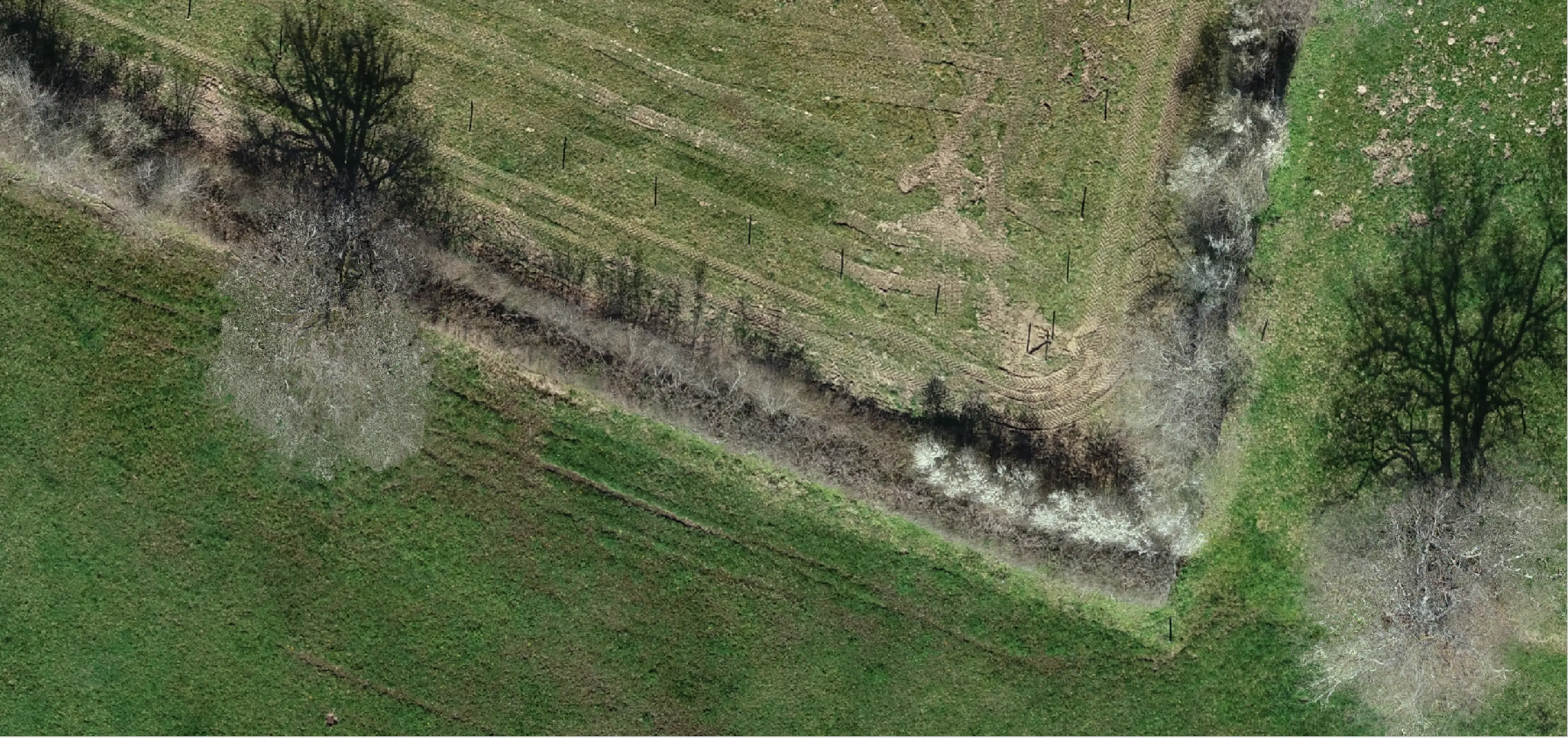
Imagine having live and centimeter resolution satellite images anywhere in the world. It would certainly make it easier to analyze roofs and terrains for your ongoing projects, because you would be able to detect obstacles and measure elements. However, unless you work for a top-secret spy agency, it’s unlikely you will have access to this data. Luckily, you can get the same results with drone data.
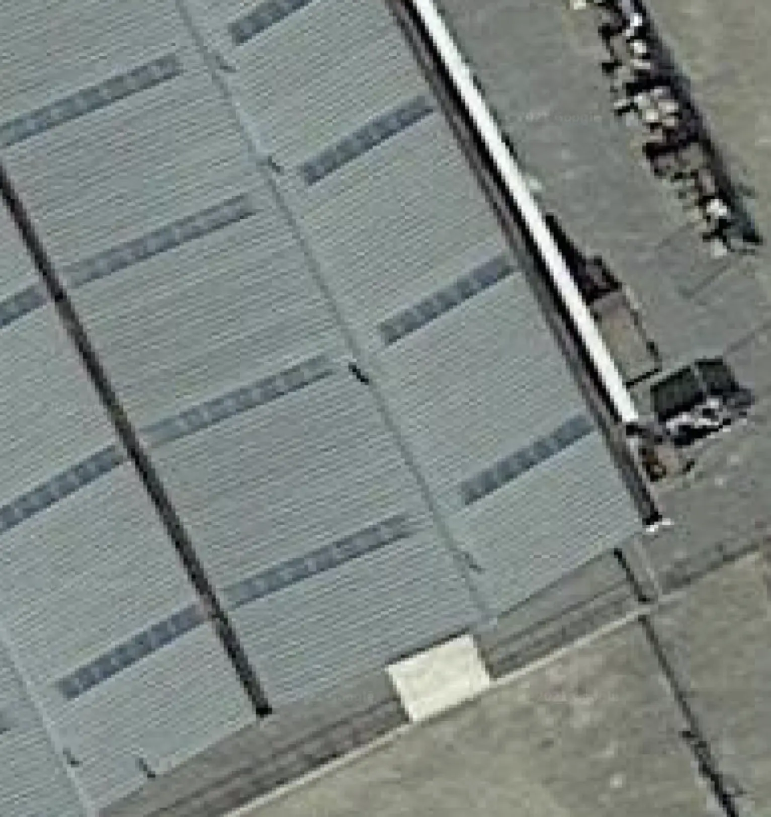
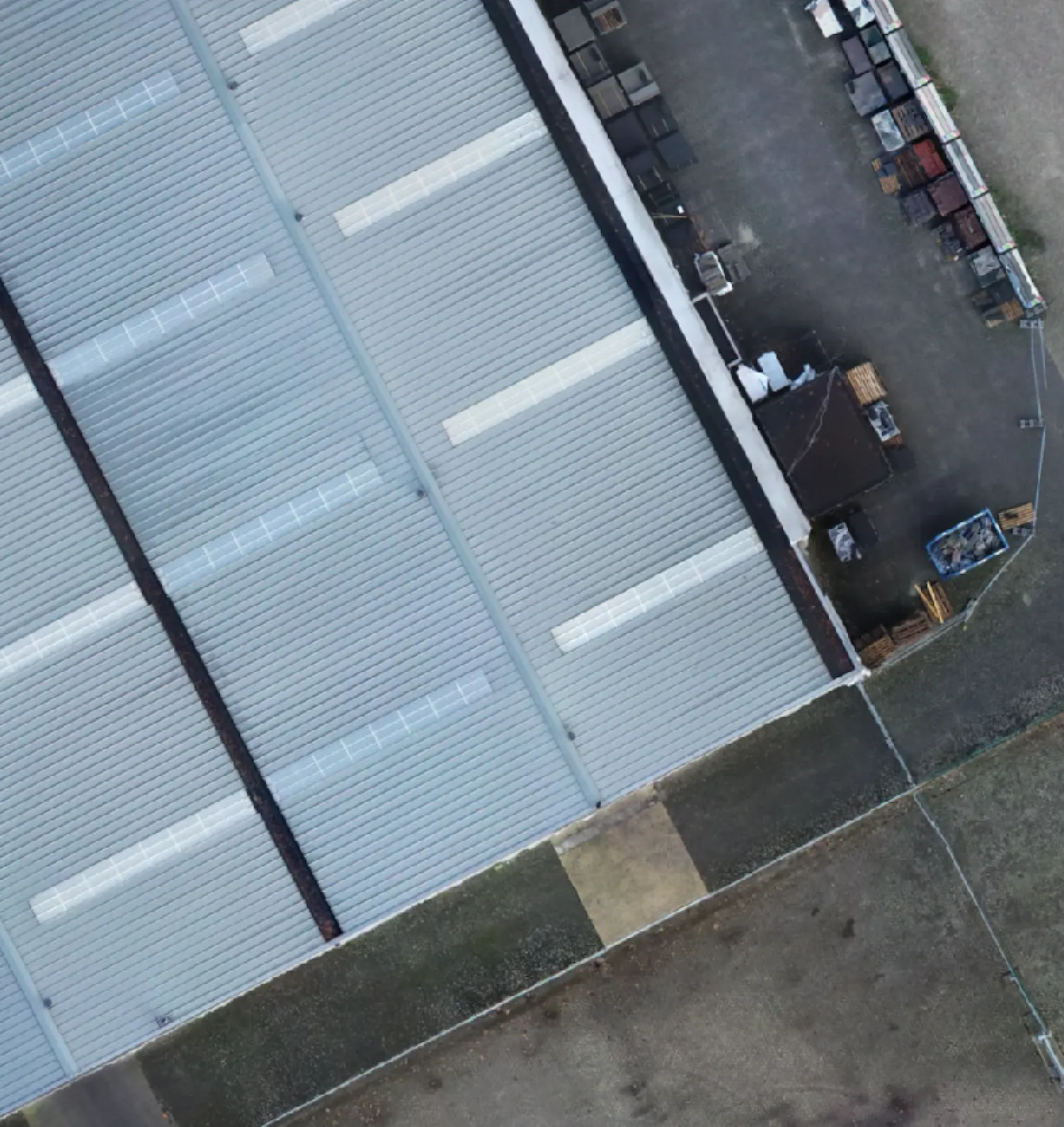
What you see in Google Maps, or any map viewer based on satellite imagery, is called an orthophoto mosaic map, or simply an “orthomosaic”. With drones, you can get the same results, but with a higher level of detail. This is because drones fly at a lower altitude with high-quality cameras, and thus have a better Ground Sampling Distance (GSD), which means a pixel in the photos represents a smaller area on the ground. Even a GSD of 2 millimeters is possible with a good enough camera or a low-enough altitude.
They are "map accurate"
The starting point of an orthomosaic map is a set of aerial photographs. The original photos cannot be used directly on a map however, because they will have optical distortions and may be taken at an angle. That is why an algorithm known as orthorectification is used to modify the photos to make them usable with Geographical Information Systems (GIS). This process ensures that the resulting images are “map accurate” and can be used for measurement. Finally, these images are stitched together to give us a realistic and accurate top-level view of the area.
The orthomosaic will have a correct geo reference to your project’s coordinate reference system, so you can use it for measurements or overlay it on a map–they are “map accurate” on an absolute basis.
They are up-to-date
While satellite or other GIS data may get outdated relatively quickly, a drone-based orthomosaic will give you the most up-to-date perspective on the area that you want to survey on the day you want.
They can be a foundation for linework
Just like other deliverables, like the point cloud, an orthomosaic map is a way to get a better view of your project. Often the orthomosaic is used as the basis for linework on terrains, along with the Digital Surface Model. The benefit of the orthomosaic is that it gives you a high resolution view, so that even the smallest details can be checked. Importing them into CAD software is easy, if you desire to do so.