Revolutionizing Solar PV Design: How Inflights, Virto Solar, and Insaver Streamline Your Projects
The solar PV industry, while facing headwinds in recent months, remains a crucial sector for a sustainable future. In these challenging times, efficiency and accuracy are more critical than ever. Imagine being able to accurately plan complex solar projects without ever setting foot on a roof, even for remote locations. This is precisely the solution offered by a powerful collaboration between three innovative companies: Inflights, Virto Solar, and Insaver.
Last year, these industry leaders hosted a webinar to unveil their integrated workflow, designed to accelerate PV project development worldwide. Let's recap the key takeaways.
Inflights: Your Gateway to Precision Drone Data
Inflights kicks off this streamlined process and is introduced by Hugo, Founder & CEO of Inflights. As a global network with over 3,000 drone pilots, Inflights delivers high-resolution drone data, providing the foundation for highly accurate CAD models. This data comes in two key "flavors":
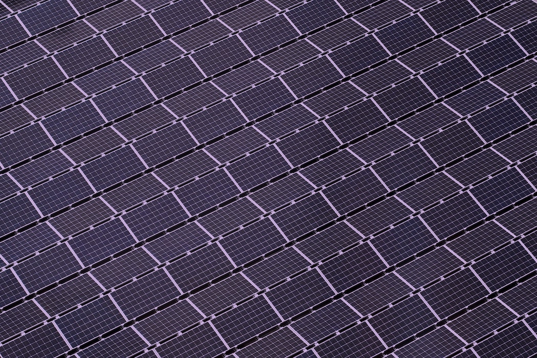
- Roofs: Ideal for visualizing existing installations, objects, and windows, crucial for precise solar panel placement.
- Terrain: Essential for understanding elevation, topography, and identifying obstacles like trees, particularly valuable for large-scale ground-mounted projects.
The traditional approach to site assessment often relies on outdated satellite imagery or costly, time-consuming on-site visits that carry health and safety risks. Inflights eliminates these hurdles by providing up-to-date, detailed digital twins and CAD models within approximately one week of placing an order. This rapid turnaround allows you to plan with confidence, even for projects in remote areas. Forget the hassle of finding and coordinating with local drone pilots; Inflights handles the entire data acquisition and processing from quote to delivery.
Virto Solar: Empowering Effortless PV Design
Once Inflights delivers the precise CAD model, Virto Solar steps in with their powerful software solutions: Virto.CAD and Virto.MAX.
- Virto.CAD is a plug-and-play PV design software, especially beneficial for large-scale projects. Designers and engineers can simply upload the Inflights CAD data and instantly begin detailed work: creating string plans, calculating ballast, generating cable lengths and trays, and much more.
- Virto.MAX is a rapid solar design tool, perfect for the pre-sale phase. It allows users to quickly draw rooftops, add panels, and conduct yield and shadow simulations, all while being fully compatible with Virto.CAD for seamless transition to detailed design.
Jerry from Virto Solar demonstrated just how easy it is to verify roof layouts, generate heat maps, calculate shadows, and explore different module configurations. The goal is clear: design more PV projects in less time, globally.
Insaver: Bringing Projects to Life
Completing the trifecta, Insaver is an expert in energy-saving solutions, specializing in solar panels, charging infrastructure, and energy management systems. With over 12 years of experience, more than 300 MWp installed, and a team of over 150 colleagues and partners across five countries (originally Belgium), Insaver serves both private and corporate clients as a stable and sustainable partner, prioritizing quality and safety.
Davy from Insaver even showed how simple it is to get an instant quote from Inflights, highlighting the user-friendly nature of the entire integrated process.
The New Workflow: Seamless Efficiency
The integrated workflow is straightforward: Inflights → Virto → Insaver.
- Inflights provides an instant quote. You book your project, and Inflights obtains the high-resolution drone data, delivering a digital twin and CAD model.
- This data is then plug-and-play with Virto.CAD or Virto.MAX, allowing designers to immediately begin detailed planning and simulation.
- Finally, Insaver can leverage these precise designs to implement robust, high-quality solar energy solutions.
Why Drone Data is the Future
The number one reason webinar participants cited for choosing drone data over traditional methods? Eliminating manual measurements! This significantly reduces on-site work, enhances safety, and saves valuable time. Using drone data can save several weeks on a project, especially for mapping large terrains.
While factors like weather and local permits (proximity to airports, military zones, government buildings) can influence timelines, the "happy flow" promises delivery of your CAD model and digital twin within just one week of ordering.
Inflights operates on a project-basis, meaning you only pay per project without long-term contracts or monthly fees.
This powerful collaboration offers a revolutionary approach to solar PV project development, promising greater efficiency, accuracy, and ultimately, more successful installations worldwide.
Here is our webinar for a detailed explanation: