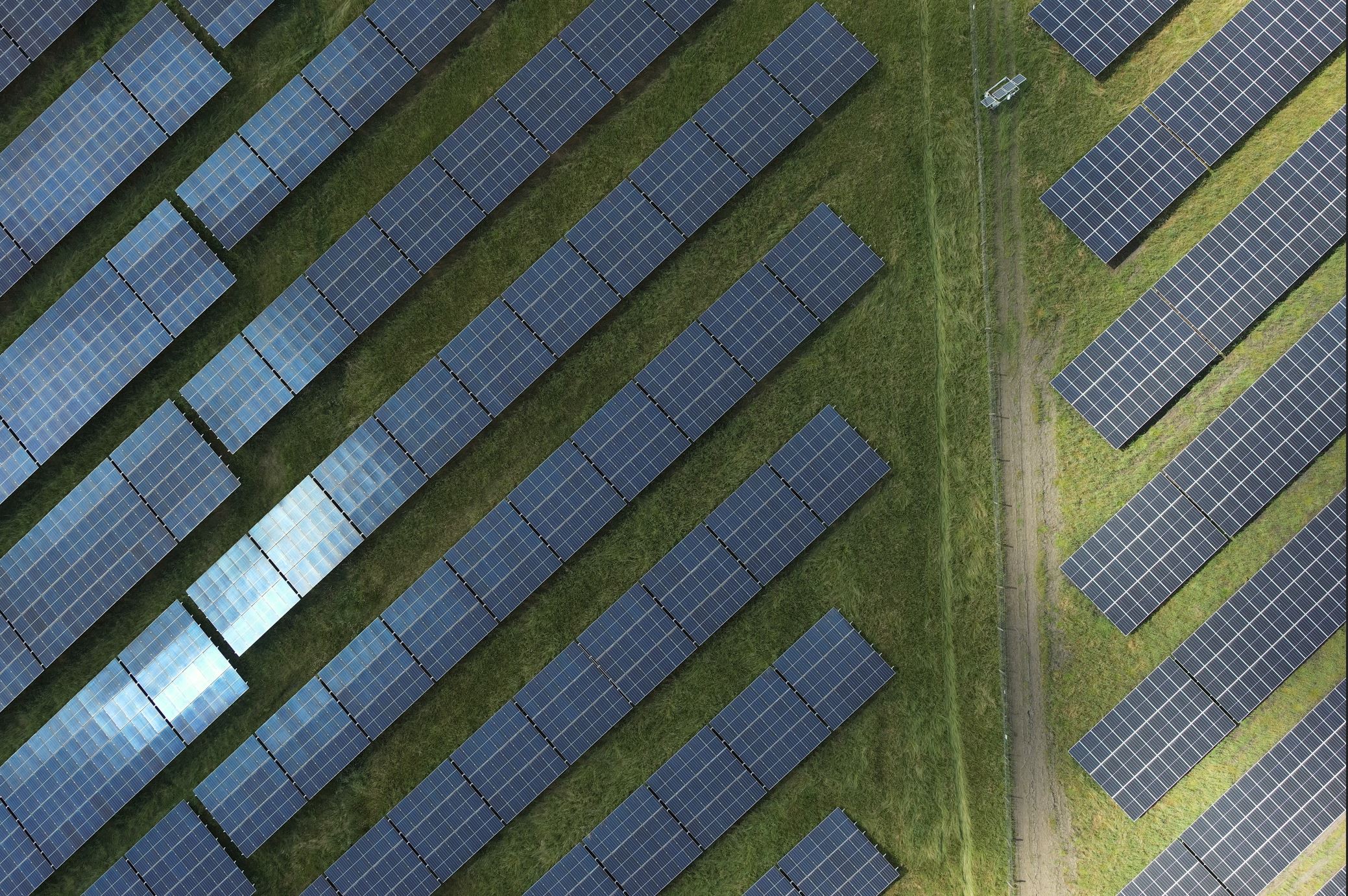
Solar Panel Settlement

Detect and quantify elevation changes in solar installations over time with reliable, repeatable drone-based measurements.

Deliverables

Structured settlement report incl. heatmaps
CAD Model Terrain - 3D
Point Cloud from Photogrammetry - 3D
Digital Surface Model - 2.5D
Ground Control Points - 3D
Orthomosaic - 2D
Orthomosaic - 2D
Unprocessed Pictures
Web Viewer
Web Viewer

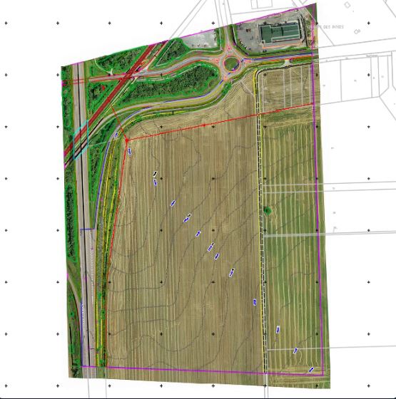
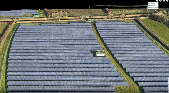
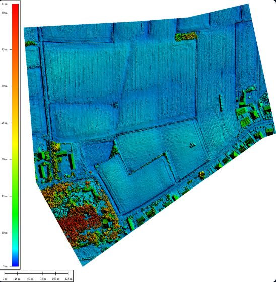
All deliverables are designed to make elevation changes easy to interpret and integrate into engineering and asset management workflows.

Pricing

Area Est. Price
0.1 ha € 2,000 min.
0.5 ha € 2,000 min.
1.0 ha € 2,000 min.
3.0 ha € 2,000 min.
5.0 ha € 2,000 min.
10.0 ha € 2,000 min.
50.0 ha € 2,004

All-inclusive. Exact price depends on location and terrain.

About this insight

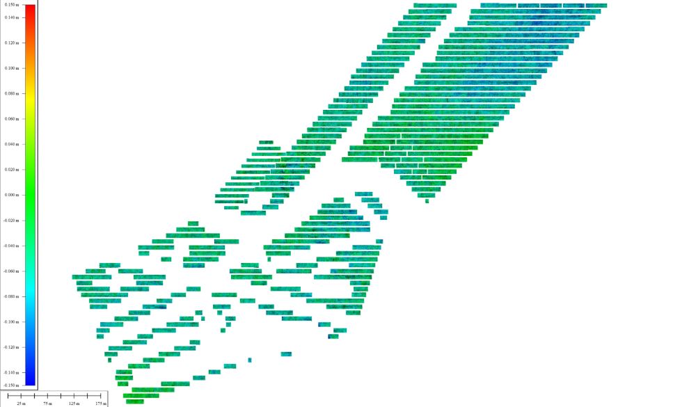
Solar panel installations can experience gradual ground movement over time due to subsidence, compaction or environmental factors. These shifts can impact alignment, structural integrity and long-term system performance. This service provides a reliable, drone-based method to monitor elevation changes and identify settlement patterns early — enabling corrective action before issues escalate.

Standard specifications: 2.0 cm GSD resolution.

Typical use cases

Monitoring structural stability of ground-mounted solar installations over time Early detection of differential settlement and alignment issues Supporting warranty assessments and long-term asset management Identifying risks before they impact performance or maintenance costs