Façade and Roof Mapping with CAD
Accurate 2D and 3D representations of façades and roofs to support inspection, restoration and engineering workflows.
Deliverables
Preview coming soon
Web Viewer
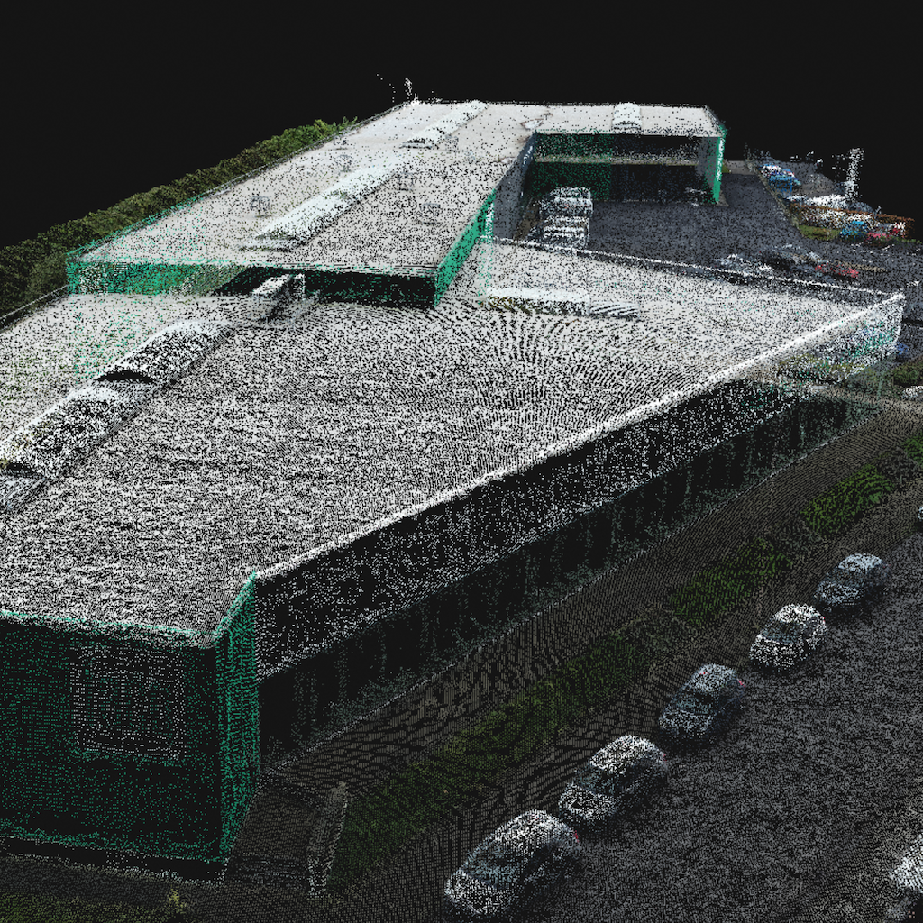
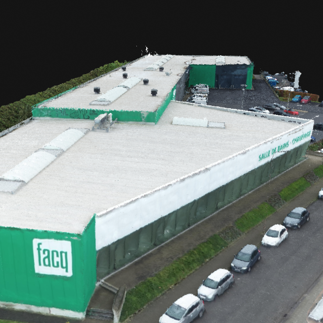
Point Cloud from Photogrammetry - 3D
Preview coming soon
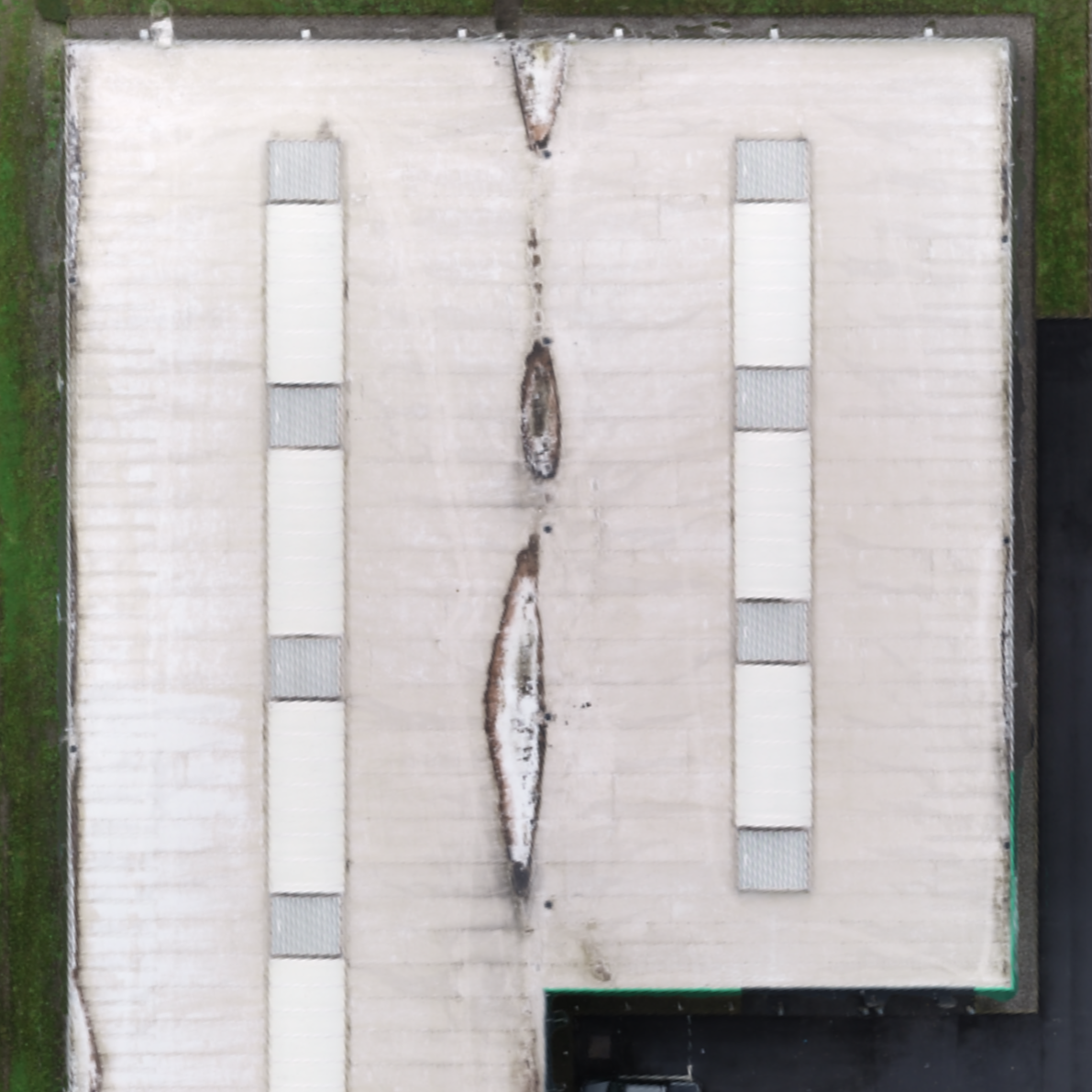
CAD Model Roof and Façade - 3D
Unprocessed Pictures
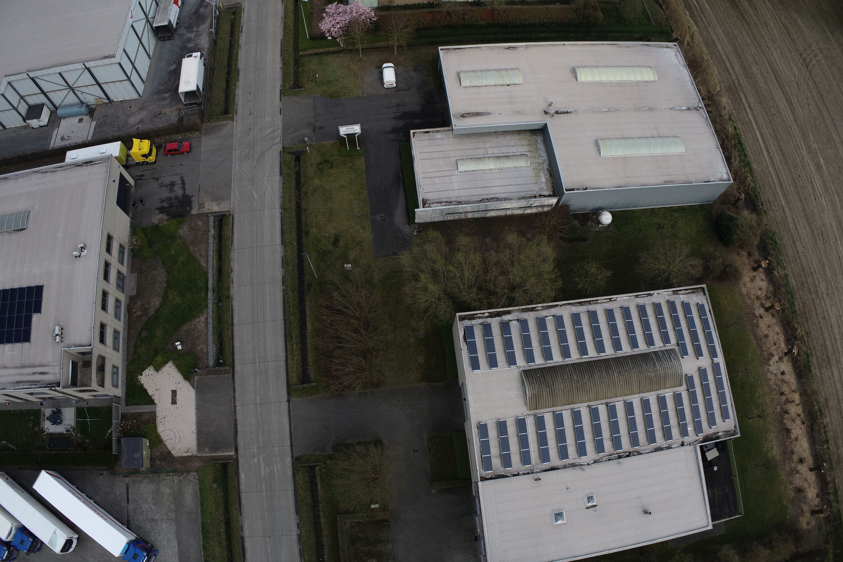
Orthomosaic - 2D
Preview coming soon
PDF version of the DWG drawing
Textured Mesh - 3D
Deliverables are provided in accurate scale and can be directly used for inspection, restoration and engineering purposes.
About this insight
Building façades and roofs are often difficult or unsafe to access using traditional methods. Drone-based photogrammetry allows you to capture detailed visual data of the entire structure and transform it into accurate, scaled representations. This enables precise inspection, documentation and integration into engineering or architectural plans.
Typical use cases
Façade condition assessment and inspection of hard-to-reach areas
Restoration and renovation planning with accurate visual references
Creation of building documentation and as-is representations
Architectural and engineering workflows requiring scaled façade data
High-quality visual assets for communication and project presentation