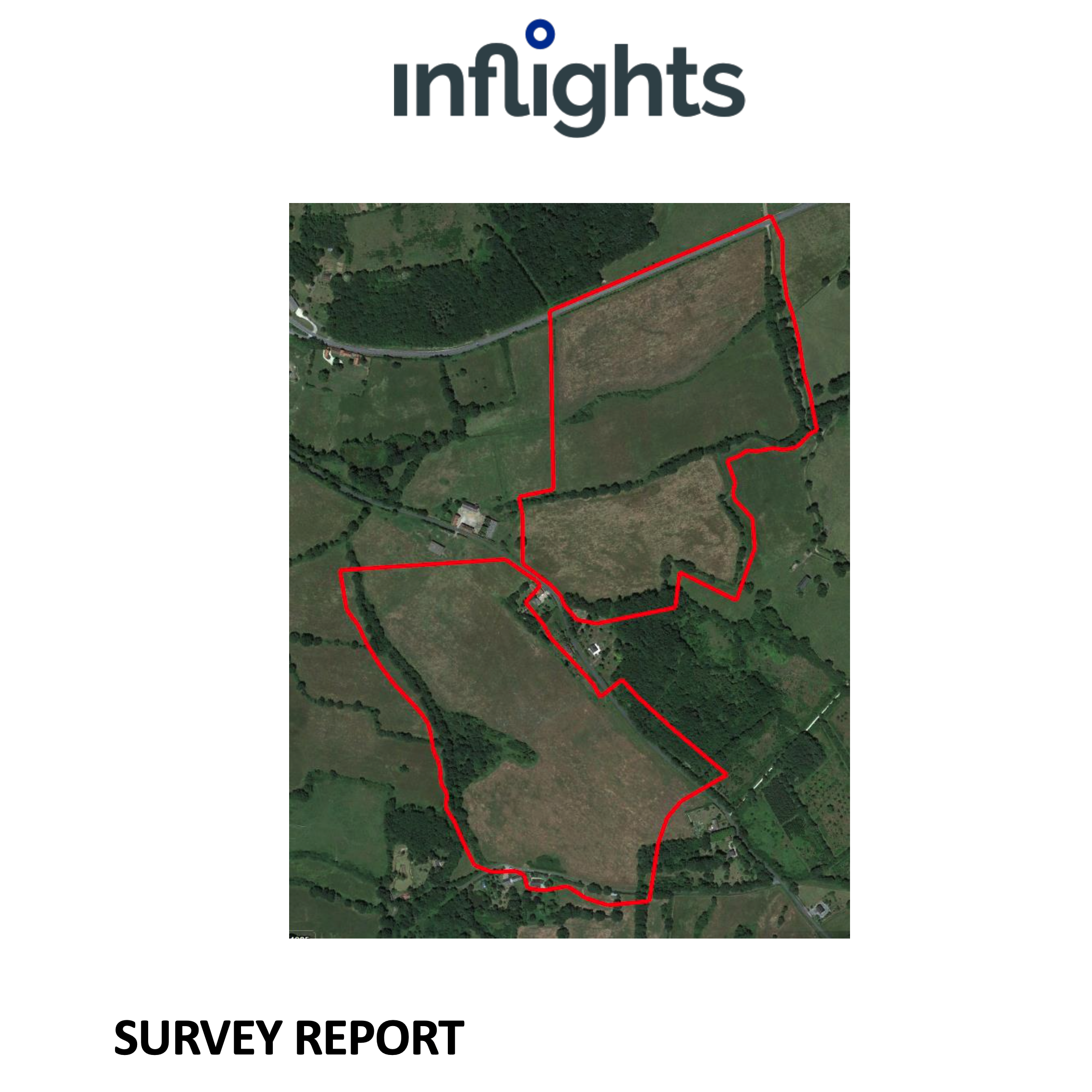
Terrain Mapping with LIDAR & CAD
High-precision terrain models and CAD-ready data for reliable engineering and design of ground-mounted solar installations — even in complex or vegetated terrain.
Deliverables
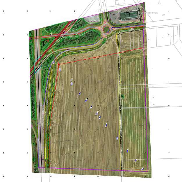
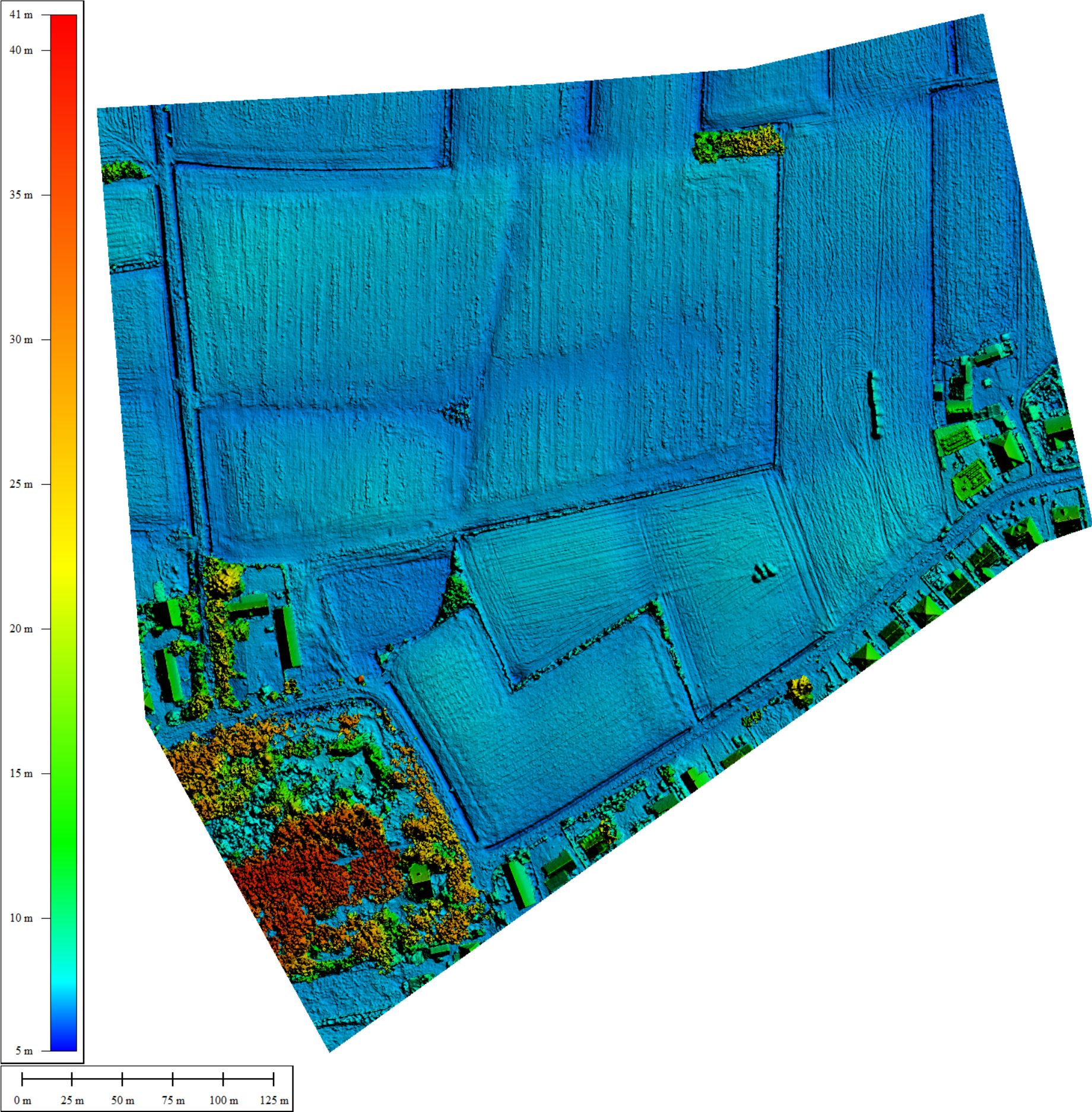
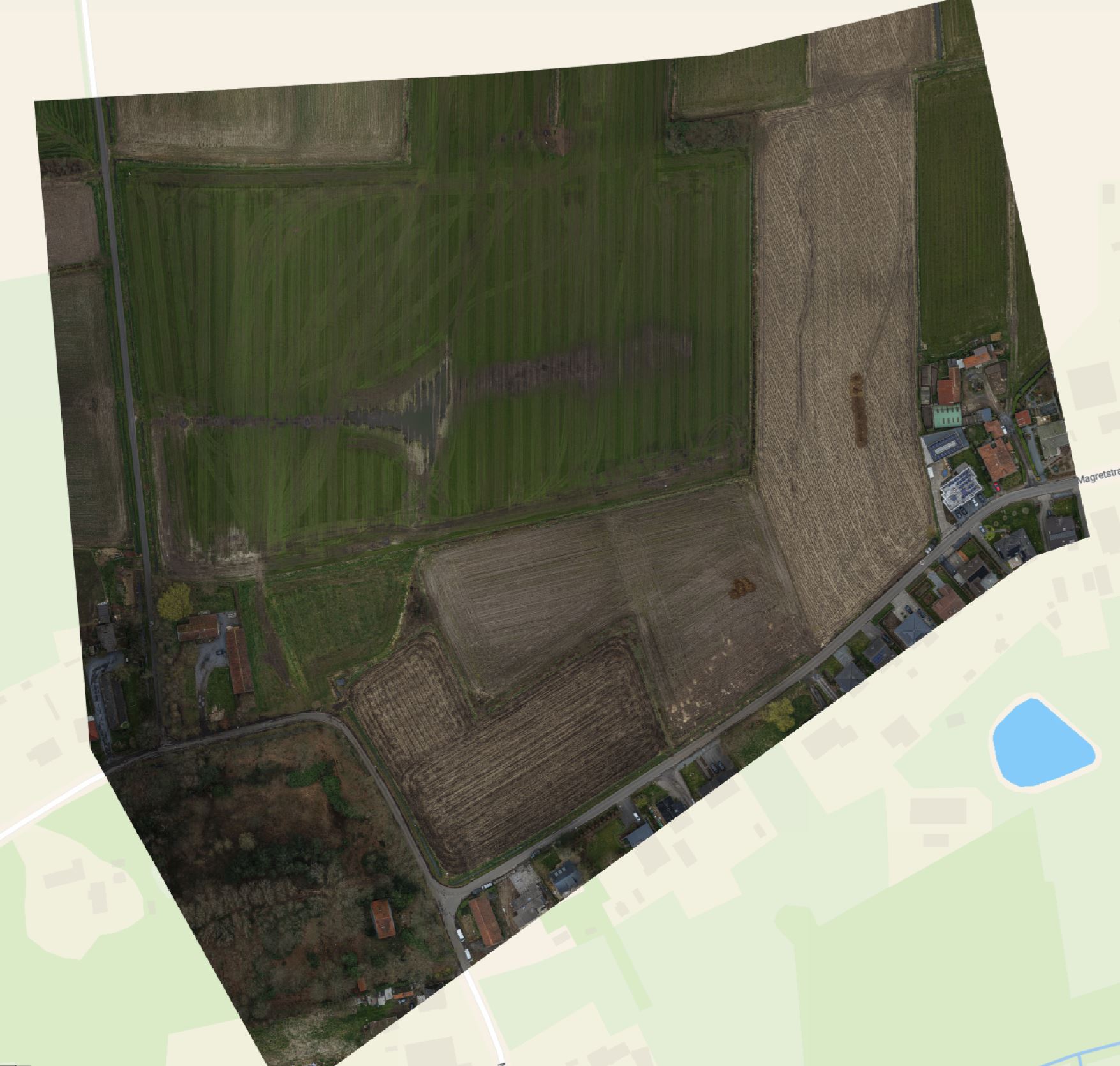
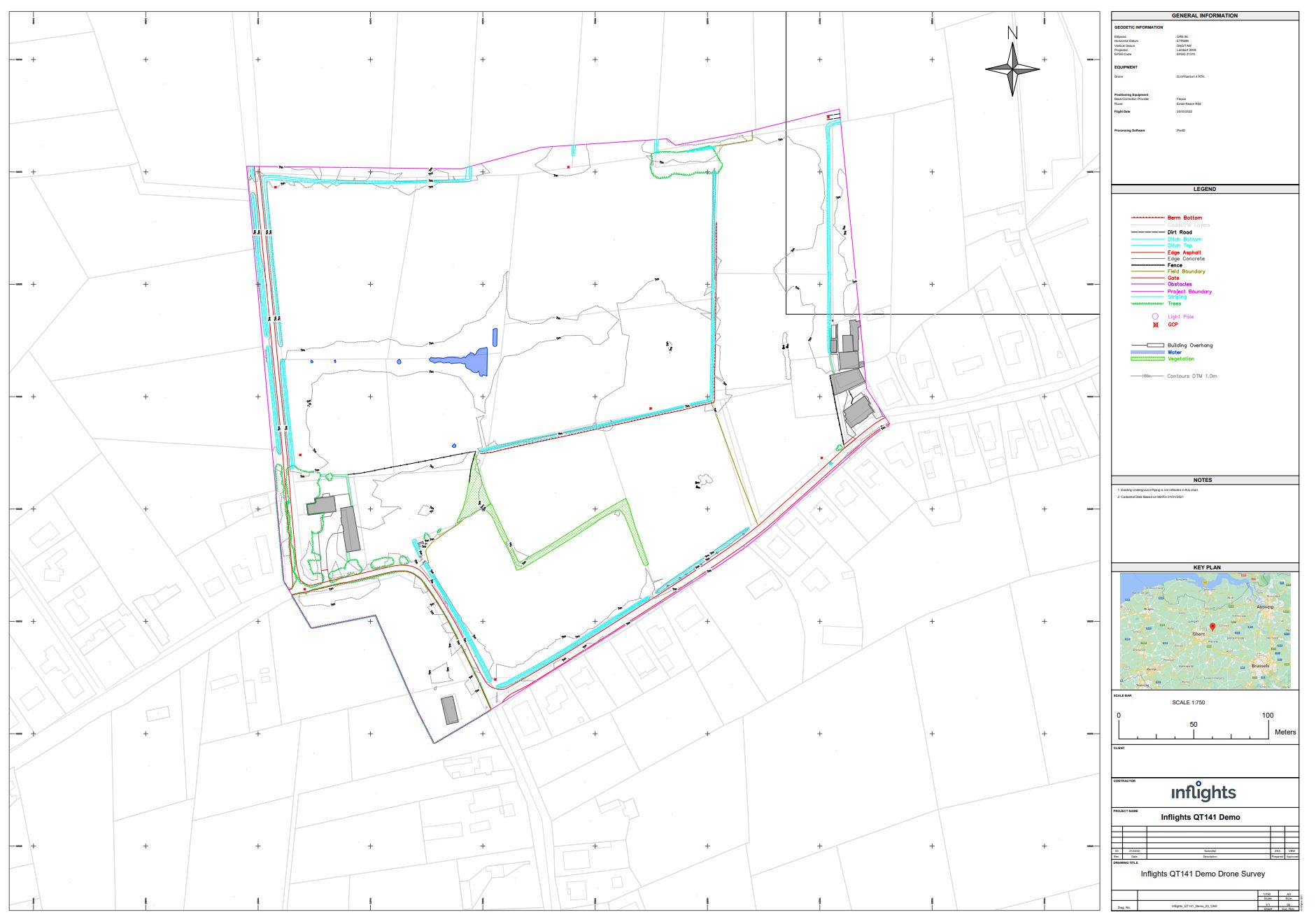
The standard specifications for our terrain mapping with Lidar deliverables are 3 cm GSD resolution and 6 cm relative accuracy in XYZ. All deliverables are provided in formats compatible with standard inspection, reporting and asset management workflows.
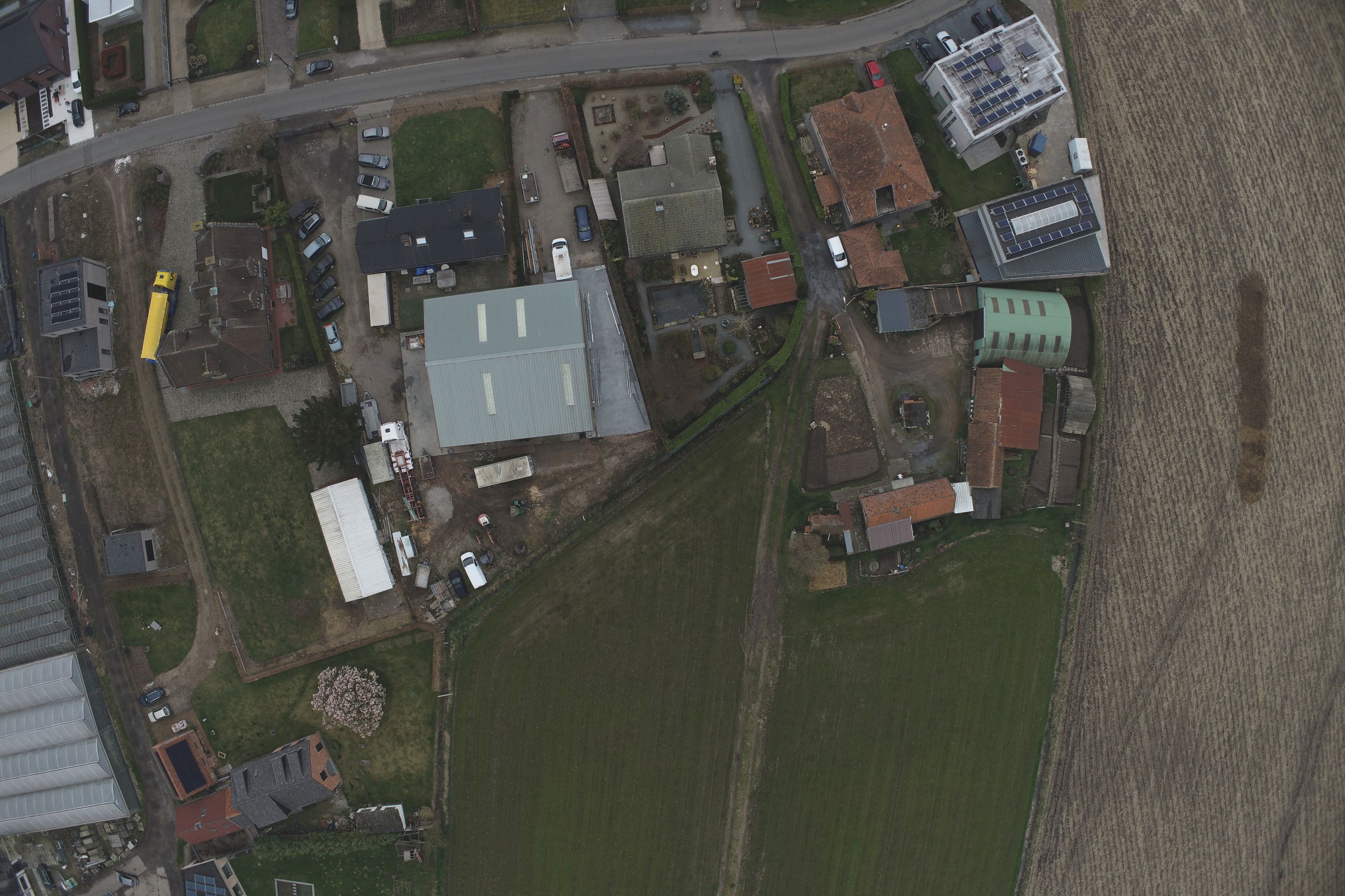
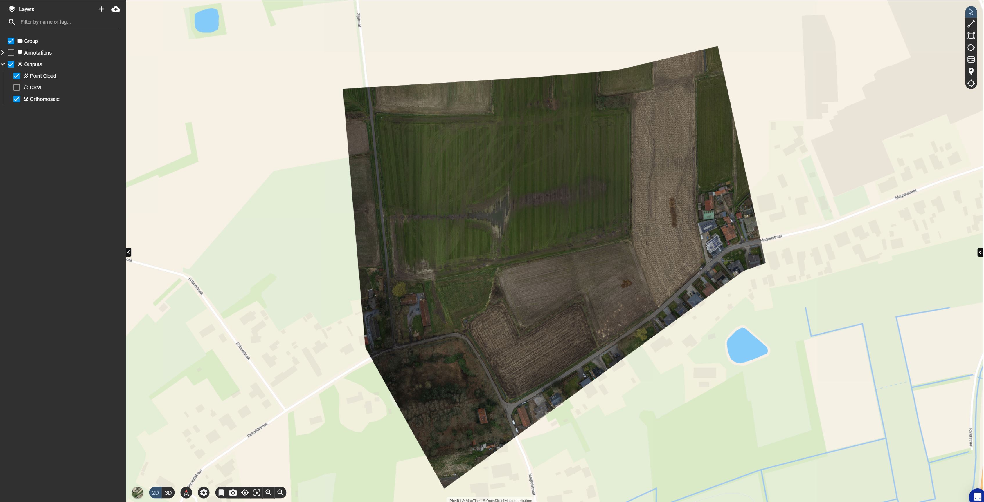
See it in action
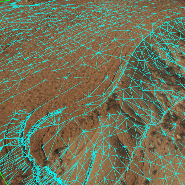
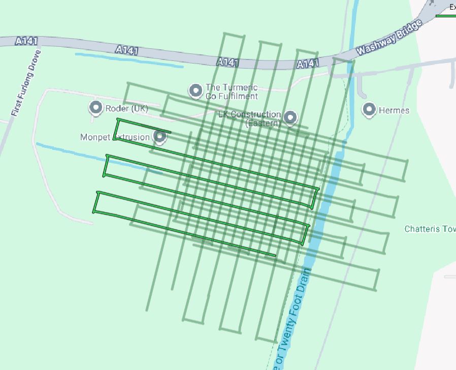
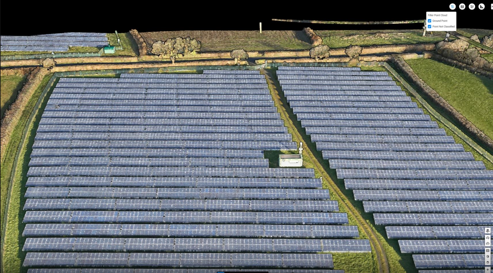
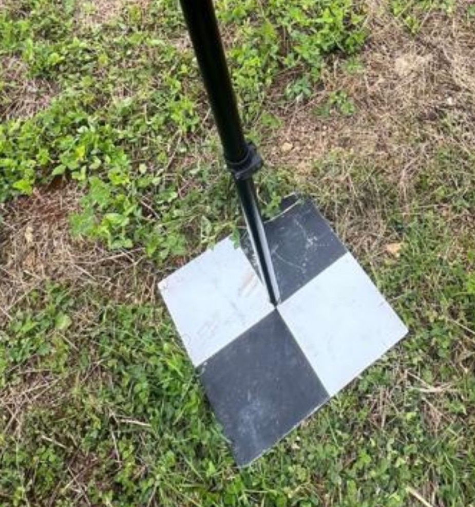
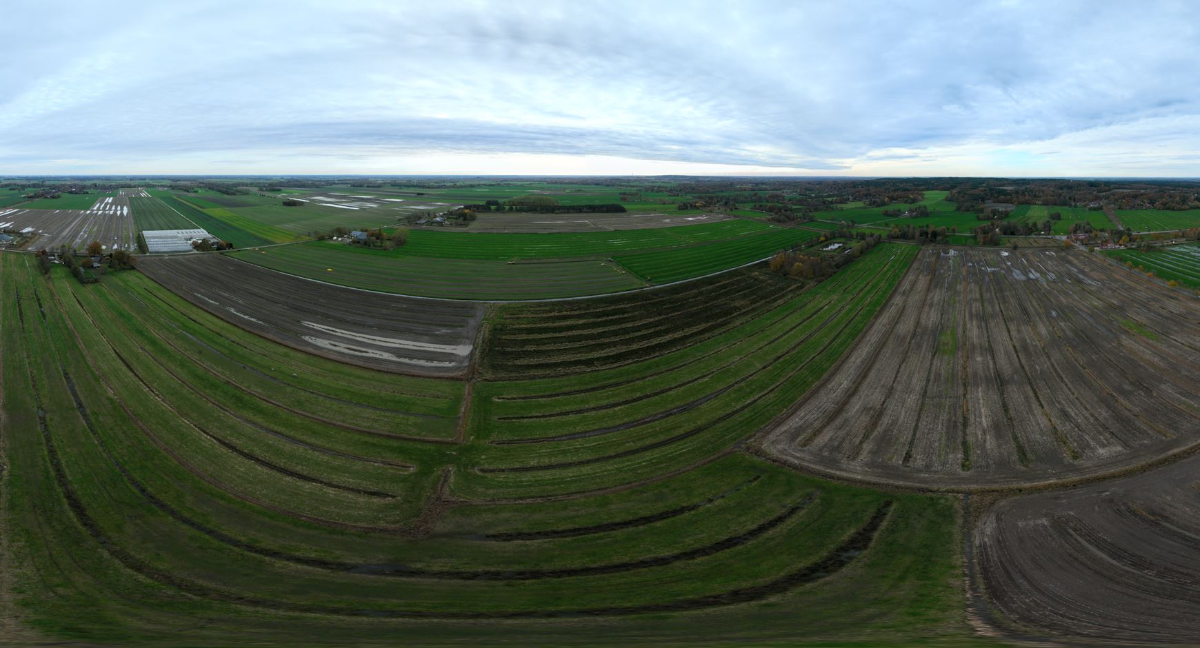
From drone data to final deliverable.
Pricing
All-inclusive. Exact price depends on location and terrain.
About this insight
Planning ground-mounted PV installations on complex or vegetated terrain often requires highly accurate elevation data. Standard surface surveys or photogrammetry may not fully capture the underlying ground where vegetation or irregular terrain is present. Terrain mapping with LiDAR solves this by capturing high-density elevation data that penetrates vegetation and produces reliable bare-earth terrain models. The result is precise, engineering-ready data that design teams can use immediately for layout planning, earthworks estimation and project development.