Terrain Mapping with CAD
Accurate terrain models and CAD-ready data for fast, reliable design of ground-mounted solar installations.
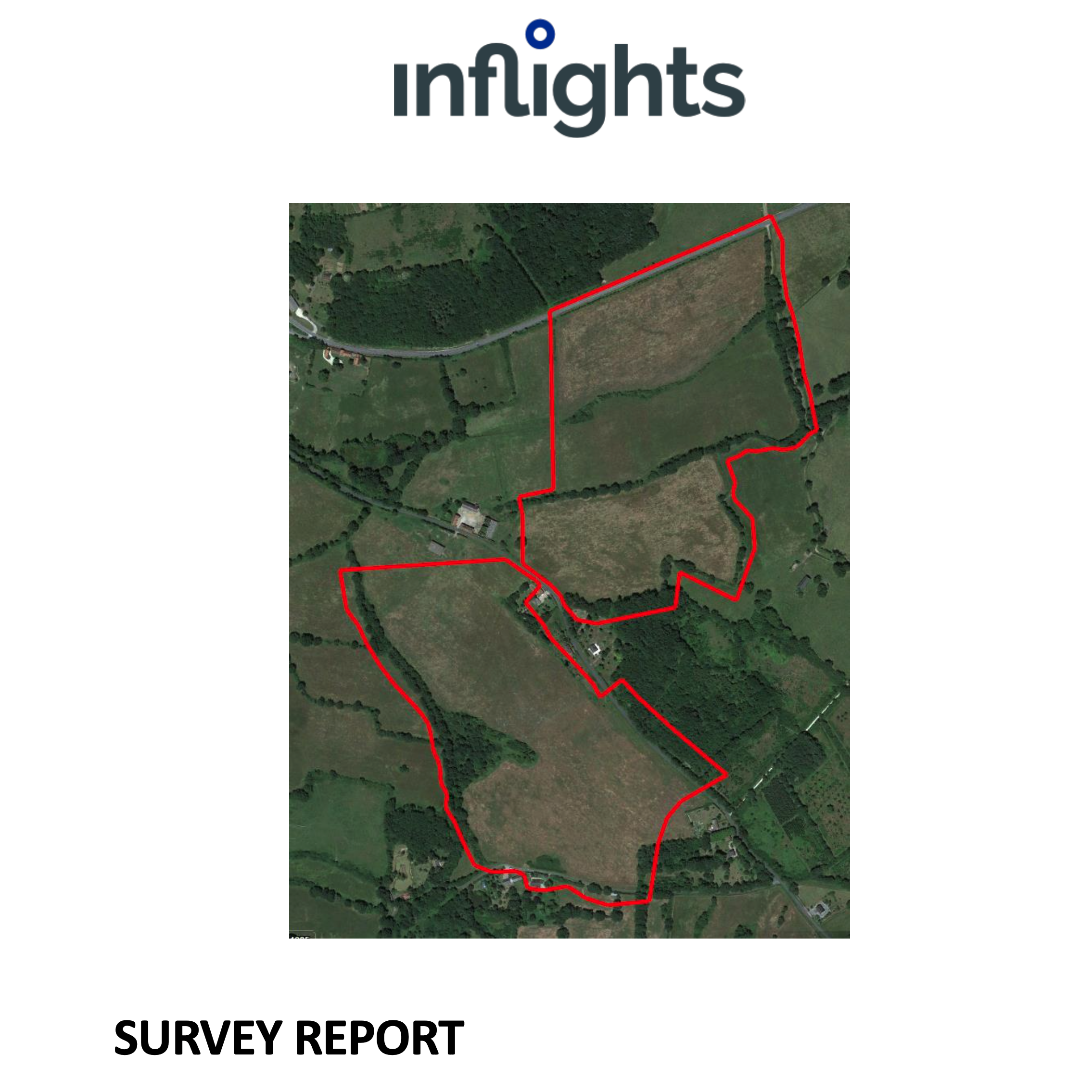
Deliverables
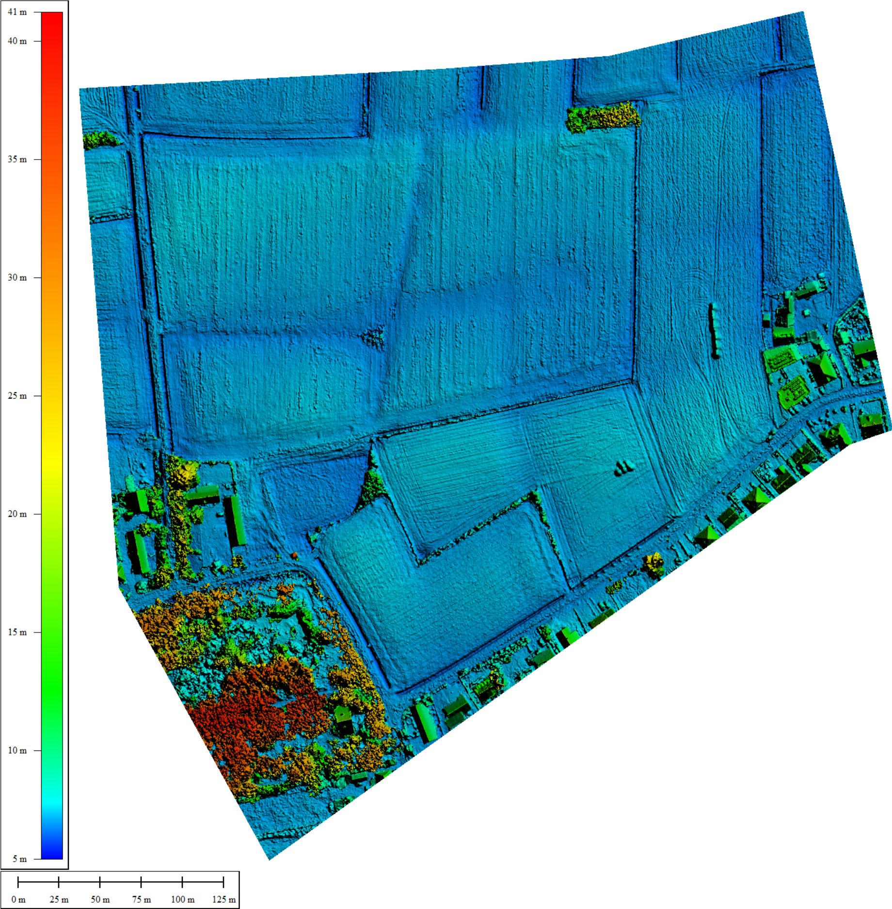
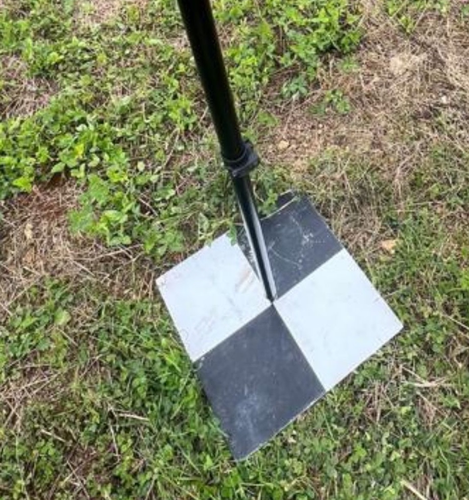
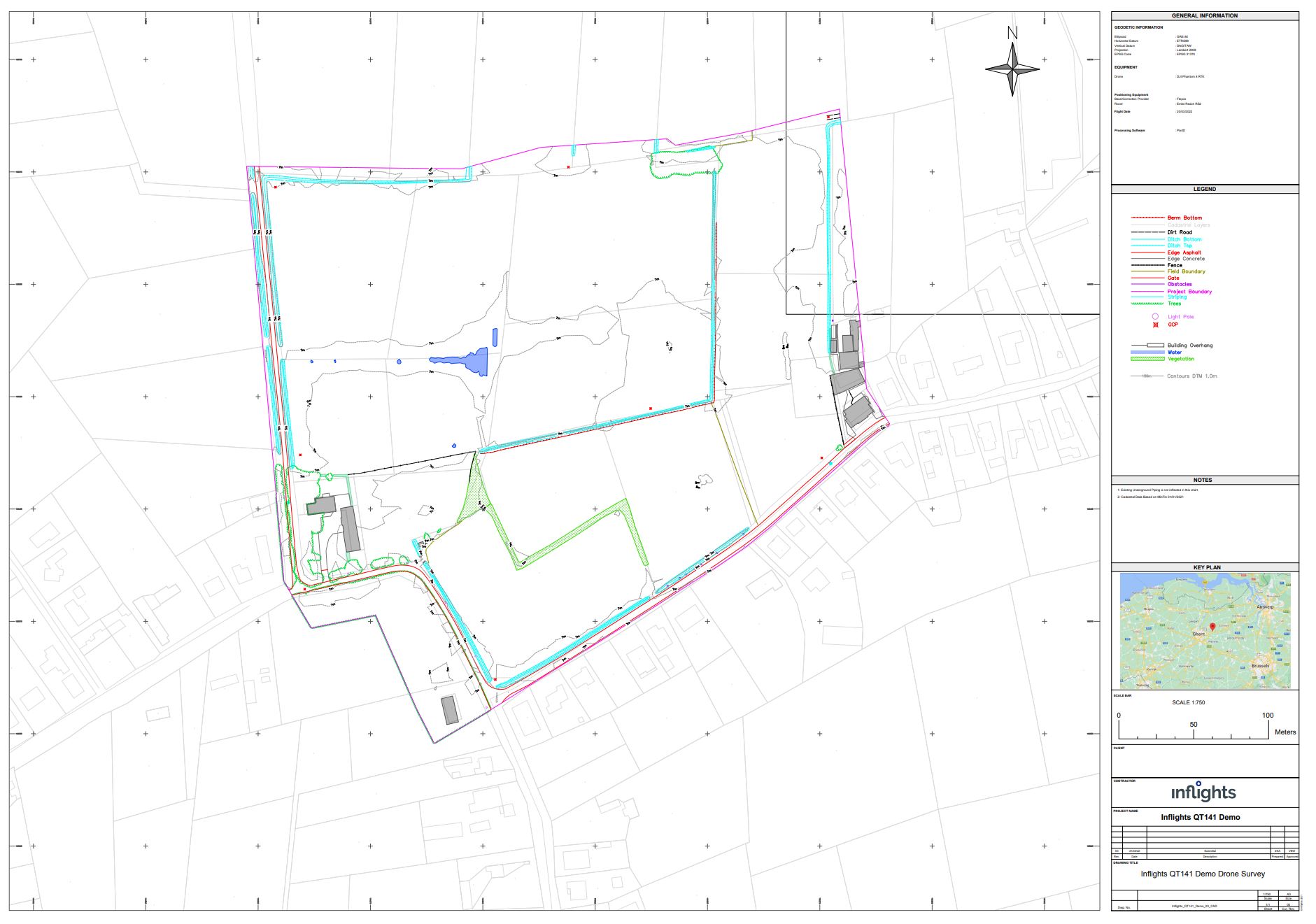
The standard specifications for our terrain mapping with CAD deliverables are 3 cm GSD resolution and 6 cm relative accuracy in XYZ. All deliverables are provided in formats compatible with standard inspection, reporting and asset management workflows.
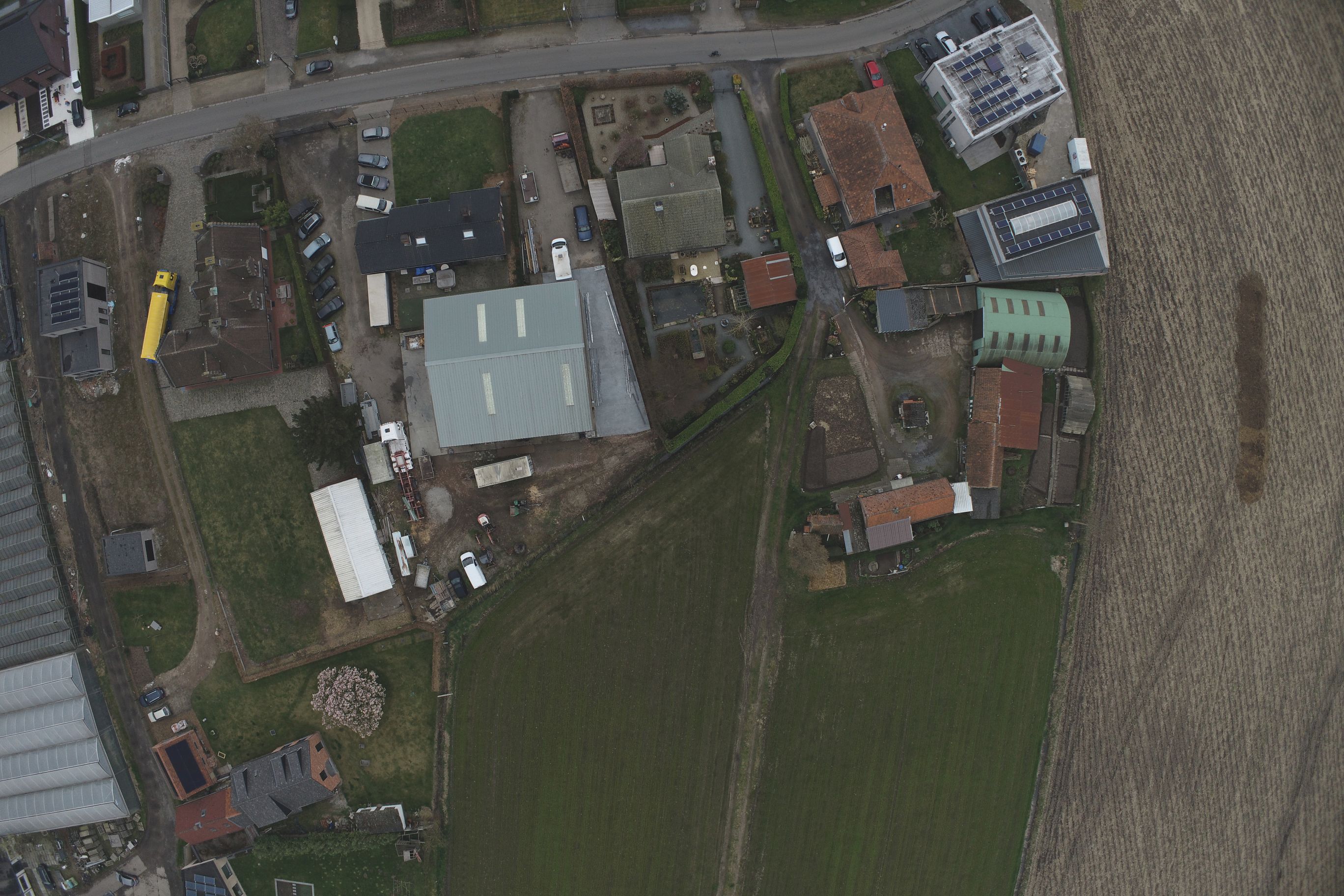
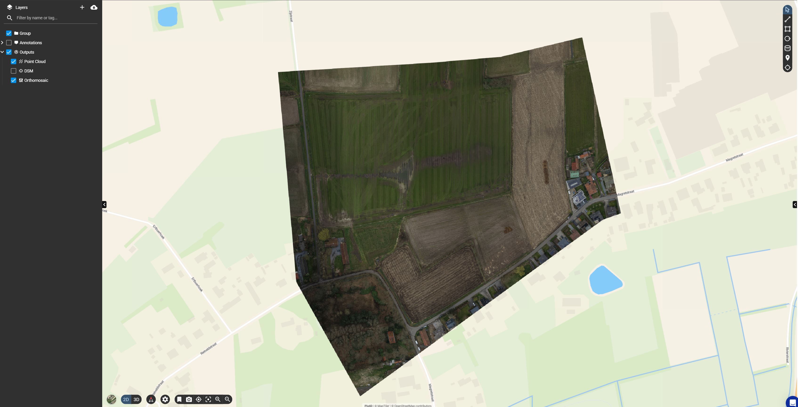
See it in action
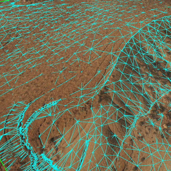
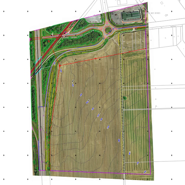
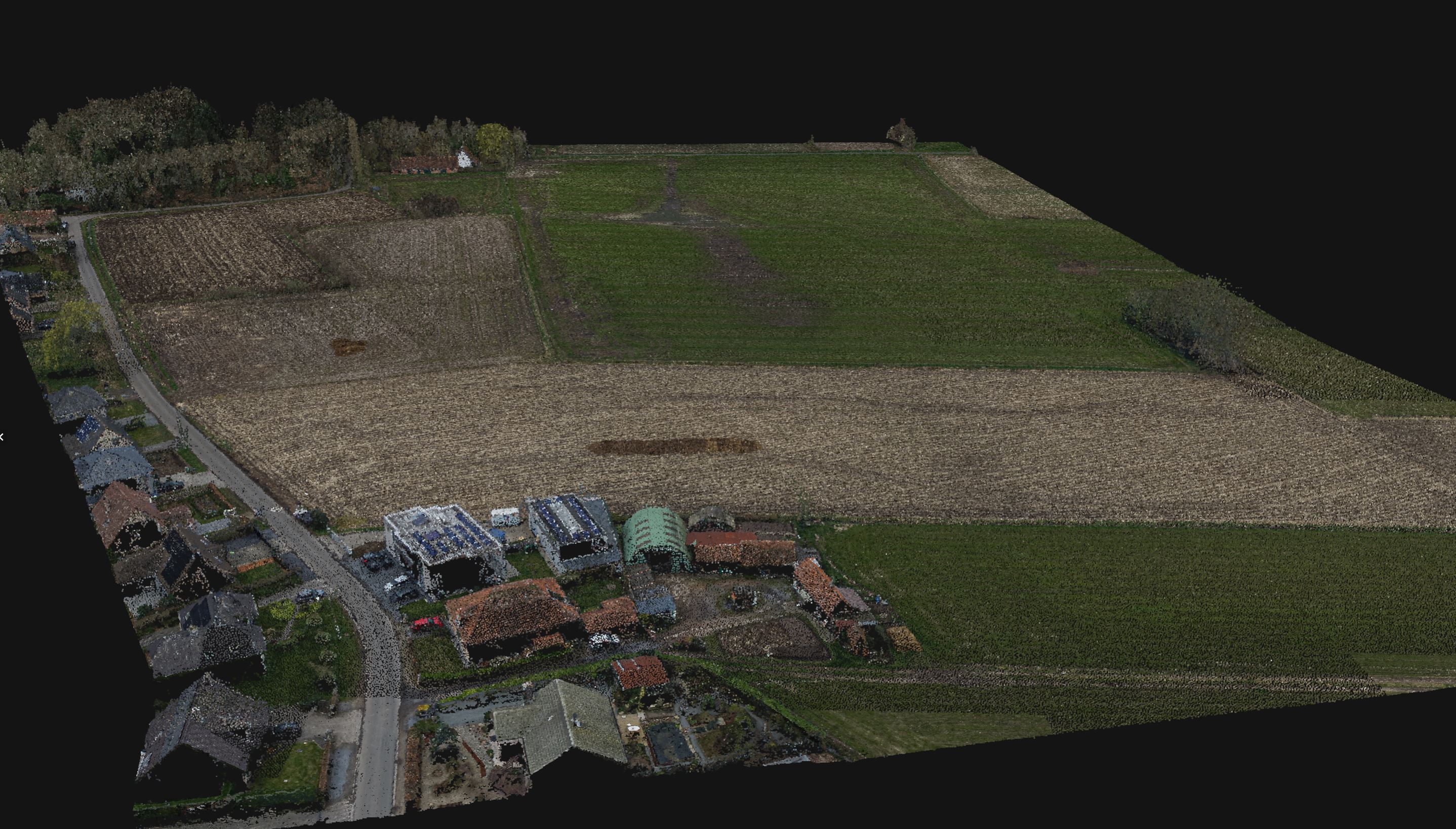
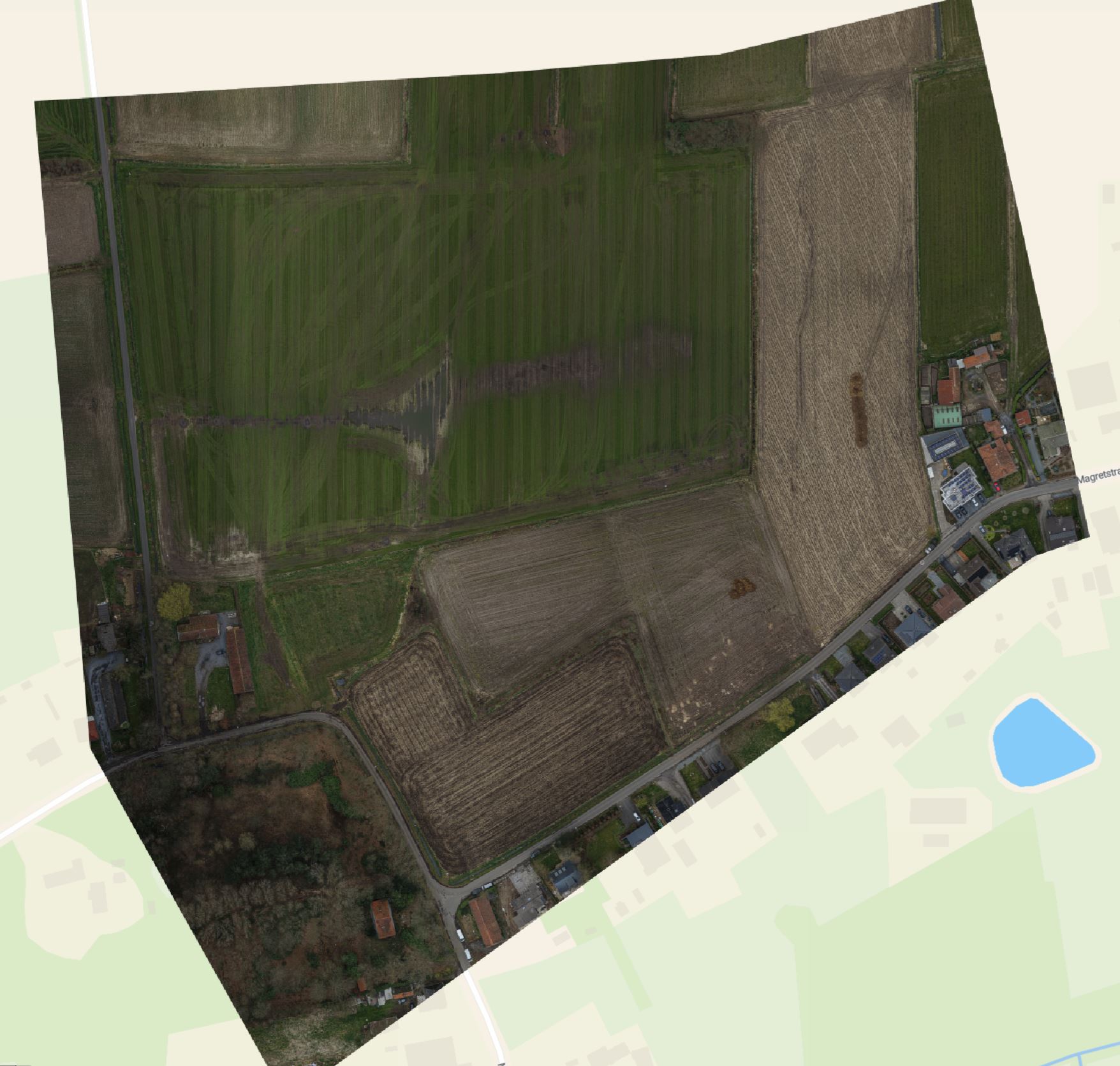
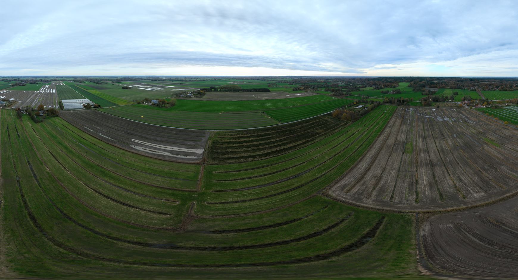
From drone data to final deliverable.
Pricing
All-inclusive. Exact price depends on location and terrain.
About this insight
Planning ground-mounted PV installations often relies on incomplete terrain data, outdated surveys or rough satellite imagery. This can lead to design iterations, inaccurate earthworks estimates and avoidable delays. Terrain mapping with CAD replaces these uncertainties with precise drone-based terrain models and delivers CAD-ready outputs that engineering and design teams can use immediately.
Standard specifications: 3.5 cm GSD resolution.